Manchaca in Travis County, Texas — The American South (West South Central)
Live Oak Cemetery
Texas Historical Reclamation Project, November 7, 2025
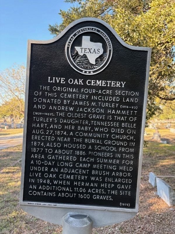
1. Live Oak Cemetery Marker
This marker was cleaned and repainted by the Texas Historical Reclamation Project on 11/7/2025.
The original four-acre section of this cemetery included land donated by James M. Turley (1856-83) and Andrew Jackson Hammett (1829-1907). The oldest grave is that of Turley's daughter, Tennessee Belle Hart, and her baby, who died on Aug. 27, 1874. A community church, erected near the burial ground in 1874, also housed a school from 1877 to about 1886. Pioneers in this area gathered each summer for a 10-day long camp meeting held under an adjacent brush arbor. Live Oak Cemetery was enlarged in 1948, when Herman Heep gave an additional 11.06 acres. The site contains about 1600 graves.
Erected 1976 by Texas Historical Commission. (Marker Number 16137.)
Topics. This historical marker is listed in this topic list: Cemeteries & Burial Sites. A significant historical month for this entry is August 1947.
Location. 30° 7.529′ N, 97° 49.055′ W. Marker is in Manchaca, Texas, in Travis County. It is on Twin Creek Road west of Iron Bridge Drive, on the right when traveling west. Touch for map. Marker is in this post office area: Manchaca TX 78652, United States of America. Touch for directions.

Regionally, this marker is in Central Texas
this page online
Other nearby markers. At least 8 other markers are within 4 miles of this marker, measured as the crow flies: Manchaca United Methodist Church (approx. 1.4 miles away); Education in Manchaca (approx. 1.4 miles away); McElroy-Severn House (approx. 2.9 miles away); Buda United Methodist Church (approx. 3.3 miles away); Buda School (approx. 3.3 miles away); Buda (approx. 3.3 miles away); Buda Christian Church (approx. 3.4 miles away); Antioch Colony (approx. 3.4 miles away). Touch for a list and map of all markers in Manchaca.

Photographed by Keith Peterson, December 20, 2007
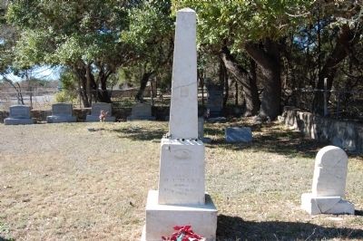
2. Live Oak Cemetery and Marker
Photographed by Keith Peterson, December 20, 2007
3. Tennessee Belle Hart Gravestone
Photographed by Keith Peterson, December 20, 2007
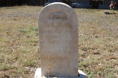
4. Infant Son of T. Belle Hart Gravestone
Photographed by Keith Peterson, December 20, 2007
5. Live Oak Cemetery Marker
Credits. This page was last revised on November 12, 2025. It was originally submitted on January 23, 2010. This page has been viewed 3,096 times since then and 173 times this year. Last updated on October 29, 2020, by Richard Denney of Austin, Texas. Photos: 1. submitted on November 11, 2025, by Texas Marker Rescue of Austin, Texas. 2, 3, 4, 5. submitted on January 23, 2010, by Keith Peterson of Cedar Park, Texas. • J. Makali Bruton was the editor who published this page.
