Lancaster in Coos County, New Hampshire — The American Northeast (New England)
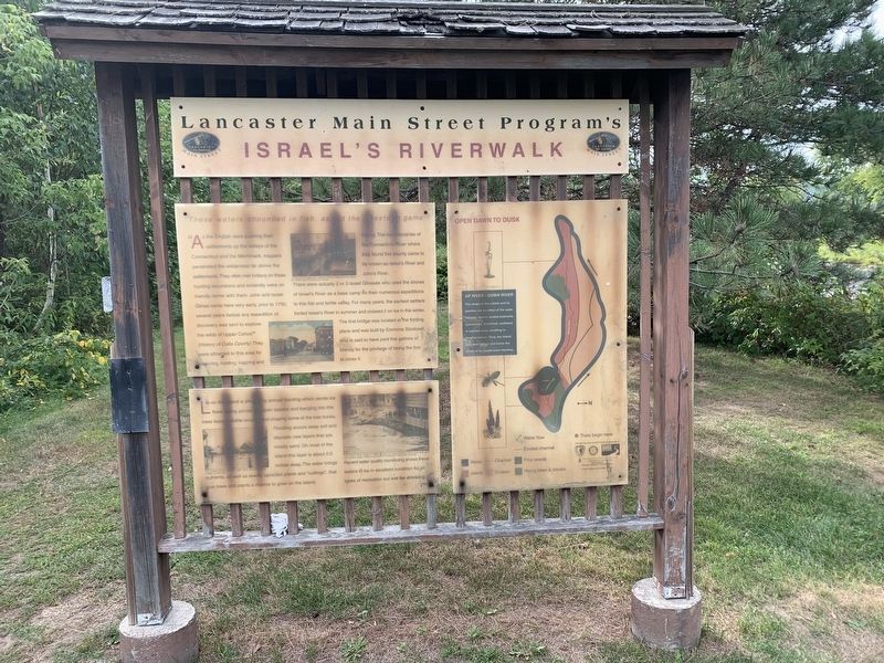
Lancaster Main Street Program’s
Israel’s Riverwalk
Top Left Panel:
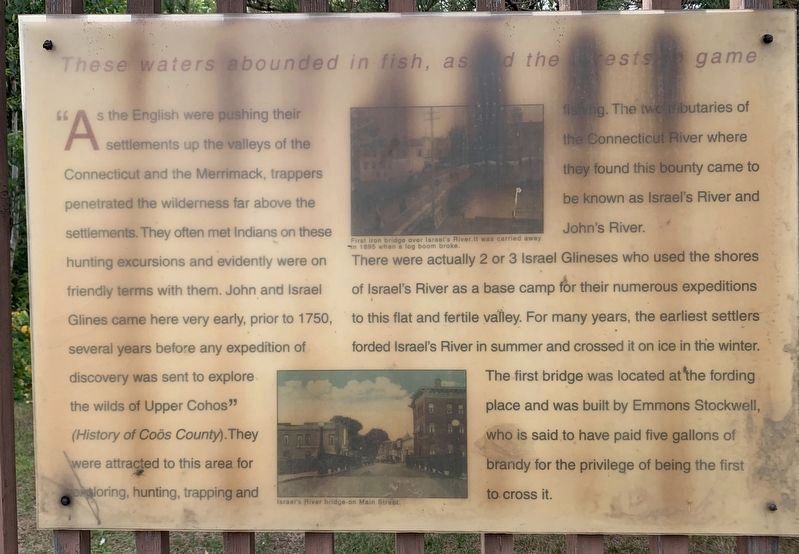
These waters abounded in fish, as did the forests in game
As the English were pushing their settlements up the valleys of the Connecticut and the Merrimack, trappers penetrated the wilderness far above the settlements. They often met Indians on these hunting excursions and evidently were on friendly terms with them. John and Israel Glines came here very early, prior to 1750, several years before any expedition of discovery was sent to explore the exploring, hunting, trapping and wilds of “Upper Cohos" (History of Coos County). They were attracted to this area for fishing. The twc tributaries of the Connecticut River where they found this bounty came to be known as Israel's River and John's River.
There were actually 2 or 3 Israel Glineses who used the shores of Israel's River as a base camp for their numerous expeditions to this flat and fertile valley. For many years, the earliest settlers forded Israel's River in summer and crossed it on ice in the winter. The first bridge was located at the fording place and was built by Emmons Stockwell, who is said to have paid five gallons of brandy for the privilege of being the first to cross it.
Top Photo Caption: First iron bridge over Israel's River.It was çarried away in 1895 when a log boom broke.
Bottom Photo Caption: Israel's River bridge on Main Street.
Bottom Left Panel:
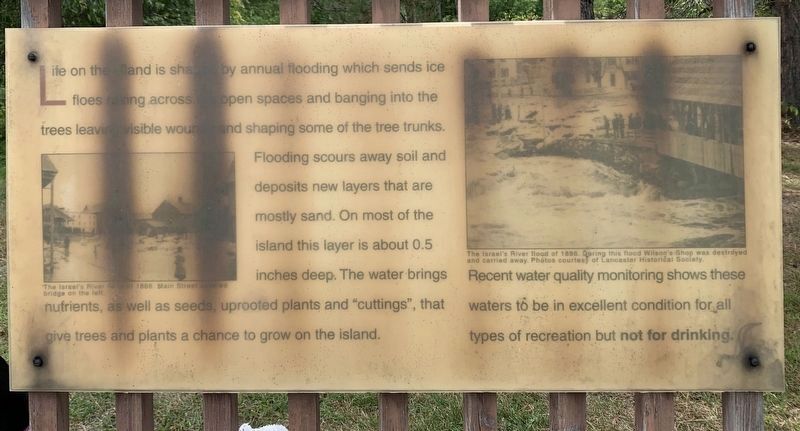
Life on the land is shaped by annual flooding which sends ice floes raking across the open spaces and banging into the trees leaving visible wounds and shaping some of the tree trunks. Flooding scours away soil and deposits new layers that are mostly sand. On most of the island this layer is about 0.5 inches deep. The water brings nutrients, as well as seeds, uprooted plants and "cuttings", that give trees and plants a chance to grow on the island.
Recent water quality monitoring shows these waters to be in excellent condition for all types of recreation but not for drinking.
Top Photo: The Israel's River flood of 1886. During this flood Wilson's Shop was destroyed and carried away. Photos courtesy of Lancaster Historical Society. Left Photo: The Israel's River flood of 1886. Main Street covered bridge on the left.
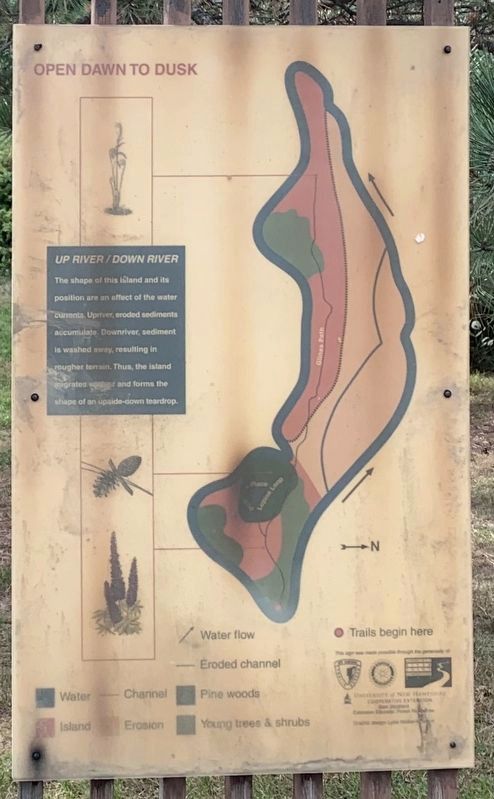
Right Panel:
The shape of this island and its position are an effect of the water currents. Upriver, eroded sediments accumulate. Downriver, sediment is washed away, resulting in rougher terrain. Thus, the island migrates upriver and forms the shape of an upside-down teardrop.
Topics. This historical marker is listed in these topic lists: Environment • Industry & Commerce • Settlements & Settlers. A significant historical year for this entry is 1750.
Location. 44° 29.269′ N, 71° 34.213′ W. Marker is in Lancaster, New Hampshire, in Coos County. Marker can be reached from Main Street (Route 2) north of Mechanic Street, on the left when traveling north. Touch for map. Marker is in this post office area: Lancaster NH 03584, United States of America. Touch for directions.
Other nearby markers. At least 8 other markers are within walking distance of this marker. The Thompson Legacy (within shouting distance of this marker); First Church of Lancaster (about 700 feet away, measured in a direct line); Lancaster War Memorial (approx. 0.2 miles away); Col. Edward Cross (approx. ¼ mile away); a different marker also named Lancaster War Memorial (approx. ¼ mile away); Stone House (approx. 0.4 miles away); Wilder-Holton House (approx. 0.7 miles away); Lancaster N. H.: Stories of People and Places (approx. 0.7 miles away). Touch for a list and map of all markers in Lancaster.
Credits. This page was last revised on February 16, 2023. It was originally submitted on October 29, 2020, by Steve Stoessel of Niskayuna, New York. This page has been viewed 120 times since then and 11 times this year. Photos: 1, 2, 3, 4. submitted on October 29, 2020, by Steve Stoessel of Niskayuna, New York. • Bill Pfingsten was the editor who published this page.


