Orleans in Barnstable County, Massachusetts — The American Northeast (New England)
Origins of Orleans
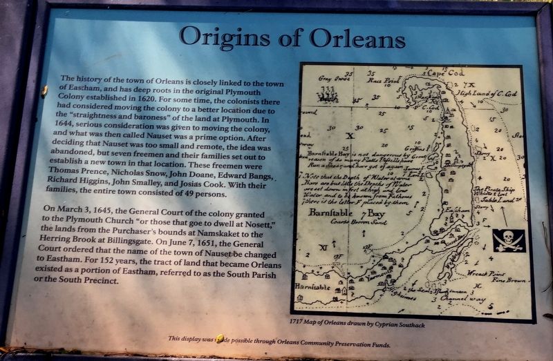
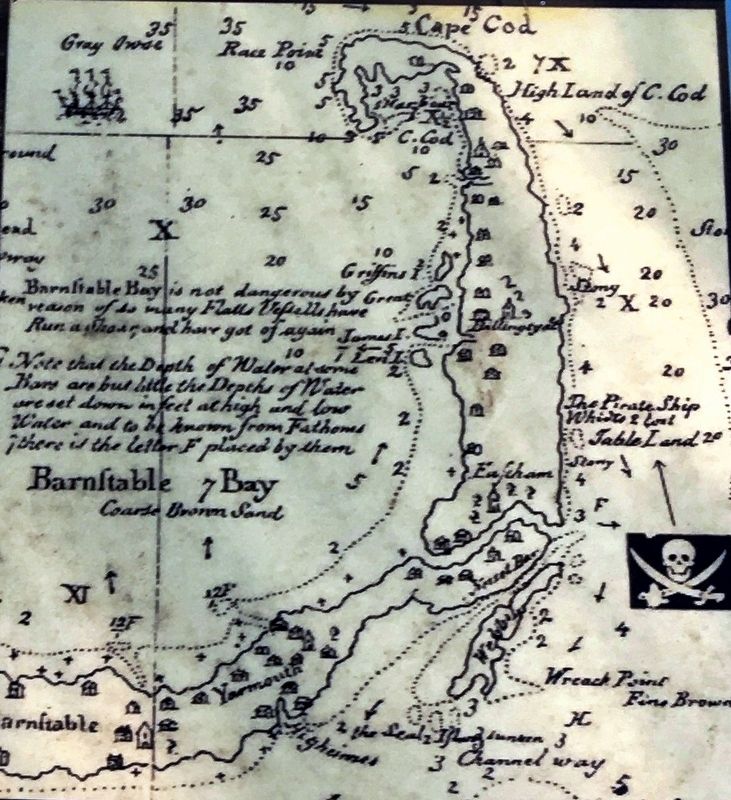
The history of the town of Orleans is closely linked to the town of Eastham, and has deep roots in the original Plymouth Colony established in 1620. For some time, the colonists there had considered moving the colony to a better location due to the “straightness and baroness” of the land at Plymouth. In 1644, serious consideration was given to moving the colony, and what was then called Nauset was a prime option. After deciding that Nauset was too small and remote, the idea was abandoned, but seven freemen and their families set out establish a new town in that location. These freemen were Thomas Prence, Nicholas Snow, John Doane, Edward Bangs, Richard Higgins, John Smalley, and Josias Cook. With their families, the entire town consisted of 49 persons.
On March 3, 1645, the General Court of the colony granted to the Plymouth Church “or those that goe to dwell at Nosett,” the lands from the purchaser’s bounds at Namskaket to the Herring brook at Billingsgate. On June 7, 1651, the General Court ordered that the name of the town of Nauset be changed to Eastham. For 152 years, the tract of land that became Orleans existed as a portion of Eastham, referred to as the South Parish or the South Precinct.
Erected by Orleans Community Preservation Committee.
Topics. This historical marker is listed in these topic lists: Colonial Era • Settlements & Settlers. A significant historical date for this entry is March 3, 1645.
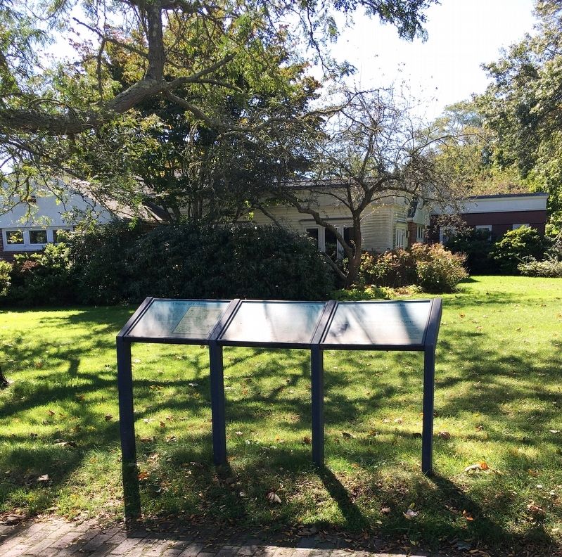
Location. 41° 47.163′ N, 69° 59.328′ W. Marker is in Orleans, Massachusetts, in Barnstable County. Marker is at the intersection of Main Street and South Orleans Road (Massachusetts Route 28), on the left when traveling west on Main Street. Marker located in front of historic Snow Library. Touch for map. Marker is at or near this postal address: 67 Main Street, Orleans MA 02653, United States of America. Touch for directions.
Other nearby markers. At least 8 other markers are within walking distance of this marker. Orleans’ First Resident? (here, next to this marker); The Incorporation of Orleans (here, next to this marker); Orleans Korean War and Vietnam War Memorial (about 400 feet away, measured in a direct line); Academy Place (about 400 feet away); Orleans War Memorial (about 400 feet away); Orleans Honor Roll (about 500 feet away); The French Transatlantic Telegraph Cable, 1898 (about 700 feet away); French–Atlantic Cable Company (about 800 feet away). Touch for a list and map of all markers in Orleans.
Credits. This page was last revised on October 29, 2020. It was originally submitted on October 29, 2020, by Brandon D Cross of Flagler Beach, Florida. This page has been viewed 200 times since then and 10 times this year. Photos: 1, 2, 3, 4. submitted on October 29, 2020, by Brandon D Cross of Flagler Beach, Florida. • Bernard Fisher was the editor who published this page.


