Near Elyria in Lorain County, Ohio — The American Midwest (Great Lakes)
Lorain County Community College
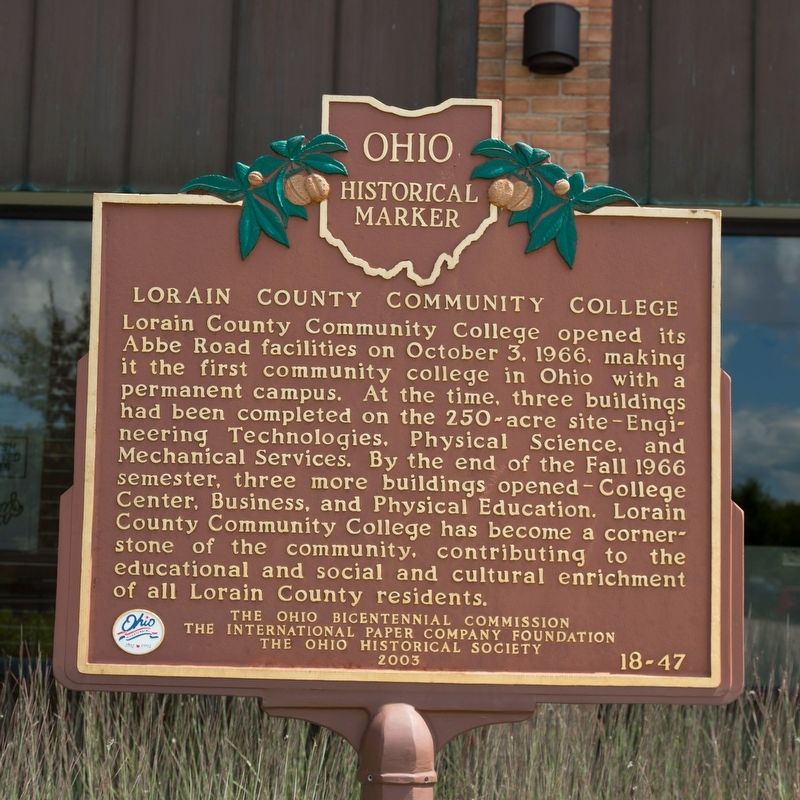
Photographed by J. J. Prats, August 24, 2019
1. Lorain County Community College Marker
Erected 2003 by the Ohio Bicentennial Commission, the International Paper Foundation, and The Ohio Historical Society. (Marker Number 18-47.)
Topics and series. This historical marker is listed in this topic list: Education. In addition, it is included in the Ohio Historical Society / The Ohio History Connection series list. A significant historical date for this entry is October 3, 1966.
Location. 41° 24.797′ N, 82° 4.437′ W. Marker is near Elyria, Ohio, in Lorain County. It is on College Drive south of North Abbe Road and Antioch Drive (Ohio
this page online

Regionally, this marker is in Greater Cleveland, on the Lake Erie Shore, and in the Western Reserve. It is also in the American Midwest. Globally, it is in North America, on the Great Lakes, in the Western Hemisphere, in the Western World, and in the Anglosphere. Historically, it finds itself in what was once the Haudenosaunee (Iroquois) Confederacy, the territory of the Mississippian Culture, and the Northwest Territory.
Other nearby markers. At least 8 other markers are within 4 miles of this marker, measured as the crow flies: Valley Of The Giants (approx. 2½ miles away); Black River Bridgeway Trail (approx. 2.6 miles away); Edgar F. “Daddy” Allen (approx. 3 miles away); Burrell Homestead (approx. 3.3 miles away); Timeline of Dr. Norton S. Townshend (approx. 3.3 miles away); Norton S. Townshend, M.D. (approx. 3.3 miles away); Birthplace of Easter Seal Society (approx.
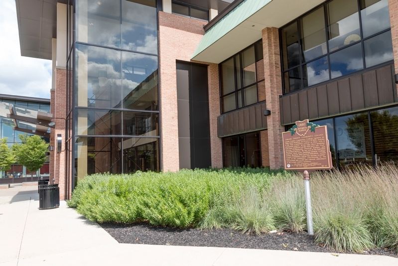
Photographed by J. J. Prats, August 24, 2019
2. Lorain County Community College Marker
Credits. This page was last revised on June 6, 2023. It was originally submitted on December 10, 2019, by J. J. Prats of Powell, Ohio. This page has been viewed 439 times since then and 37 times this year. Last updated on June 2, 2023, by Grant & Mary Ann Fish of Galloway, Ohio. Photos: 1, 2. submitted on December 10, 2019, by J. J. Prats of Powell, Ohio. • J. Makali Bruton was the editor who published this page.
