Dayton in Columbia County, Washington — The American West (Northwest)
Dodge Quarantine Cabin
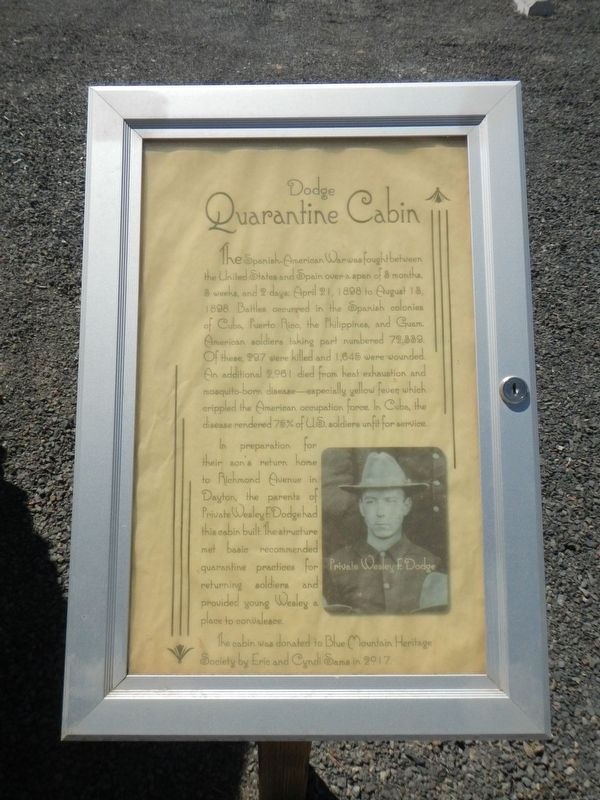
Inscription.
The Spanish-American War was fought between the United States and Spain over a span of 3 months, 3 weeks, and 2 days: April 21, 1898 to August 13, 1898. Battle occurred in the Spanish colonies of Cuba, Puerto Rico, the Philippines, and Guam. American soldiers taking part numbered 72,339. Of these 297 were killed and 1,645 were wounded. An additional 2,981 died from heat exhaustion and mosquito-born diseased - especially yellow fever which crippled the American occupation force. In Cuba, the disease rendered 75% of U.S. soldiers unfit for service.
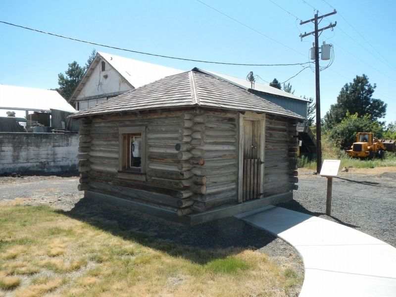
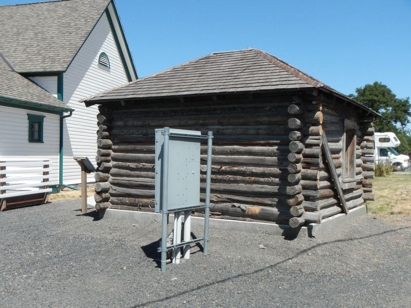
In preparation for their son's return home to Richmond Avenue in Dayton, the parents of Private Wesley R. Dodge had this cabin built. The structure met basic recommended quarantine practices for returning soldiers and provided young Wesley a place to convalesce.
This cabin was donated to Blue Mountain Heritage Society by Eric and Cyndi Sama in 2017.
Erected by Blue Mountain Heritage Society.
Topics. This historical marker is listed in these topic lists: Notable Buildings • Science & Medicine • War, Spanish-American.
Location. 46° 19.154′ N, 117° 58.984′ W. Marker is in Dayton, Washington, in Columbia County. Marker is at the intersection of North Front Street and East Commercial Street Avenue, on the left when traveling north on North Front Street. Touch for map. Marker is at or near this postal address: 113 North Front Street, Dayton WA 99328, United States of America. Touch for directions.
Other nearby markers. At least 8 other markers are within walking distance of this marker. Smith Hollow Schoolhouse (within shouting distance of this marker); Cayuse, Umatilla, and Walla Walla Homeland (about 300 feet away, measured in a direct line); "a good road" (about 300 feet away); The Celilo Falls Trail (about 700 feet away); Oldest Existing Depot in the State of Washington (approx. 0.2 miles away); Railroad Track Park (approx. 0.2 miles away); Columbia County Courthouse (approx. ¼ mile away); City of Dayton (approx. ¼ mile away). Touch for a list and map of all markers in Dayton.
Credits. This page was last revised on October 31, 2020. It was originally submitted on October 31, 2020, by Barry Swackhamer of Brentwood, California. This page has been viewed 155 times since then and 16 times this year. Photos: 1, 2, 3. submitted on October 31, 2020, by Barry Swackhamer of Brentwood, California.


