Kingsville in Harford County, Maryland — The American Northeast (Mid-Atlantic)
Site of the Upper Jericho Saw Mill
Inscription.
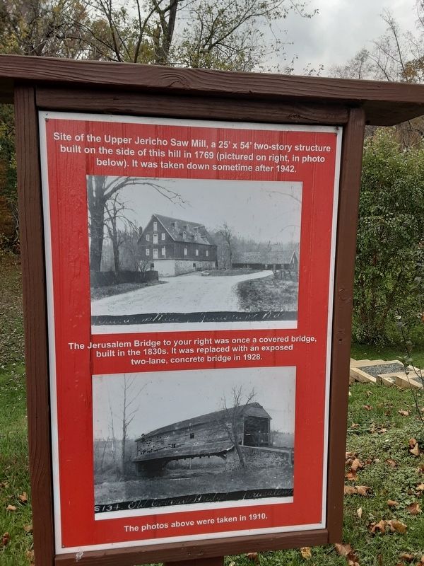
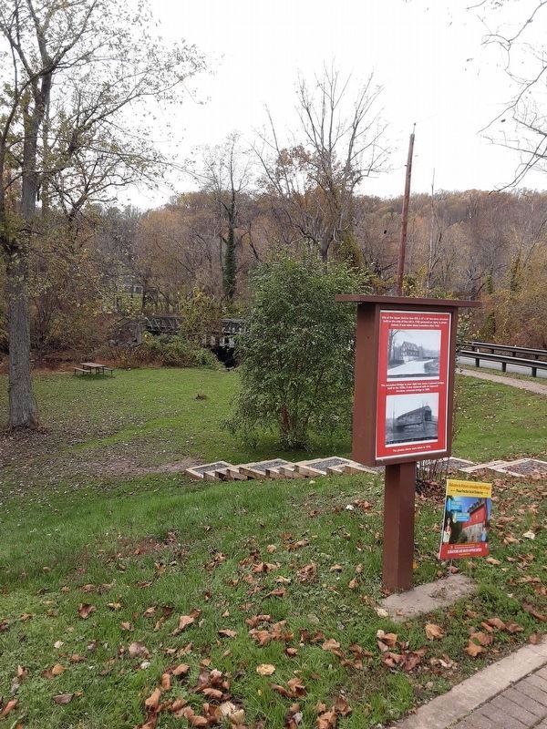
Site of the Upper Jericho Saw Mill, a 25' x 54' two-story structure
built on the side of this hill in 1769 (pictured on right, in photo
below). It was taken down sometime after 1942.
The Jerusalem Bridge to your right was once a covered bridge, built in the 1830s. It was replaced with an exposed two-lane, concrete bridge in 1928.
The photos above were taken in 1910.
Topics. This historical marker is listed in these topic lists: Industry & Commerce • Roads & Vehicles. A significant historical year for this entry is 1769.
Location. 39° 27.741′ N, 76° 23.466′ W. Marker is in Kingsville, Maryland, in Harford County. Marker is on Jerusalem Road, on the right when traveling east. Touch for map. Marker is in this post office area: Kingsville MD 21087, United States of America. Touch for directions.
Other nearby markers. At least 8 other markers are within 2 miles of this marker, measured as the crow flies. Jerusalem Mills (a few steps from this marker); Mill Race Entry (within shouting distance of this marker); Milestone (within shouting distance of this marker); Gunpowder Falls State Park (about 300 feet away, measured in a direct line); Harry Gilmor's Raid (about 600 feet away); The Lime Kiln (approx. 0.2 miles away); Franklinville (approx. one mile away); “Olney” (approx. 1˝ miles away). Touch for a list and map of all markers in Kingsville.
Credits. This page was last revised on November 19, 2022. It was originally submitted on November 2, 2020, by Carl Gordon Moore Jr. of North East, Maryland. This page has been viewed 293 times since then and 16 times this year. Photos: 1, 2, 3. submitted on November 2, 2020, by Carl Gordon Moore Jr. of North East, Maryland. 4. submitted on January 14, 2022, by Adam Margolis of Mission Viejo, California. • Bill Pfingsten was the editor who published this page.


