Near Franklin in Simpson County, Kentucky — The American South (East South Central)
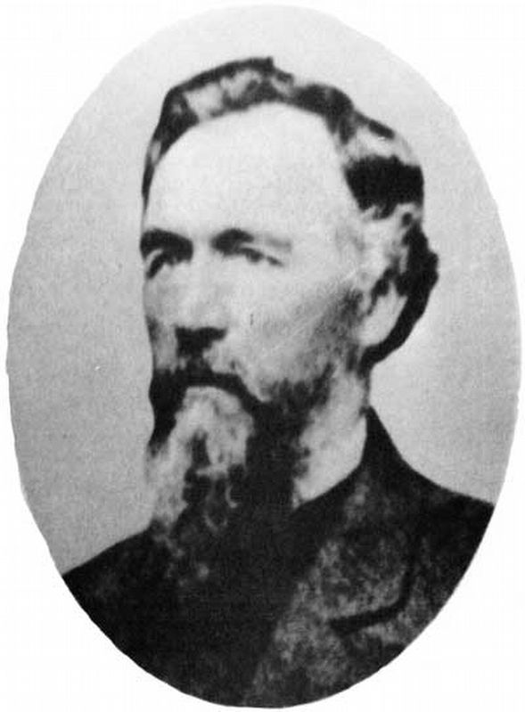
Alexander Majors
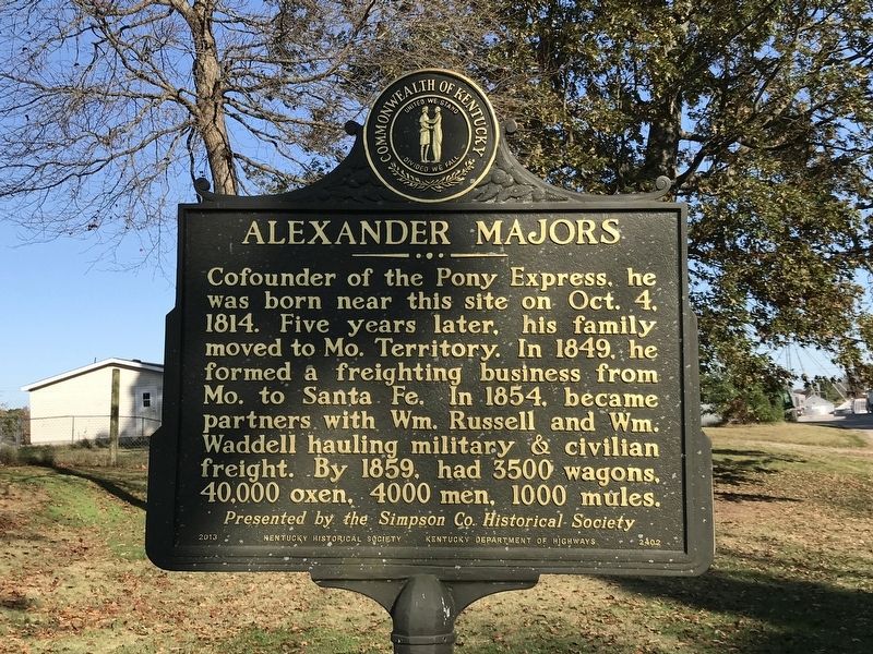
Cofounder of the Pony Express, he was born near this site on Oct. 4, 1814. Five years later, his family moved to Mo. Territory. In 1849, he formed a freighting business from Mo. to Santa Fe. In 1854, became partners with Wm. Russell and Wm. Waddell hauling military & civilian freight. By 1859, had 3500 wagons, 40,000 oxen, 4000 men, 1000 mules.
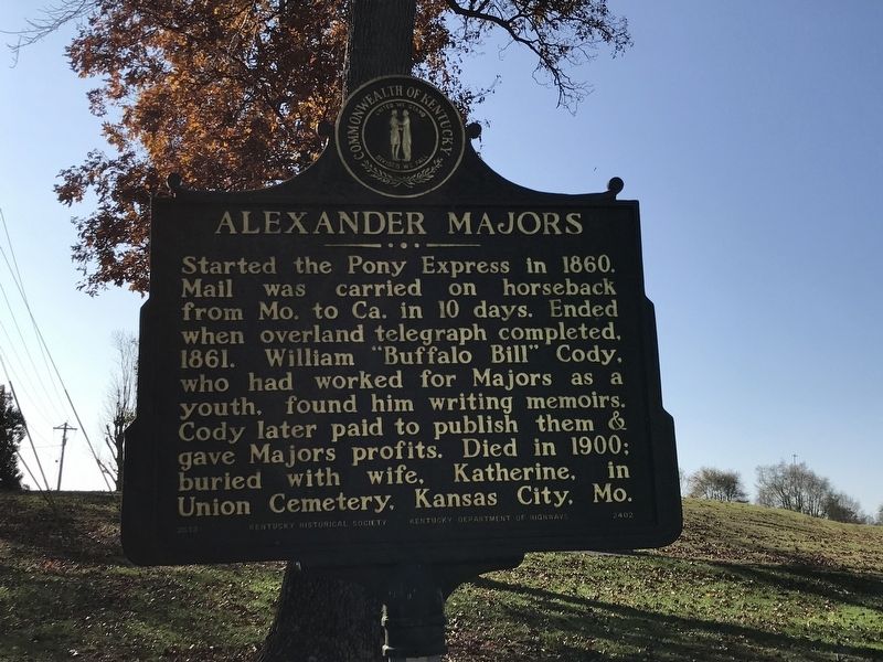
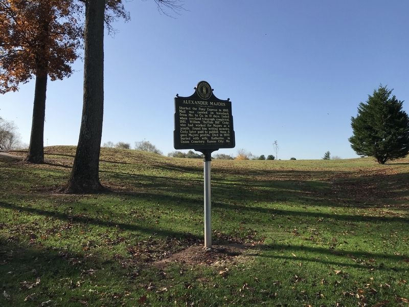
Started the Pony Express in 1860. Mail was carried on horseback from Mo. to Ca. in 10 days. Ended when overland telegraph completed, 1861. William “Buffalo Bill” Cody, who had worked for Majors as a youth, found him writing memoirs. Cody later paid to publish them & gave Majors profits. Died in 1900: buried with wife, Katherine, in Union Cemetery, Kansas City, Mo.
Erected 2013 by Kentucky Historical Society and Kentucky Department of Highways; Presented by Simpson County Historical Society. (Marker Number 2402.)
Topics and series. This historical marker is listed in these topic lists: Communications • Industry & Commerce. In addition, it is included in the Kentucky Historical Society series list. A significant historical date for this entry is October 4, 1814.
Location. 36° 41.478′ N, 86° 32.217′ W. Marker is near Franklin, Kentucky, in Simpson County. Marker is on Kenny Perry Drive , ¾ mile south of Rapids Road, on the right when traveling south. Touch for map. Marker is at or near this postal address: 720 Kenny Perry Drive, Franklin KY 42134, United States of America. Touch for directions.
Other nearby markers. At least 8 other markers are within 2 miles of this marker, measured as the crow flies. "Duel at Sunrise" (approx. 2 miles away); "War Clouds" (approx. 2 miles away); "Frontier Portraits" (approx. 2 miles away); "Bringing in the Sheaves" (approx. 2 miles away); "High Noon for a New Century" (approx. 2 miles away); Captain Thomas F. Mantell, Jr. (approx. 2 miles away); "Mule Day Afternoon" (approx. 2 miles away); "School Days, School Days" (approx. 2 miles away). Touch for a list and map of all markers in Franklin.
Also see . . . Biography of Alexander Majors. By Kansas City (MO) Public Library. (Submitted on November 2, 2020, by Duane and Tracy Marsteller of Murfreesboro, Tennessee.)
Credits. This page was last revised on November 2, 2020. It was originally submitted on November 2, 2020, by Duane and Tracy Marsteller of Murfreesboro, Tennessee. This page has been viewed 168 times since then and 15 times this year. Photos: 1, 2, 3, 4. submitted on November 2, 2020, by Duane and Tracy Marsteller of Murfreesboro, Tennessee. • Devry Becker Jones was the editor who published this page.


