Near Franklin in Simpson County, Kentucky — The American South (East South Central)
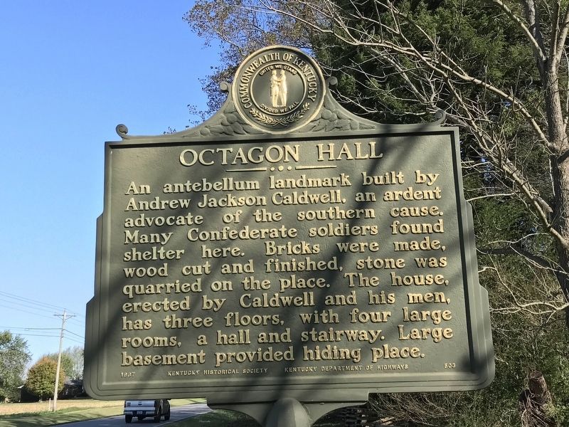
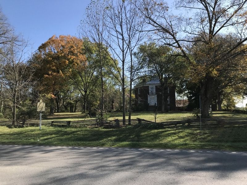
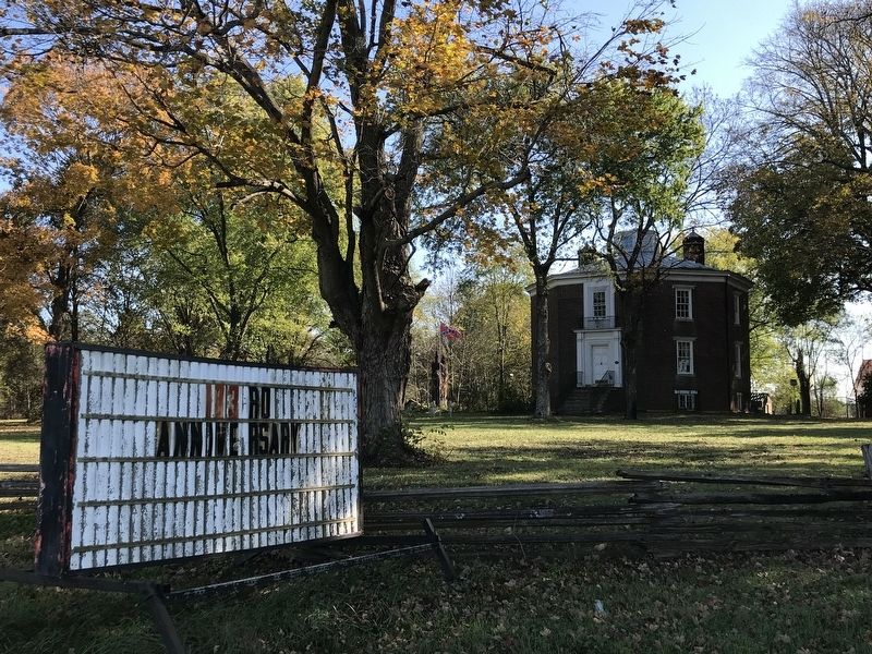
Octagon Hall
Erected 1967 by Kentucky Historical Society and Kentucky Department of Highways. (Marker Number 503.)
Topics and series. This historical marker is listed in these topic lists: Architecture • War, US Civil. In addition, it is included in the Kentucky Historical Society series list.
Location. 36° 48.447′ N, 86° 33.454′ W. Marker is near Franklin, Kentucky, in Simpson County. Marker is on Bowling Green Road (U.S. 31W) 0.1 miles north of Carr Road, on the right when traveling north. Touch for map. Marker is at or near this postal address: 6040 Bowling Green Road, Franklin KY 42134, United States of America. Touch for directions.
Other nearby markers. At least 8 other markers are within 6 miles of this marker, measured as the crow flies. "Sue Mundy's" Grave (approx. 5.7 miles away); Lincoln School (approx. 5.7 miles away); a different marker also named Lincoln School (approx. 5.7 miles away); Old Stone Jail / Jailer's Residence (approx. 5.9 miles away); Beverly L. Clarke (approx. 6 miles away); Simpson County Civil War Monument (approx. 6 miles away); Cash-Carter Wedding / Walk the Line (approx. 6 miles away); Simpson County Desert Shield / Desert Storm Veterans Monument (approx. 6 miles away). Touch for a list and map of all markers in Franklin.
Also see . . .
1. Octagon Hall Museum. Website for the historical site. Includes history, both corporeal and paranormal. (Submitted on November 2, 2020, by Duane and Tracy Marsteller of Murfreesboro, Tennessee.)
2. Octagon Hall (Wikipedia). (Submitted on November 2, 2020, by Duane and Tracy Marsteller of Murfreesboro, Tennessee.)
Additional keywords. Paranormal; haunted
Credits. This page was last revised on November 3, 2020. It was originally submitted on November 2, 2020, by Duane and Tracy Marsteller of Murfreesboro, Tennessee. This page has been viewed 233 times since then and 18 times this year. Photos: 1, 2, 3. submitted on November 2, 2020, by Duane and Tracy Marsteller of Murfreesboro, Tennessee. • Bernard Fisher was the editor who published this page.


