Flora in Madison County, Mississippi — The American South (East South Central)
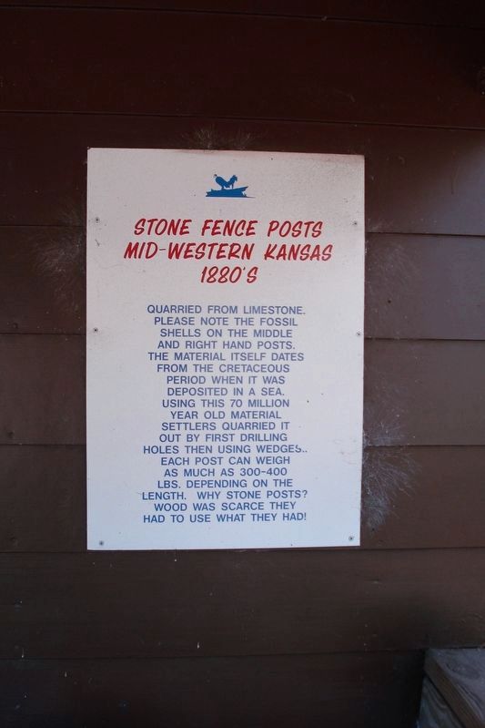
Stone Fence Posts Mid-Western Kansas 1880’s
Inscription.
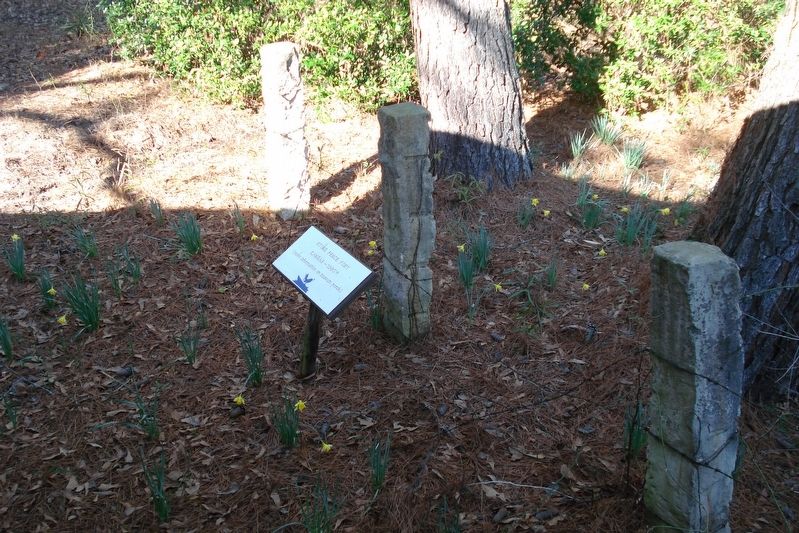
Quarried from Limestone. Please note the fossil shells on the middle and right hand posts. The material itself dates from the Cretaceous period when it was deposited in a sea. Using this 70 million year old material settlers quarried it out by first drilling holes then using wedges. Each post can weigh as much as 300-400 lbs. depending on the length. Why stone posts? Wood was scarce they had to use what they had!
Topics. This historical marker is listed in this topic list: Settlements & Settlers.
Location. 32° 30.871′ N, 90° 19.406′ W. Marker is in Flora, Mississippi, in Madison County. Marker can be reached from Forest Park Road, on the right when traveling west. Located at Visitor Center for Mississippi Petrified Forest. Touch for map. Marker is at or near this postal address: 124 Forest Park Road, Flora MS 39071, United States of America. Touch for directions.
Other nearby markers. At least 8 other markers are within 9 miles of this marker, measured as the crow flies. Environmental Archaeology (approx. 3.7 miles away); Pocahontas Mounds (approx. 3.7 miles away); Midden: Sifting Through the Trash (approx. 3.7 miles away); The Evolution of the Pocahontas Site (approx. 3.7 miles away); Landscape Modification in Prehistoric Times (approx. 3.7 miles away); Ceremonial Mounds Of The Southeast (approx. 3.8 miles away); a different marker also named Pocahontas Mounds (approx. 3.8 miles away); The Blue Front Café (approx. 9.1 miles away).
Credits. This page was last revised on November 18, 2020. It was originally submitted on November 3, 2020, by Roger Dean Meyer of Yankton, South Dakota. This page has been viewed 153 times since then and 11 times this year. Photos: 1, 2. submitted on November 3, 2020, by Roger Dean Meyer of Yankton, South Dakota. • Bill Pfingsten was the editor who published this page.

