Ridley Park in Delaware County, Pennsylvania — The American Northeast (Mid-Atlantic)
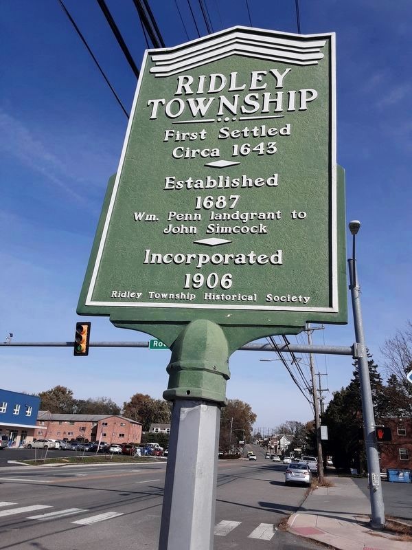
Ridley Township
Photographed by Carl Gordon Moore Jr., November 3, 2020
1. Ridley Township Marker
facing east along northbound US 13; Rodney Road comes in at right, just off camera
Circa 1643
Established
1687
Wm. Penn landgrant to
John Simcock
Incorporated
1906
Erected by Ridley Township Historical Society.
Topics. This historical marker is listed in these topic lists: Colonial Era • Settlements & Settlers. A significant historical year for this entry is 1643.
Location. 39° 52.756′ N, 75° 18.756′ W. Marker is in Ridley Park, Pennsylvania, in Delaware County. It is at the intersection of Chester Pike (U.S. 13) and Rodney Road, on the right when traveling east on Chester Pike. Marker, which is listed as being along Chester Pike, is in median of Rodney Road. Touch for map. Marker is in this post office area: Ridley Park PA 19078, United States of America. Touch for directions.

Regionally, this marker is in Southeast Pennsylvania and in Greater Philadelphia. It is also in the American Northeast and in the Mid-Atlantic. Globally, it is in North America, the Western Hemisphere, the Western World, and the Anglosphere. Historically, it finds itself in what was once the Haudenosaunee (Iroquois) Confederacy, New Netherland, and one of the original Thirteen Colonies.
this page online
Other nearby markers. At least 8 other markers are within walking distance of this marker: Welcome (approx. 0.4 miles away); Welcome to the Morton Homestead (approx. 0.4 miles away); a different marker also named Welcome to the Morton Homestead (approx. 0.4 miles away); John Morton– Signer of the Declaration of Independence (approx. 0.4 miles away); a different marker also named Morton Homestead (approx. 0.4 miles away); A Change For the Worse? (approx. 0.4 miles away); a different marker also named Darby Creek Then and Now (approx. 0.4 miles away); a different marker also named Darby Creek Then and Now (approx. 0.4 miles away).
Other markers no longer nearby. Welcome to The Morton Homestead (was approx. 0.4 miles away but has been replaced with another marker now near it); Darby Creek Then and Now (was approx. 0.4 miles away but has been replaced with another marker now near it); A Morton Mystery (was approx. 0.4 miles away but has been replaced with another marker now near it); The First Building (was approx. 0.4 miles away but has been replaced with another marker now near it); The Second Building (was approx. 0.4
Photographed by Carl Gordon Moore Jr., November 3, 2020
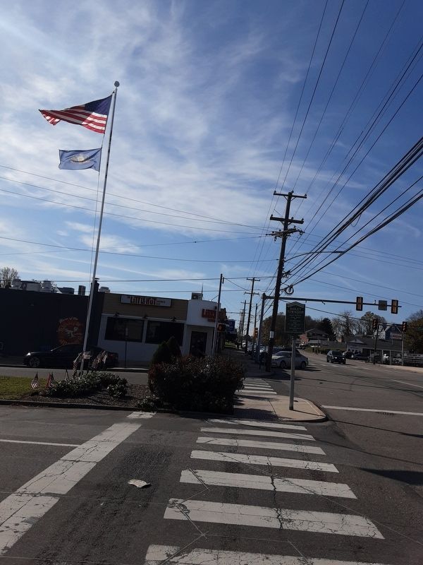
2. Ridley Township Marker
Rodney Road comes in from left; view is along southbound US 13.
Credits. This page was last revised on November 5, 2020. It was originally submitted on November 3, 2020, by Carl Gordon Moore Jr. of North East, Maryland. This page has been viewed 614 times since then and 51 times this year. Photos: 1, 2. submitted on November 3, 2020, by Carl Gordon Moore Jr. of North East, Maryland. • Bill Pfingsten was the editor who published this page.
