Death Valley National Park in Inyo County, California — The American West (Pacific Coastal)
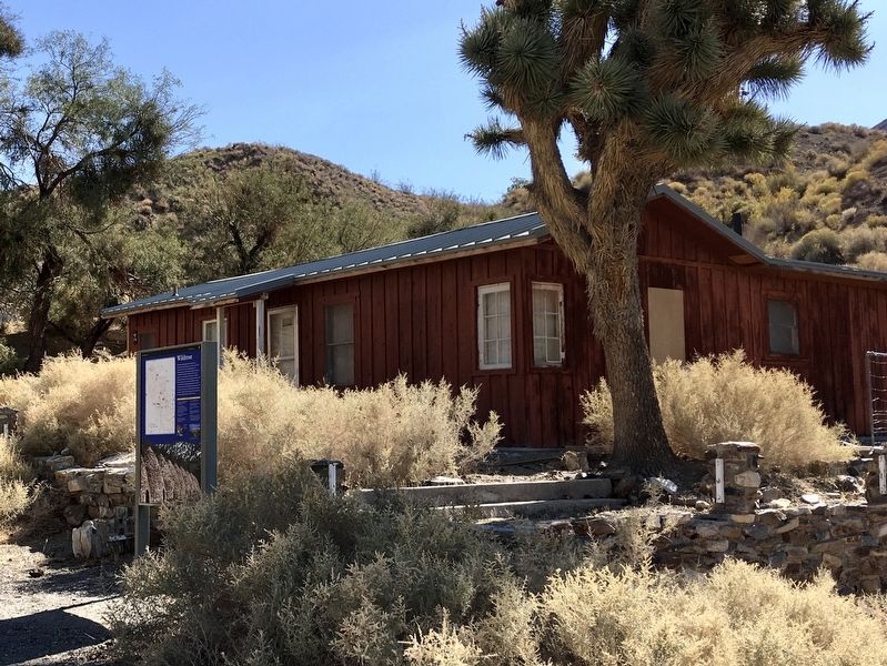
Wildrose CCC Camp
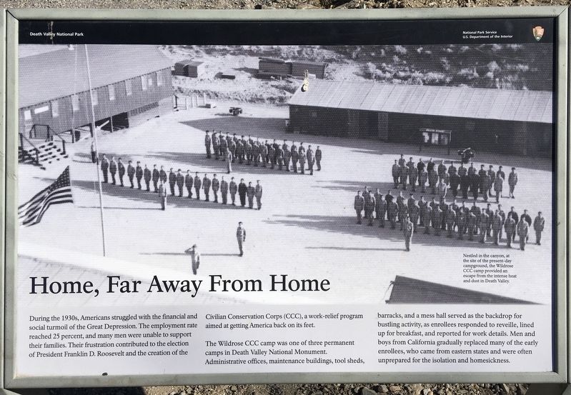
Home, Far Away From Home
During the 1930s, Americans struggled with the financial and social turmoil of the Great Depression. The employment rate reached 25 percent, and many men were unable to support their families. Their frustration contributed to the election of President Franklin D. Roosevelt and the creation of the Civilian Conservation Corps (CCC), a work-relief program aimed at getting America back on its feet.
The Wildrose CCC camp was one of three permanent camps in Death Valley National Monument. Administrative offices, maintenance buildings, tool sheds, barracks, and a mess hall served as the backdrop for bustling activity, as enrollees responded to reveille, lined up for breakfast, and reported for work details. Men and boys from California gradually replaced many of the early enrollees, who came from eastern states and were often unprepared for the isolation and homesickness.
Nestled in the canyon, at the site of the present-day campground, the Wildrose CCC camp provided an escape from the intense heat and dust in Death Valley.
Erected by National Park Service.
Topics and series. This historical marker is listed in these topic lists: Industry & Commerce • Parks & Recreational Areas . In addition, it is included in the Civilian Conservation Corps (CCC) series list.
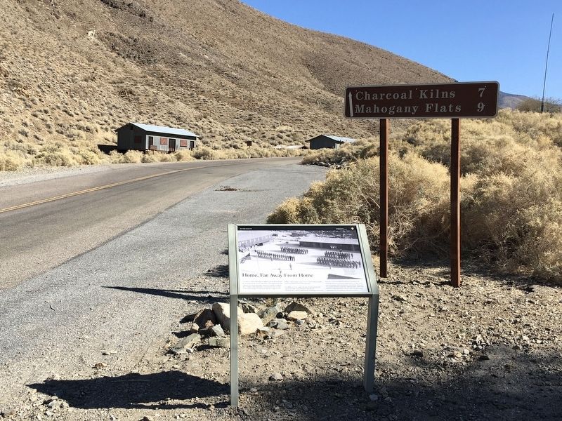
Location. 36° 15.91′ N, 117° 11.146′ W. Marker is in Death Valley National Park, California, in Inyo County. Marker is on Charcoal Kiln Road, 0.4 miles east of Emigrant Canyon Road, on the right when traveling east. Touch for map. Marker is in this post office area: Death Valley CA 92328, United States of America. Touch for directions.
Other nearby markers. At least 8 other markers are within 12 miles of this marker, measured as the crow flies. Skidoo Pipeline (approx. 3.2 miles away); Wildrose Charcoal Kilns (approx. 6.3 miles away); Aguereberry Camp (approx. 8 miles away); The Eureka Mine (approx. 8 miles away); Aguereberry Point (approx. 10 miles away); Journigan’s Mill (approx. 10.3 miles away); Skidoo Mill (approx. 12 miles away); Skidoo (approx. 12 miles away). Touch for a list and map of all markers in Death Valley National Park.
Credits. This page was last revised on August 20, 2023. It was originally submitted on November 5, 2020, by Craig Baker of Sylmar, California. This page has been viewed 274 times since then and 35 times this year. Photos: 1, 2, 3, 4. submitted on November 5, 2020, by Craig Baker of Sylmar, California. • J. Makali Bruton was the editor who published this page.


