The Fort in Forty Fort
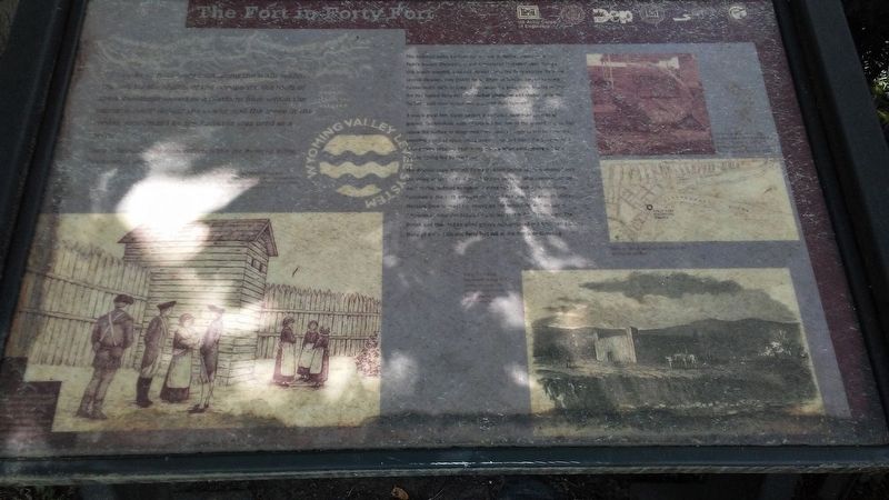
"Barracks or huts were built along the walls within the fort for the shelter of the occupants: the roofs of these buildings served as a platform from which the garrison could defend the works; and the space in the center surrounded by the barracks was used as a [parade?]."
Sheldon Reynolds,
The Frontier Forts Within the Wyoming Valley, Pennsylvania, 1896.
The beautiful valley beckons all who see it. Native Americans, William Penn's settlers (Pennamites) and Connecticut "Yankees" each claimed this largely wooded, untamed frontier along the Susquehanna River for several decades, they fought for it. When 40 families arrived to stake Connecticut's claim in 1769, a fort seemed a good idea. Erected in 1770, the fort named Forty Fort, it provided protection and shelter while the Yankees built their homes and prepared their farmland.
It was a great fort. Some believe it enclosed more than an acre of ground. Double-thick walls of logs sat five feet in the ground and 12 feet above the surface to sharpened tops. Sentry towers at the four corners provided views of approaching enemies up and down the Susquehanna. A long siege required fresh water so a sunken passageway led to a nearby spring fed by the river.
The Revolutionary War left its mark. When British soldiers marched into the Valley in
June 1778, Colonel Nathan Denison, who commanded the local militia, ordered everyone into the fort to await reinforcements. Fortunately, the 1777 enlargement of the fort provided enough shelter. Pressure grew to meet the enemy on the battlefield and on July 3, American commander Zebulon Butler led that ill-fated campaign. The British and their Indian allies grossly outnumbered the American patriots. Many of the militia and Forty Fort fell at the Battle of Wyoming.
[Illustrations, clockwise from top right, read]
• Historical marker on the approximate site where Forty Fort once stood, installed by the Daughters of the American Revolution, 1900.
• Map showing location of Forty Fort historical marker.
• Forty Fort as it appeared in the 1770s.
• The local militia and settlers taking refuge in the fort after the British invaded the Wyoming Valley, June 1778.
Erected by Delaware & Lehigh National Heritage Corridor and Others.
Topics. This historical marker is listed in these topic lists: Disasters • Forts and Castles • Settlements & Settlers • War, US Revolutionary. A significant historical year for this entry is 1896.
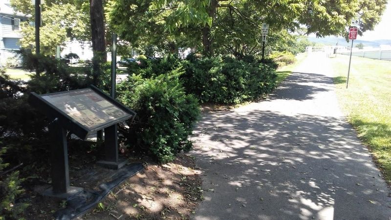
Location. 41° 16.749′ N, 75° 52.327′ W. Marker is in Forty Fort, Pennsylvania, in Luzerne County. Marker is on River Street
Other nearby markers. At least 8 other markers are within walking distance of this marker. What on Earth is a Levee? (a few steps from this marker); Trailing Along (a few steps from this marker); Welcome to the First Residents' Path (a few steps from this marker); Forty-Fort (within shouting distance of this marker); Forty Fort Meeting House (approx. 0.4 miles away); Wyoming Seminary Presidents' Lost Graves Memorial (approx. 0.4 miles away); James Bird (approx. 0.4 miles away); War Memorial (approx. 0.4 miles away). Touch for a list and map of all markers in Forty Fort.
More about this marker. The marker is deteriorated and difficult to read.
Also see . . .
1. The Battle of Wyoming Valley. (Submitted on November 5, 2020, by William Fischer, Jr. of Scranton, Pennsylvania.)
2. Neighbor vs. Neighbor in the Wyoming Valley. (Submitted on November 5, 2020, by William Fischer, Jr. of Scranton, Pennsylvania.)
Credits. This page was last revised on November 5, 2020. It was originally submitted on November 5, 2020, by William Fischer, Jr. of Scranton, Pennsylvania. This page has been viewed 470 times since then and 87 times this year. Photos: 1, 2. submitted on November 5, 2020, by William Fischer, Jr. of Scranton, Pennsylvania.

