Smithland in Livingston County, Kentucky — The American South (East South Central)
Livingston County Courthouse
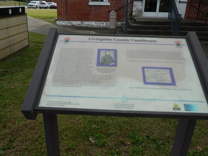
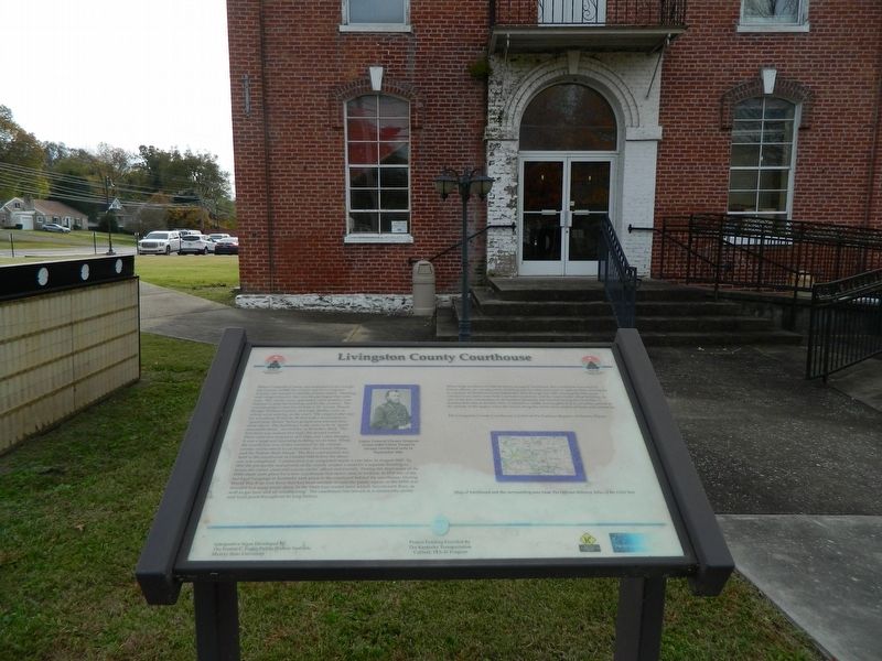
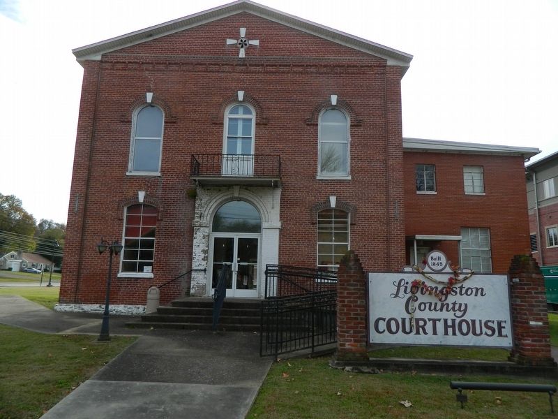
When Crittenden County was separated from Livingston County in 1842 the county seat for Livingston County was moved to Smithland from Salem. Planning and construction for this courthouse began that same year. The county court appointed a five member commission to plan the building and let the contract. The commissioners were David Fort, L. W. Alcorn, Blount Hodge, William Gordon, and Isaac Shelby, none of whom were serving on the court. The original plan was for a building 50 feet by 40 feet with a foundation of "good large stones" below ground and dressed limestone above. The building's walls were to be of "good mercantile brick," two bricks, or 18 inches, thick. The first floor was sixteen feet high, the second twelve. There were five fireplaces and flues and cedar shingles. It was a large and imposing building for its time. While the courthouse was under construction the various county courts met in local churches, the Gower House, and the Dallum Bush House. The first court session was held in the courthouse in October 1844 before the structure was completed. Construction was completed nearly a year later in August 1845. By 1852 the prosperity and growth of the county created a need for a separate building to house the circuit court and the county clerks' offices and records. During the depression of the 1930's there were plans for a new courthouse that never came to fruition. In 1935 one of the last legal hangings in Kentucky took place in the courtyard behind the courthouse. During World War II an iron fence that had been erected around the public square in the 1850's was donated to a scrap metal drive. In the 1960's four rooms were added, two on each floor, as well as gas heat and air conditioning. The courthouse has served as a community center and a focal point throughout its long history.
(right side of marker)
When large numbers of Federal forces occupied Smithland, the courthouse was used by Union officers as a headquarters building and for other purposes at various times during the occupation of Smithland from September 1861 to July 1865. During the War years various local courts were held in private residences and the court clerks' office building. As one of the few courthouses in far western Kentucky not burned during the Civil War or destroyed by fire at another time, it remains a visible and tangible link to an earlier period in the history of the region when the towns along the rivers were the centers of trade and commerce.
The Livingston County Courthouse is listed on the National Register of Historic Places.
[Captions]
Union General Ulysses Simpson Grant order Union Troops to occupy
Smithland early in September 1861
Map of Smithland and the surrounding area from The Official Military Atlas of the Civil War.
Erected by Kentucky Transportation Cabinet and the Forrest C. Pogue Public History Institute, Murray State University. (Marker Number 15.)
Topics. This historical marker is listed in these topic lists: Architecture • War, US Civil. A significant historical month for this entry is October 1861.
Location. 37° 8.345′ N, 88° 24.228′ W. Marker is in Smithland, Kentucky, in Livingston County. Marker is on Court Street (Kentucky Route 453) 0.1 miles east of U.S. 60, on the right when traveling east. Touch for map. Marker is at or near this postal address: 351 Court Street, Smithland KY 42081, United States of America. Touch for directions.
Other nearby markers. At least 8 other markers are within 4 miles of this marker, measured as the crow flies. A Civil War Base (a few steps from this marker); County Named, 1798 (a few steps from this marker); Methodist Church (about 700 feet away, measured in a direct line); Dallam-Bush House (approx. 0.2 miles away); Federal Commissary Building (approx. 0.2 miles away); Confluence of the Cumberland and Ohio Rivers (approx. ¼ mile away); Ned Buntline / Gower House (approx. 0.3 miles away); Jefferson’s Sister (approx. 3.2 miles away). Touch for a list and map of all markers in Smithland.
Also see . . .
1. Livingston County Courthouse NHRP Application. (Submitted on November 5, 2020, by Thomas Onions of Olathe, Kansas.)
2. Livingston County Ky Government Page. (Submitted on November 5, 2020, by Thomas Onions of Olathe, Kansas.)
Credits. This page was last revised on January 7, 2021. It was originally submitted on November 5, 2020, by Thomas Onions of Olathe, Kansas. This page has been viewed 169 times since then and 19 times this year. Photos: 1, 2, 3. submitted on November 5, 2020, by Thomas Onions of Olathe, Kansas. • Bill Pfingsten was the editor who published this page.


