Smithland in Livingston County, Kentucky — The American South (East South Central)
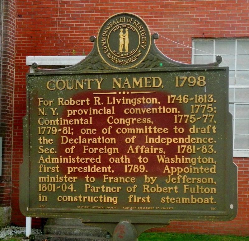
County Named, 1798
Erected 1965 by Kentucky Historical Society Kentucky Department of Highways. (Marker Number 801.)
Topics and series. This historical marker is listed in these topic lists: Government & Politics • Political Subdivisions • Waterways & Vessels. In addition, it is included in the Former U.S. Presidents: #01 George Washington, the Former U.S. Presidents: #03 Thomas Jefferson, and the Kentucky Historical Society series lists. A significant historical year for this entry is 1775.
Location. 37° 8.349′ N, 88° 24.24′ W. Marker is in Smithland, Kentucky, in Livingston County. Marker is on Court Street (State Highway 453) 0.1 miles east of Adair Street (U.S. 60), on the right when traveling east. Touch for map. Marker is at or near this postal address: 335 Court Street, Smithland KY 42081, United States of America. Touch for directions.
Other nearby markers. At least 8 other markers are within 4 miles of this marker, measured as the crow flies. A Civil War Base (here, next to this marker); Livingston County Courthouse (a few steps from this marker); Methodist Church (about 700 feet away, measured in a direct line); Dallam-Bush House (about 800 feet away); Federal Commissary Building (approx. 0.2 miles away); Confluence of the Cumberland and Ohio Rivers (approx. ¼ mile away); Ned Buntline / Gower House (approx. 0.3 miles away); Jefferson’s Sister (approx. 3.2 miles away). Touch for a list and map of all markers in Smithland.
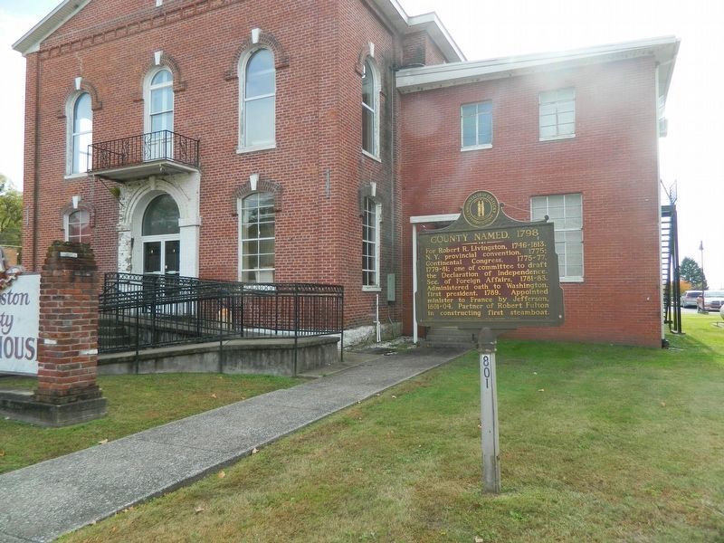
More about this marker. Located on the northwest grounds of the old Livingston County Courthouse
Also see . . .
1. Livingston County Ky Government Page. (Submitted on November 5, 2020, by Thomas Onions of Olathe, Kansas.)
2. Wikipedia entry on Robert Livingston. (Submitted on November 5, 2020, by Thomas Onions of Olathe, Kansas.)
Credits. This page was last revised on April 6, 2021. It was originally submitted on November 5, 2020, by Thomas Onions of Olathe, Kansas. This page has been viewed 152 times since then and 12 times this year. Photos: 1, 2. submitted on November 5, 2020, by Thomas Onions of Olathe, Kansas. • Devry Becker Jones was the editor who published this page.

