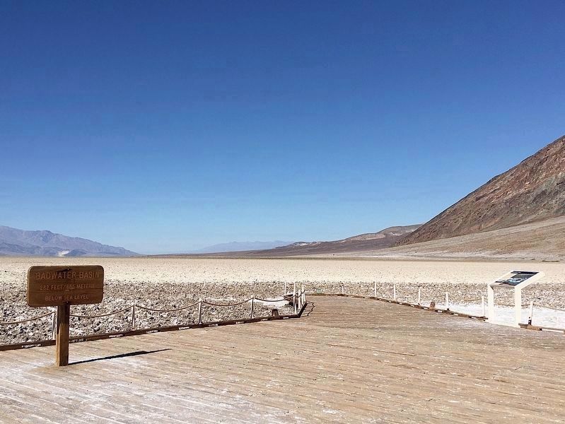
Death Valley National Park in Inyo County, California — The American West (Pacific Coastal)
Badwater Pool
Good Life in Badwater
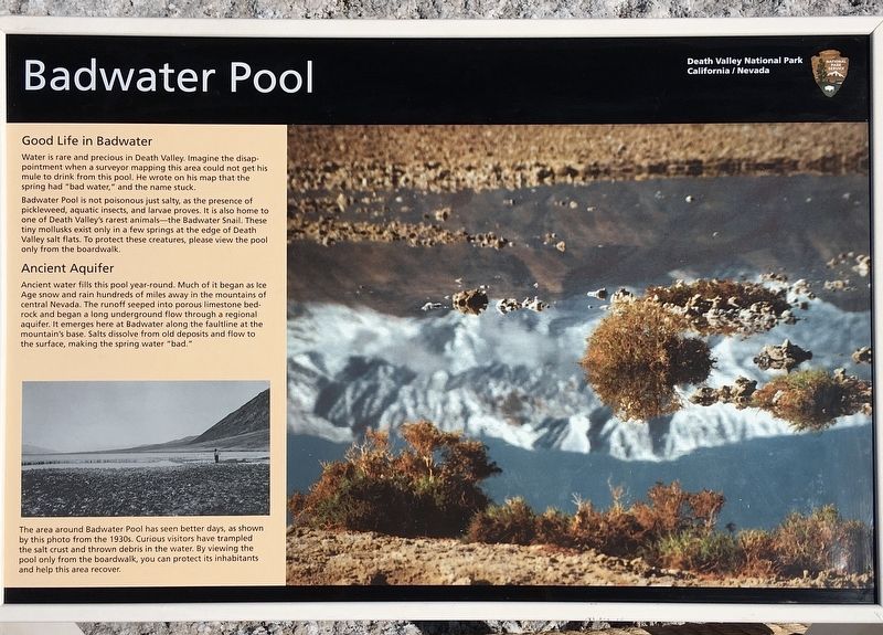
Water is rare and precious in Death Valley. Imagine the disappointment when a surveyor mapping this area could not get his mule to drink from this pool. He wrote on his map that the spring had "bad water," and the name stuck.
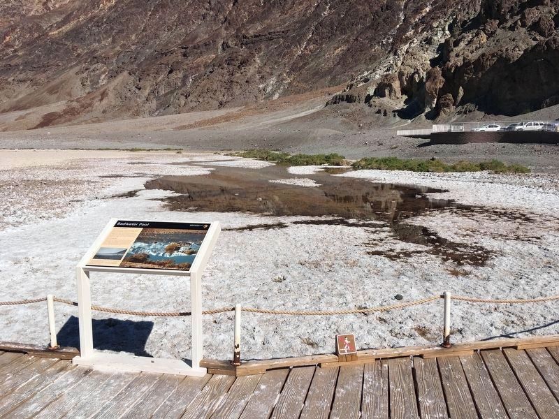
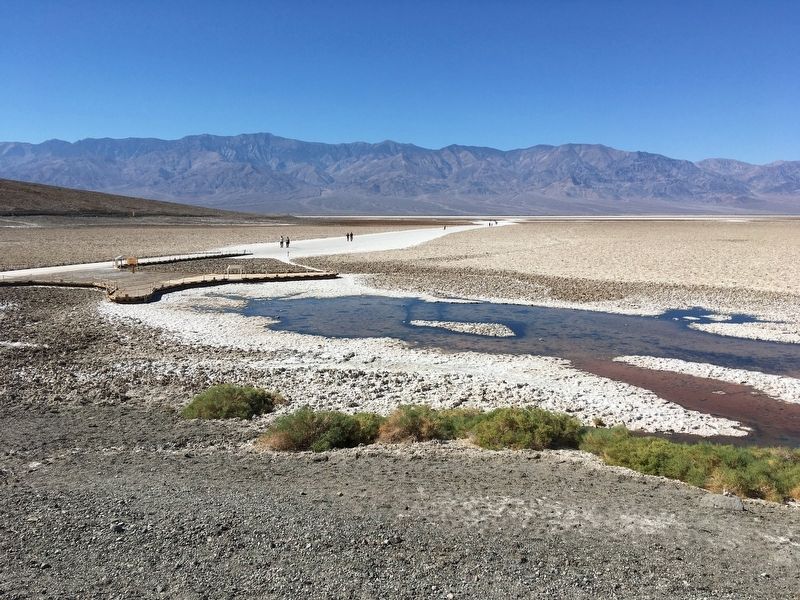
Badwater Pool is not poisonous just salty, as the presence of pickleweed, aquatic insects, and larvae proves. It is also home to one of Death Valley's rarest animals - the Badwater Snail. These tiny mollusks exist only in a few springs at the edge of Death Valley salt flats. To protect these creatures, please view the pool only from the boardwalk.
Ancient Aquifer
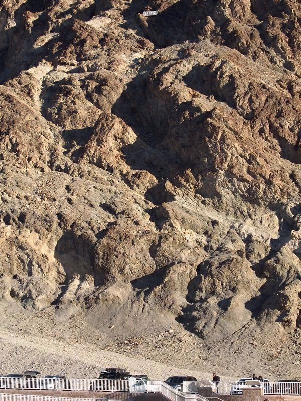
Ancient water fills this pool year-round. Much of it began as Ice Age snow and rain hundreds of miles away in the mountains of central Nevada. The runoff seeped into porous limestone bedrock and began a long underground flow through a regional aquifer. It emerges here at Badwater along the faultline at the mountain's base. Salts dissolve from old deposits and flow to the surface, making the spring water "bad."
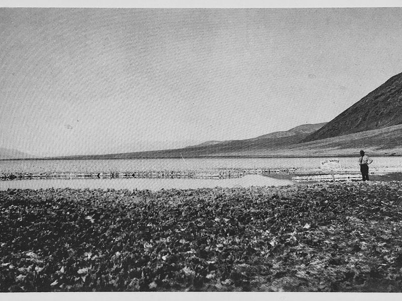
photo caption:
The area around Badwater Pool has seen better days, as shown by this photo from the 1930s. Curious visitors have trampled the salt crust and thrown debris in the water. By viewing the pool only from the boardwalk, you can protect its inhabitants and help this area recover.
Erected by National Park Service.
Topics. This historical marker is listed in these topic lists: Exploration • Natural Resources • Notable Places • Parks & Recreational Areas.
Location. 36° 13.801′ N, 116° 46.064′ W. Marker is in Death Valley National Park, California, in Inyo County. Marker is on Badwater Road, 17 miles south of California Route 190, on the right when traveling south. Touch for map. Marker is in this post office area: Death Valley CA 92328, United States of America. Touch for directions.
Other nearby markers. At least 6 other markers are within 14 miles of this marker, measured as the crow flies. Shorty Harris Grave (approx. 5.9 miles away); Eagle Borax Works (approx. 5.9 miles away); Bennett-Arcan Long Camp (approx. 7 miles away); Devils Golf Course (approx. 8½ miles away); Zabriskie Point (approx. 13.4 miles away); Golden Canyon Trail (approx. 13.9 miles away).
Regarding Badwater Pool. Badwater was thought to be the lowest point in the Western Hemisphere, until the recent discovery of Laguna del Carbón in Argentina at −344 ft.
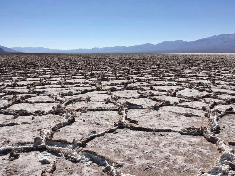
Photographed By Craig Baker (CC0), October 28, 2020
6. Salt Polygons
½-mile to the west, salt crystals form geometric patterns.
Credits. This page was last revised on January 21, 2023. It was originally submitted on November 7, 2020, by Craig Baker of Sylmar, California. This page has been viewed 582 times since then and 102 times this year. Photos: 1, 2, 3, 4, 5, 6. submitted on November 7, 2020, by Craig Baker of Sylmar, California. 7. submitted on December 25, 2022, by Craig Baker of Sylmar, California. • J. Makali Bruton was the editor who published this page.
