Strasburg in Shenandoah County, Virginia — The American South (Mid-Atlantic)
Hupp Cave
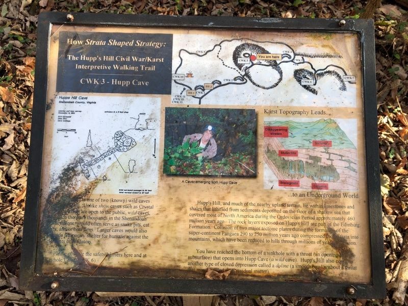
How Strata Shaped Strategy: The Hupp's Hill Civil War/Karst Interpretive Walking Trail
Hupp Cave is one of two (known) wild Caves on Hupp's Hill. Unlike show caves such as Crystal Caverns which are open to the public, wild caves, of which there are thousands in the Shenandoah Valley alone, would often serve as snake pits, cat lairs, and/or bear dens. Larger caves would also provide temporary shelter for humans against the elements or predators.
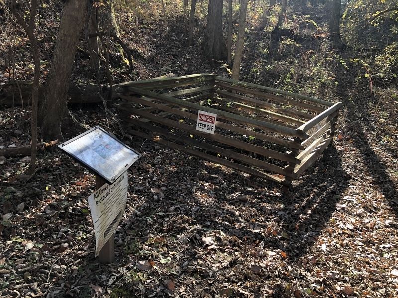
Please observe the safety barriers here and at Keyhole Cave (CWK 6).
Hupp's Hill, and much of the nearby upland terrain, lie within limestones and shales that lithified from sediments posited on the floor of a shallow sea that covered most of North America during the Ordovician Period approximately 460 million years ago. The rock layers exposed on Hupp's Hill are part of the Edinburg Formation. Collision of two major tectonic plates during the formation of the super-continent Pangaea 290 to 250 million years ago compressed the strata into mountains, which have been reduced to hills through millions of years of erosion.
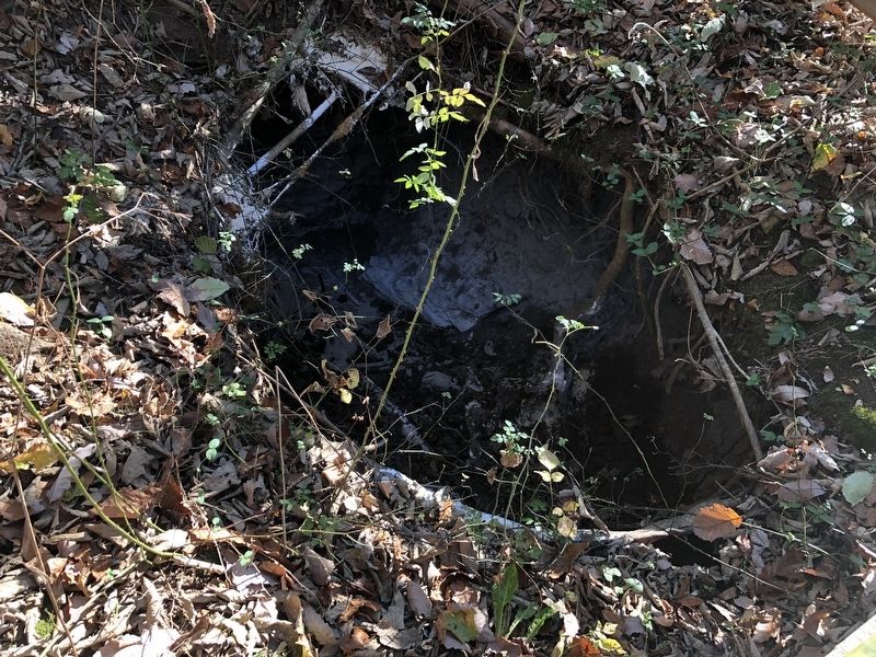
You have reached the bottom of a sinkhole with a throat (an opening in the subsurface) that opens into Hupp Cave (a wild cave). Hupp's Hill also contains another type of closed depression called a doline (a smooth bawl without a throat that may be filled with residual matter).
Erected by Cedar Creek Battlefield Foundation. (Marker Number CWK 3.)
Topics and series. This historical marker is listed in these topic lists: Animals • Natural Features. In addition, it is included in the Virginia, Strasburg, How Strata Shaped Strategy: The Hupp's Hill Civil War/Karst Interpretive Walking Trail series list.
Location. 39° 0.034′ N, 78° 21.027′ W. Marker is in Strasburg, Virginia, in Shenandoah County. Marker can be reached from Old Valley Pike (U.S. 11) 0.2 miles west of Signal Knob Drive, on the right when traveling west. Touch for map. Marker is at or near this postal address: 33229 Old Valley Pike, Strasburg VA 22657, United States of America. Touch for directions.
Other nearby markers. At least 8 other markers are within walking distance of this marker. Lunette (within shouting distance of this marker); A Natural Bombproof (within shouting distance of this marker); Winter Quarters (within shouting distance of this marker); Keyhole Cave (within shouting distance of this marker); Strasburg (within shouting distance of this marker); Field Fortifications (within shouting distance of this marker); Trail Head (within shouting distance of this marker); The Shenandoah Valley / Battle of Cedar Creek, October 19, 1864 (within shouting distance of this marker). Touch for a list and map of all markers in Strasburg.
Regarding Hupp Cave. While
Credits. This page was last revised on November 10, 2020. It was originally submitted on November 7, 2020, by Devry Becker Jones of Washington, District of Columbia. This page has been viewed 162 times since then and 24 times this year. Photos: 1, 2, 3. submitted on November 7, 2020, by Devry Becker Jones of Washington, District of Columbia.


