Hilton Head Island in Beaufort County, South Carolina — The American South (South Atlantic)
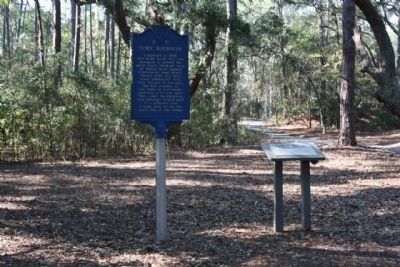
Fort Sherman
Erected 1961 by Hilton Head Island Historical Society. (Marker Number 7-8.)
Topics. This historical marker is listed in this topic list: War, US Civil. A significant historical year for this entry is 1862.
Location. 32° 13.336′ N, 80° 40.743′ W. Marker is on Hilton Head Island, South Carolina, in Beaufort County. Marker is on Sherman Drive, on the left when traveling west. Between Coggins Pt. Rd & Sherman Pl. in Port Royal Plantation -Secure Gated Community- Restricted entrance. Touch for map. Marker is in this post office area: Hilton Head Island SC 29928, United States of America. Touch for directions.
Other nearby markers. At least 8 other markers are within one mile of this marker, measured as the crow flies. History Of The Dolphin Head Area (approx. 0.6 miles away); "Robbers Row" (approx. 0.7 miles away); Fort Walker (approx. ¾ mile away); Hilton Head (approx. 0.9 miles away); Battle of Port Royal (approx. 0.9 miles away); Two Gallant Gentlemen from South Carolina (approx. 0.9 miles away); Steam Gun (approx. 0.9 miles away); The Dawn of Freedom: Mitchelville (approx. 1.1 miles away). Touch for a list and map of all markers in Hilton Head Island.
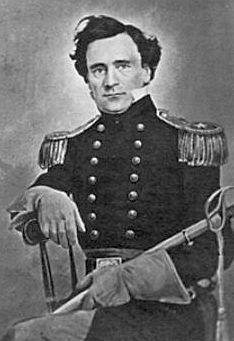
Also see . . . Thomas W. Sherman. Sherman, known to his friends as "Tim," (Submitted on February 8, 2009, by Mike Stroud of Bluffton, South Carolina.)
Photographed By Mike Stroud, February 2009
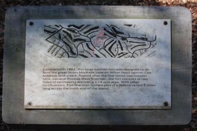
3. Fort Sherman Marker, named after the other General Sherman
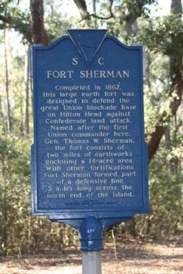
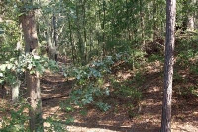
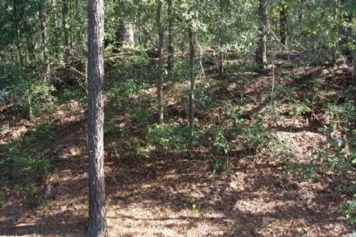
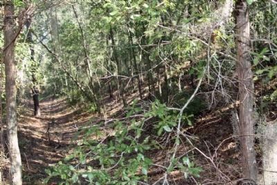
Completed in 1862, this large earth fort
was designed to defend the great Union
blockade base on Hilton Head against
Confederate land attack. Named after
the first Union commander here, Gen.
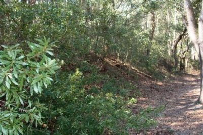
Thomas West Sherman, the fort consists
of two miles of earthworks enclosing
a 14-acre area. With other fortications
Fort Sherman formed part of a
defensive line 5 miles long across the
north end of the island.
Fort outlined in red , amid Port Royal Plantation- a Gated Community- with Restricted entrance. No parking places.
Fort outlined in red , amid Port Royal Plantation- a Gated Community- with Restricted entrance. No parking places.
Credits. This page was last revised on June 16, 2016. It was originally submitted on February 8, 2009, by Mike Stroud of Bluffton, South Carolina. This page has been viewed 3,899 times since then and 378 times this year. Photos: 1, 2, 3, 4, 5, 6, 7, 8, 9. submitted on February 8, 2009, by Mike Stroud of Bluffton, South Carolina. • Craig Swain was the editor who published this page.
