Near Kearneysville in Jefferson County, West Virginia — The American South (Appalachia)
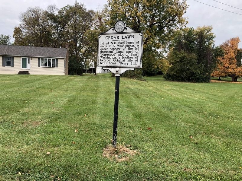
Cedar Lawn
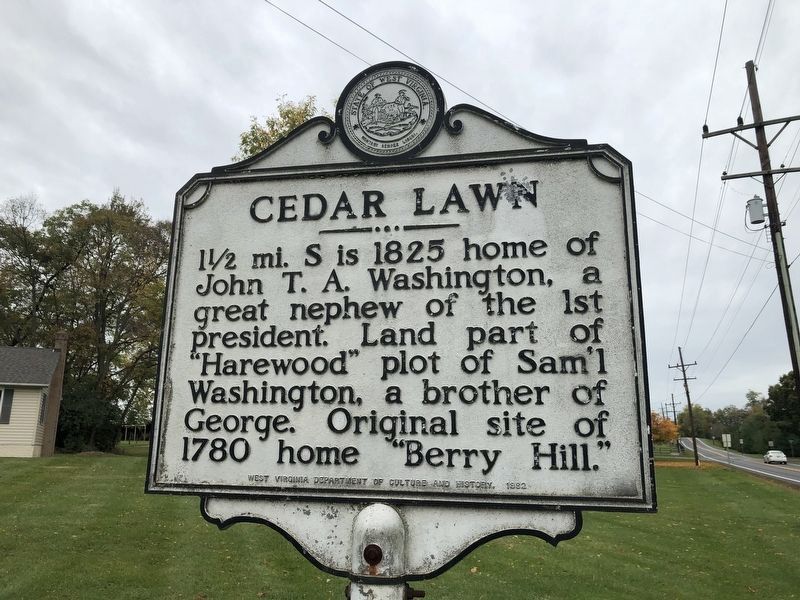
Erected 1982 by West Virginia Department of Culture and History.
Topics and series. This historical marker is listed in this topic list: Settlements & Settlers. In addition, it is included in the West Virginia Archives and History series list. A significant historical year for this entry is 1825.
Location. 39° 18.232′ N, 77° 55.371′ W. Marker is near Kearneysville, West Virginia, in Jefferson County. It is at the intersection of Middleway Pike (West Virginia Route 51) and Earle Road on Middleway Pike. Touch for map. Marker is at or near this postal address: 8168 Middleway Pike, Charles Town WV 25414, United States of America. Touch for directions.

Regionally, this marker is in the Washington Metropolitan Area and in the Eastern Panhandle. It is also in the American South, specifically in the Upper South, in Appalachia, and specifically in Northern Appalachia. Globally, it is in North America, the Western Hemisphere,
this page online
Other nearby markers. At least 8 other markers are within 3 miles of this marker, measured as the crow flies: Cameron's Depot (a few steps from this marker); Harewood (approx. 0.3 miles away); "Locust Hill" (approx. ¾ mile away); Richwood Hall (approx. 0.8 miles away); Eugenia Washington (approx. one mile away); a different marker also named Locust Hill (approx. 1.2 miles away); Johnsontown (approx. 3.1 miles away); "Prato Rio" (approx. 3.1 miles away). Touch for a list and map of all markers in Kearneysville.
Other markers no longer nearby. Cameron's Depot Engagement (was approx. 1.2 miles away but has been confirmed missing); Ruins of St. George’s Chapel (was approx. 1.8 miles away but has been confirmed missing).
Also see . . . The Washingtons of Jefferson County. By John Augustine Washington, family historian. (Submitted on July 29, 2007, by J. J. Prats of Powell, Ohio.)
Photographed by Bradley Owen, October 17, 2020
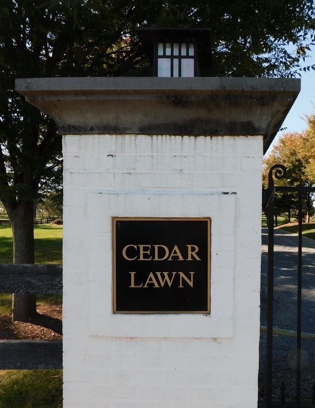
3. Cedar Lawn Title On Pillar At Driveway Entrance
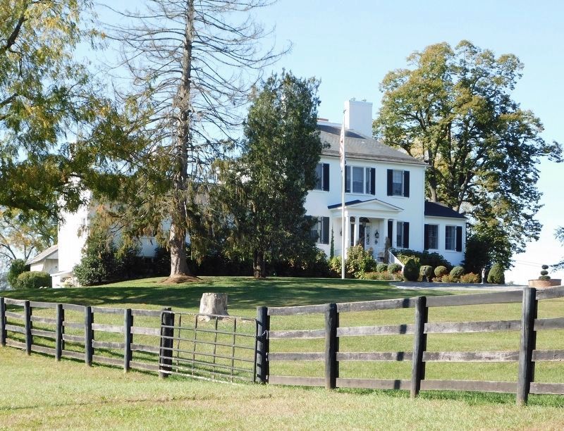
Photographed by Bradley Owen, October 17, 2020
4. Cedar Lawn
Credits. This page was last revised on January 21, 2022. It was originally submitted on July 29, 2007, by Tom Fuchs of Greenbelt, Maryland. This page has been viewed 2,684 times since then and 35 times this year. Last updated on November 7, 2020, by Bradley Owen of Morgantown, West Virginia. Photos: 1, 2. submitted on October 11, 2020, by Devry Becker Jones of Washington, District of Columbia. 3. submitted on November 6, 2020, by Bradley Owen of Morgantown, West Virginia. 4. submitted on November 7, 2020, by Bradley Owen of Morgantown, West Virginia. • Devry Becker Jones was the editor who published this page.
