Cross Keys in Rockingham County, Virginia — The American South (Mid-Atlantic)
Battle of Cross Keys
Slaughter of the 8th New York Infantry
— 1862 Valley Campaign —
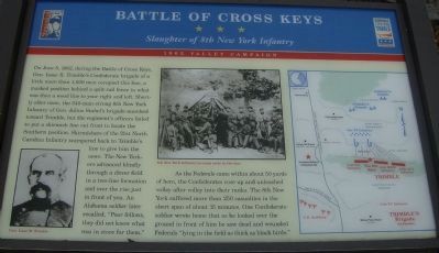
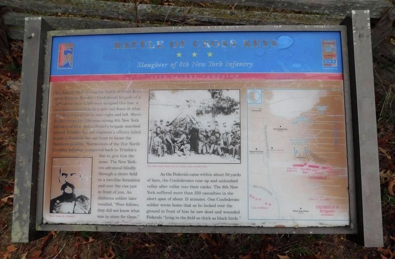
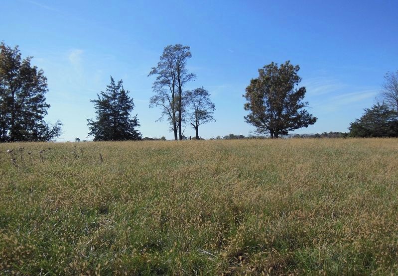
As the Federals came within about 50 yards of here, the Confederates rose up and unleashed volley after volley into their ranks. The 8th New York suffered more than 250 casualties in the short span of 15 minutes. One Confederate soldier wrote home that as he looked over the ground in front of him he saw dead and wounded Federals “lying in the field as thick as black birds.”
Erected 2003 by Shenandoah Valley Battlefields Foundation & Virginia Civil War Trails.
Topics and series. This historical marker is listed in this topic list: War, US Civil. In addition, it is included in the Virginia Civil War Trails series list. A significant historical date for this entry is June 8, 1862.
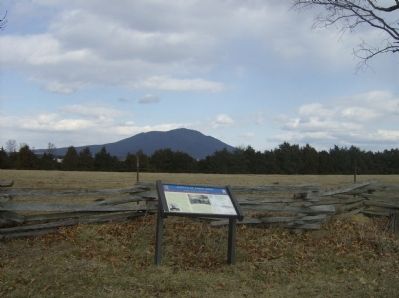
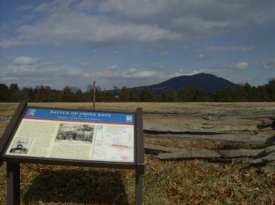
Location. 38° 20.995′ N, 78° 49.533′ W. Marker is in Cross Keys, Virginia, in Rockingham County. Marker can be reached from Port Republic Road (Route 659), on the right when traveling south. The marker cannot be seen from the road. From the Carrington Williams Interpretive Site, one has to walk across Port Republic Road and walk approximately 100 yards to reach the marker, which is located on the right hand side of the wire fence, behind a small section of split rail fencing. Touch for map. Marker is in this post office area: Harrisonburg VA 22801, United States of America. Touch for directions.
Other nearby markers. At least 8 other markers are within walking distance of this marker. Cross Keys Battlefield (about 400 feet away, measured in a direct line); a different marker also named Battle of Cross Keys (approx. half a mile away); a different marker also named Battle of Cross Keys (approx. half a mile away); a different marker also named Battle of Cross Keys (approx. half a mile away); To the Talbot Boys (approx. 0.6 miles away); a different marker also named Battle of Cross Keys (approx. 0.6 miles away); Mill Creek Church and Cemetery
(approx. 0.9 miles away); Mill Creek Church (approx. 0.9 miles away). Touch for a list and map of all markers in Cross Keys.
More about this marker. On the lower left is a portrait of General Trimble. In the upper center is a photo of the 8th New York Infantry in camp early in the war. On the right is a map showing the tactical situation around noon of the day of the battle.
Credits. This page was last revised on October 18, 2023. It was originally submitted on February 17, 2009, by Robert H. Moore, II of Winchester, Virginia. This page has been viewed 3,157 times since then and 80 times this year. Last updated on November 9, 2020, by Bradley Owen of Morgantown, West Virginia. Photos: 1. submitted on February 17, 2009, by Robert H. Moore, II of Winchester, Virginia. 2. submitted on October 18, 2023, by Bradley Owen of Morgantown, West Virginia. 3, 4. submitted on February 17, 2009, by Robert H. Moore, II of Winchester, Virginia. 5. submitted on January 3, 2021, by Bradley Owen of Morgantown, West Virginia. • Bernard Fisher was the editor who published this page.
