Union in Union County, South Carolina — The American South (South Atlantic)
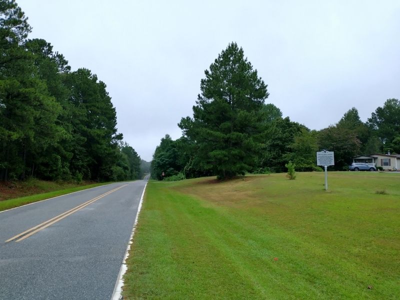
Poplar Grove School
Poplar Grove School opened in 1927 as a four-classroom school for African American students in Union Co. An extra classroom was added in 1941. In the mid-1960s the original four classrooms were removed and the remaining large classroom was made into a private residence. As of 2018, the remaining portion of the building is the last of the Rosenwald-era African American Schools in Union Co.
Erected 2018 by South Carolina Humanities Council and Poplar Grove Alumni. (Marker Number 44-19.)
Topics and series. This historical marker is listed in these topic lists: African Americans • Education. In addition, it is included in the Rosenwald Schools series list. A significant historical year for this entry is 1927.
Location. 34° 37.912′ N, 81° 32.391′ W. Marker is in Union, South Carolina , in Union County. Marker is at the intersection of Tinker Creek Road and Mattie Drive, on the right when traveling east on Tinker Creek Road. Touch for map. Marker is in this post office area: Union SC 29379, United States of America. Touch for directions.
Other nearby markers. At least 8 other markers are within 7 miles of this marker, measured as the crow flies. Otterson's Fort (approx. 4 miles away); Union Memorial Gardens Veterans Monument (approx. 5.9 miles away); Sims High School (approx. 6.2 miles away); Cemetery of Union Church (approx. 6.7 miles away); Site of Union Church, 1783-1819 (approx. 6.8 miles away); a different marker also named Sims High School (approx. 6.8 miles away); Episcopal Church Of The Nativity (approx. 7.1 miles away); Colonel William Farr (approx. 7.1 miles away). Touch for a list and map of all markers in Union.
Credits. This page was last revised on January 25, 2021. It was originally submitted on November 9, 2020, by Tom Bosse of Jefferson City, Tennessee. This page has been viewed 204 times since then and 33 times this year. Photos: 1, 2, 3. submitted on November 9, 2020, by Tom Bosse of Jefferson City, Tennessee. • Bernard Fisher was the editor who published this page.


