Wyandotte in Butte County, California — The American West (Pacific Coastal)
Dunstone Memorial Hall
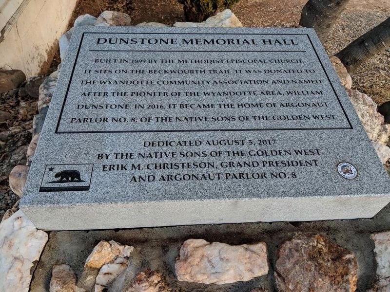
1. Dunstone Memorial Hall Marker
Erected 2017 by Native Sons of the Golden West. (Marker Number 141-04.)
Topics and series. This historical marker is listed in these topic lists: Fraternal or Sororal Organizations • Religion & Religious Structures. In addition, it is included in the Beckwourth Trail, and the Native Sons/Daughters of the Golden West series lists. A significant historical year for this entry is 1899.
Location. 39° 27.556′ N, 121° 27.877′ W. Marker is in Wyandotte, California, in Butte County. It is on Foothill Boulevard 0.2 miles Dunstone Drive, on the right when traveling south. Touch for map. Marker is at or near this postal address: 4790 Foothill Boulevard, Oroville CA 95965, United States of America. Touch for directions.

Regionally, this marker is in the Sacramento Valley and specifically in the Central Valley. It is also on the
this page online
Other nearby markers. At least 8 other markers are within 6 miles of this marker, measured as the crow flies: Braselton Home Site (approx. 2.8 miles away); Northern California's Oldest Citrus Tree (approx. 4.2 miles away); Mother Orange Tree of Butte County (approx. 4.2 miles away); The Last Yahi Indian (approx. 4.8 miles away); Autumn Harvest (approx. 5.2 miles away); Black Bart, the PO8 (approx. 5.3 miles away); Bidwell Bar Bridge and Tollhouse (approx. 5.4 miles away); Bidwell's Bar (approx. 5.4 miles away).
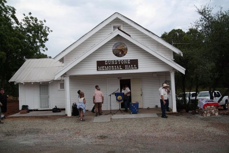
Photographed by James King, August 5, 2017
2. Dedication Day
The marker is under the California flag on the right.
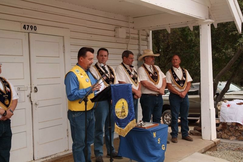
Photographed by James King, August 5, 2017
3. Dedication Team
Credits. This page was last revised on November 9, 2020. It was originally submitted on November 9, 2020, by James King of San Miguel, California. This page has been viewed 721 times since then and 70 times this year. Last updated on November 9, 2020, by James King of San Miguel, California. Photos: 1, 2, 3. submitted on November 9, 2020, by James King of San Miguel, California. • Syd Whittle was the editor who published this page.
