Camden in Kershaw County, South Carolina — The American South (South Atlantic)
The Price House
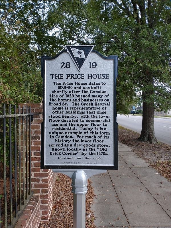
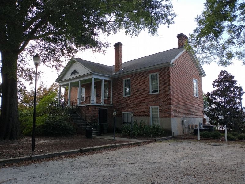
The Price House dates to 1829-30 and was built shortly after the Camden fire of 1829 burned many of the homes and businesses on Broad St. The Greek Revival home is representative of other buildings that once stood nearby, with the lower floor devoted to commercial use and the upper floor to residential. Today it is a unique example of this form in Camden. For much of its history the lower floor served as a dry goods store, known locally as the "Old Brick Corner" by the 1870s.
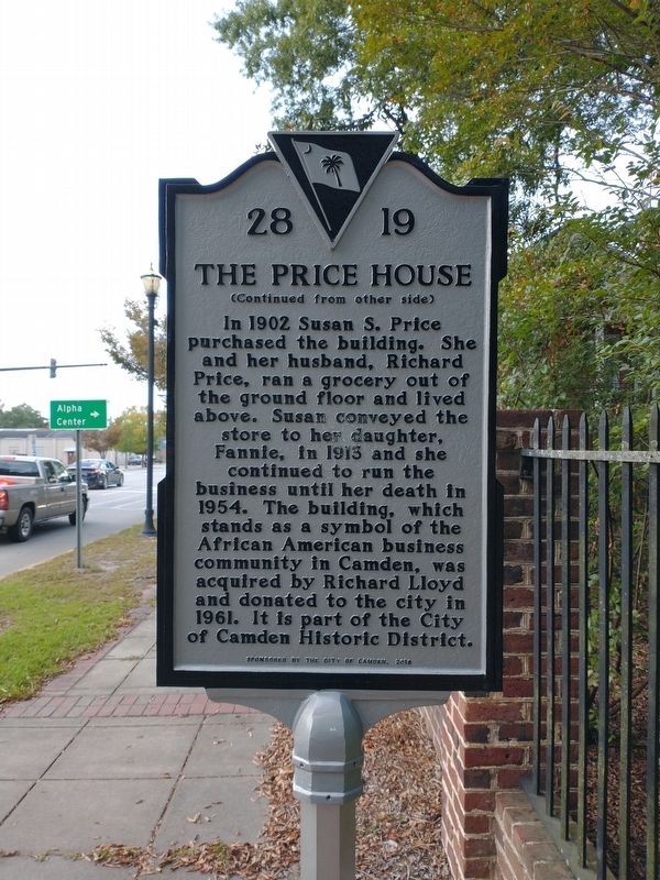
In 1902 Susan S. Price purchased the building. She and her husband, Richard Price, ran a grocery out of the ground floor and lived above. Susan conveyed the store to her daughter, Fannie, in 1913 and she continued to run the business until her death in 1954. The building, which stands as a symbol of the African American business community in Camden, was acquired by Richard Lloyd and donated to the city in 1961. It is part of the City of Camden Historic District.
Erected 2018 by City of Camden. (Marker Number 28-19.)
Topics. This historical marker is listed in these topic lists: African Americans • Architecture • Industry & Commerce • Women. A significant historical year for this entry is 1829.
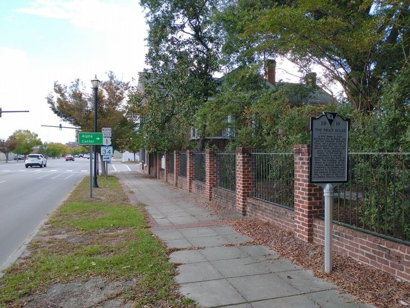
Location. 34° 14.45′ N, 80° 36.383′ W. Marker is in Camden, South Carolina, in Kershaw County. Marker is on Broad Street (U.S. 521) just south of York Street, on the right when traveling north. Touch for map. Marker is at or near this postal address: 722 Broad St, Camden SC 29020, United States of America. Touch for directions.
Other nearby markers. At least 8 other markers are within walking distance of this marker. Gaol (about 500 feet away, measured in a direct line); The Old Jail and Town Market (about 500 feet away); The Robert Mills Courthouse (about 600 feet away); Old Camden Courthouse and Gaol (about 700 feet away); Colonel Joseph Kershaw's Tomb (approx. ¼ mile away); King Haiglar Tower (approx. ¼ mile away); The First Town Square (approx. 0.3 miles away); Nothwest Redoubt (approx. 0.4 miles away). Touch for a list and map of all markers in Camden.
Credits. This page was last revised on November 10, 2020. It was originally submitted on November 10, 2020, by Tom Bosse of Jefferson City, Tennessee. This page has been viewed 336 times since then and 59 times this year. Photos: 1, 2, 3, 4. submitted on November 10, 2020, by Tom Bosse of Jefferson City, Tennessee. • Devry Becker Jones was the editor who published this page.


