West Pawlet in Rutland County, Vermont — The American Northeast (New England)
West Pawlet
Delaware & Hudson Rail Trail
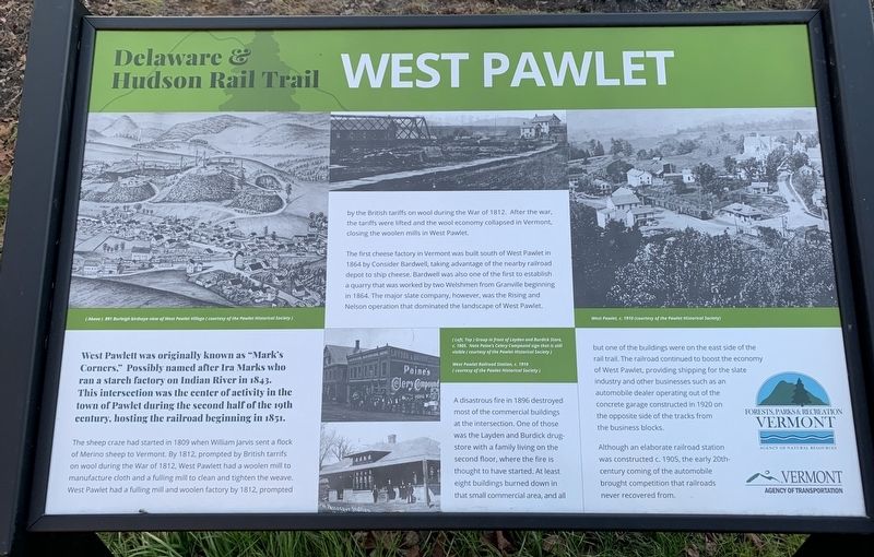
West Pawlett was originally known as “Mark's Corners.“ Possibly named after Ira Marks ran a starch factory on Indian River in 1843. This intersection was the center of activity in the town of Pawlet during the second half of the 19th century, hosting the railroad beginning in 1851.
The sheep craze had started in 1809 when William Jarvis sent a flock of Merino sheep to Vermont. By 1812, prompted by British tariffs on wool during the War of 1812, West Pawlett had a woolen mill to manufacture cloth and a fulling mill to clean and tighten the weave. West Pawlet had a fulling mill and woolen factory by 1812, prompted by the British tariffs on wool during the War of 1812. After the war, the tariffs were lifted and the wool economy collapsed in Vermont, closing the woolen mills in West Pawlet.
The first cheese factory in Vermont was built south of West Pawlet in 1864 by Consider Bardwell, taking advantage of the nearby depot to ship cheese. Bardwell was also one of the first to establish a quarry that was worked by two Welshmen from Granville beginning in 1864. The major slate company, was the Rising and Nelson operation that dominated the landscape of West Pawlet
A disastrous fire in 1896 destroyed most of the commercial buildings at the intersection. One of those was the Layden and Burdick building drugstore with a family livings on the second floor, where the fire is thought to have started. At least eight buildings burned down in that small commercial area, and all but one was on the east side of the rail trail. The railroad continued to boost the economy of West Pawlet, providing shipping for the slate industry and other businesses such as an automobile dealer operating out of the concrete garage constructed in 1920 on the opposite side of the tracks from the business blocks.
Although an elaborate railroad station was constructed c. 1905, the early 20th-century coming of the automobile brought competition that railroads never recovered from.
Photo Captions:
(Above Far Left ) 1891 Burleigh birdseye view of West Pawlet Village (courtesy of the Pawlet Historical Society)
(Center Top ) Group in front of Layden and Burdick Store, c. 1905. Note Paine's Celery Compound sign that is still visible ( courtesy of the Pawlet Historical Society)
(Center Bottom) West Pawlet Railroad Station, c. 1910 ( courtesy of the Pawlet Historical Society)
(Far Right) West Pawlet, c. 1910 (courtesy of the Pawlet Historical Society)
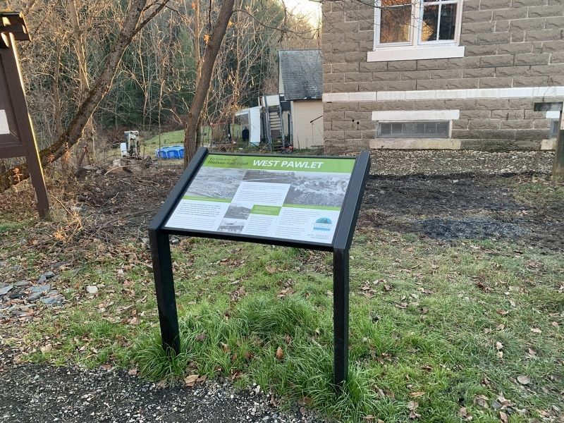
Erected by Forests, Parks & Recreation, Vermont Agency Of Natural Resources, Vermont Agency of Transportation.
Topics. This historical marker is listed in these topic lists: Disasters • Industry & Commerce • Railroads & Streetcars • Settlements & Settlers. A significant historical year for this entry is 1864.
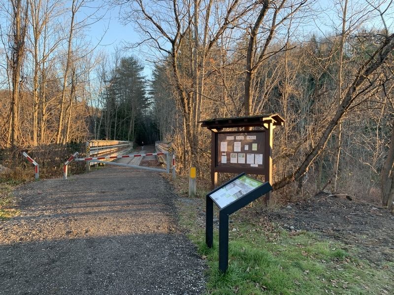
Location. 43° 21.188′ N, 73° 15.132′ W. Marker is in West Pawlet, Vermont, in Rutland County. Marker is at the intersection of Egg Street and County Route 29, on the left when traveling west on Egg Street. Touch for map. Marker is in this post office area: West Pawlet VT 05775, United States of America. Touch for directions.
Other nearby markers. At least 8 other markers are within 4 miles of this marker, measured as the crow flies. Honor Roll (within shouting distance of this marker); Braintree School (approx. 1.4 miles away); Erected 1789 (approx. 2.2 miles away in New York); Our Lady of Mt Carmel Roman Catholic Church (approx. 3˝ miles away in New York); Granville Veterans Memorial Park (approx. 3.6 miles away in New York); Global War on Terrorism Memorial (approx. 3.6 miles away in New York); World War Memorial (approx. 3.6 miles away in New York); Granville Revolutionary War Soldiers Memorial (approx. 3.6 miles away in New York). Touch for a list and map of all markers in West Pawlet.
Credits. This page was last revised on February 16, 2023. It was originally submitted on November 14, 2020, by Steve Stoessel of Niskayuna, New York. This page has been viewed 323 times since then and 48 times this year. Photos: 1, 2, 3. submitted on November 14, 2020, by Steve Stoessel of Niskayuna, New York. • Bill Pfingsten was the editor who published this page.


