Durango in La Plata County, Colorado — The American Mountains (Southwest)
Main St., Durango circa 1890
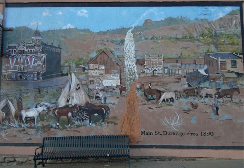
Photographed by William Fischer, Jr., October 14, 2020
1. Main St., Durango circa 1890 Mural
Topics. This historical marker is listed in this topic list: Settlements & Settlers.
Location. 37° 16.22′ N, 107° 52.918′ W. Marker is in Durango, Colorado, in La Plata County. It is at the intersection of Main Avenue and College Street, on the left when traveling north on Main Avenue. Touch for map. Marker is at or near this postal address: 601 Main Avenue, Durango CO 81301, United States of America. Touch for directions.

Regionally, this marker is in the American Mountain West and at the Four Corners. Globally, it is in North America, the Rocky Mountains, the Western Hemisphere, the Western World, and the Anglosphere.
Other nearby markers. At least 8 other markers are within walking distance of this marker: Rocky Mountain Chocolate Factory (within shouting distance of this marker); Bradshaw Circle (about 400 feet away, measured in a direct line); Durango - Silverton Narrow Gauge Railroad (about 500 feet away); Main Avenue/Strater Hotel circa 1891 (about 500 feet away); Trails to Rails (about 500 feet away); a different marker also named Trails to Rails
this page online
Regarding Main St., Durango circa 1890. The historic Strater Hotel is highlighted in the upper left of the mural.
Also see . . .
1. Strater Hotel History. Website entry (Submitted on November 16, 2020, by William Fischer, Jr. of Reynoldsburg, Ohio.)
2. Durango History. Website entry (Submitted on November 16, 2020, by William Fischer, Jr. of Reynoldsburg, Ohio.)
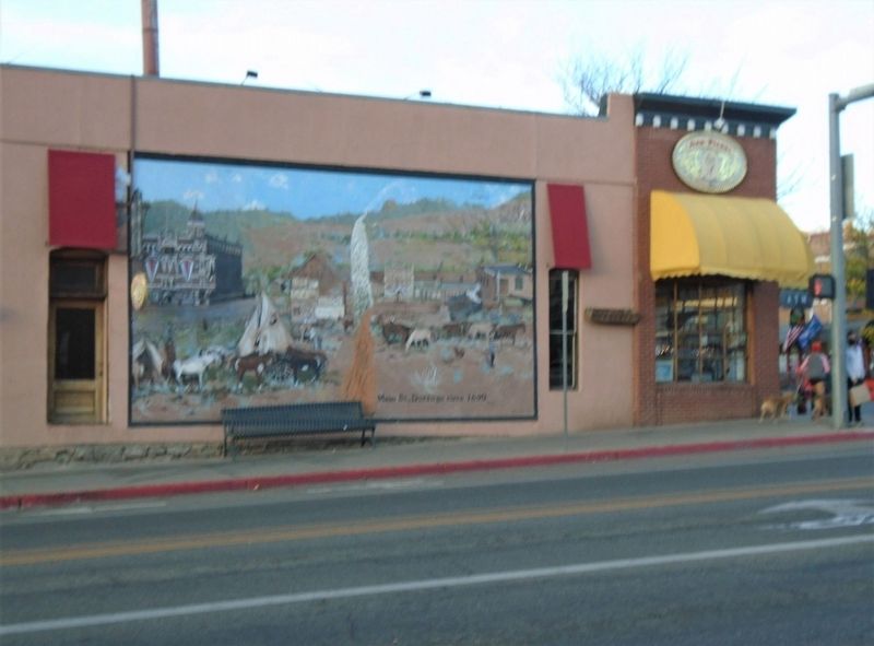
Photographed by William Fischer, Jr., October 14, 2020
2. Main St., Durango circa 1890 Mural

Photographed by William Fischer, Jr., October 14, 2020
3. Strater Hotel (699 Main Ave)
Credits. This page was last revised on May 13, 2024. It was originally submitted on November 16, 2020, by William Fischer, Jr. of Reynoldsburg, Ohio. This page has been viewed 855 times since then and 176 times this year. Photos: 1, 2, 3. submitted on November 16, 2020, by William Fischer, Jr. of Reynoldsburg, Ohio.
