Tilden in Antelope County, Nebraska — The American Midwest (Upper Plains)
Tilden, Nebraska
1880-1980
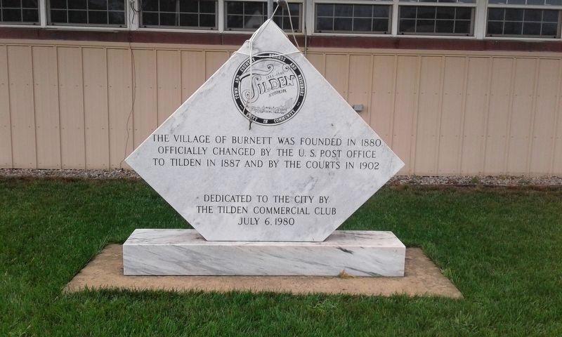
Photographed by Craig Doda, August 31, 2018
1. Tilden, Nebraska Marker
Erected 1980 by The Tilden Commercial Club.
Topics. This historical marker is listed in this topic list: Settlements & Settlers. A significant historical year for this entry is 1880.
Location. 42° 2.827′ N, 97° 50.106′ W. Marker is in Tilden, Nebraska, in Antelope County. It is on West 2nd Street just west of South Center Street (State Highway 45), on the right when traveling west. Touch for map. Marker is at or near this postal address: 104 W 2nd St, Tilden NE 68781, United States of America. Touch for directions.

Regionally, this marker is in Eastern Nebraska. It is also in the American Midwest, in the Corn Belt, and on the prairies. Globally, it is in North America, the Western Hemisphere, the Western World, and the Anglosphere. Historically, it finds itself in what was once the Louisiana Purchase.
Other nearby markers. At least 8 other markers are within 12 miles of this marker, measured as the crow flies: Tilden Veterans Memorial (about 800 feet away, measured in a direct
this page online
Library of Congress
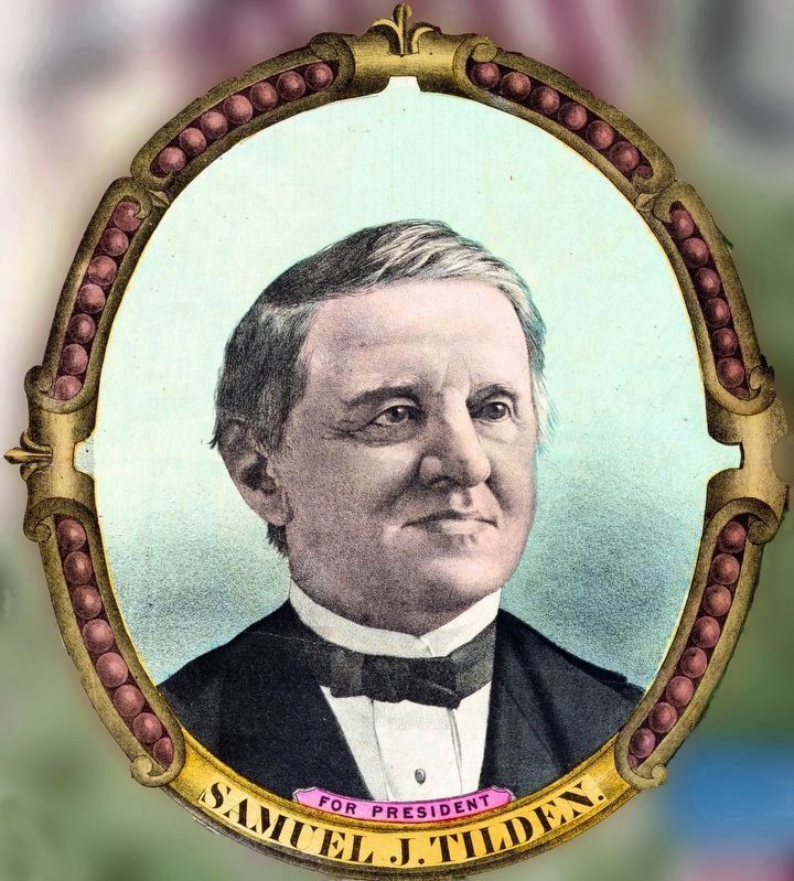
2. Samuel J. Tilden
For President
For President
In 1887, Tilden was named after Samuel J. Tilden, presidential candidate.
From National Democratic Chart, 1876--For president, Samuel J. Tilden, by H. H. Lloyd & Co. - Library of Congress Prints and Photographs Division Washington, D.C. 20540 USA
From National Democratic Chart, 1876--For president, Samuel J. Tilden, by H. H. Lloyd & Co. - Library of Congress Prints and Photographs Division Washington, D.C. 20540 USA
Credits. This page was last revised on January 13, 2021. It was originally submitted on November 17, 2020, by Craig Doda of Napoleon, Ohio. This page has been viewed 562 times since then and 28 times this year. Photos: 1. submitted on November 17, 2020, by Craig Doda of Napoleon, Ohio. 2. submitted on January 13, 2021, by Allen C. Browne of Silver Spring, Maryland. • Devry Becker Jones was the editor who published this page.
