East Coventry Township near Pottstown in Chester County, Pennsylvania — The American Northeast (Mid-Atlantic)
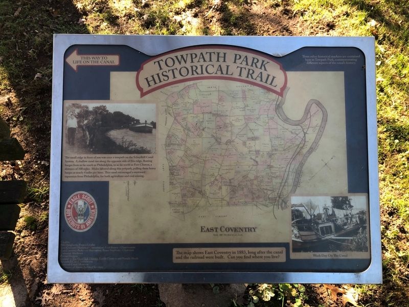
Towpath Park Historical Trail
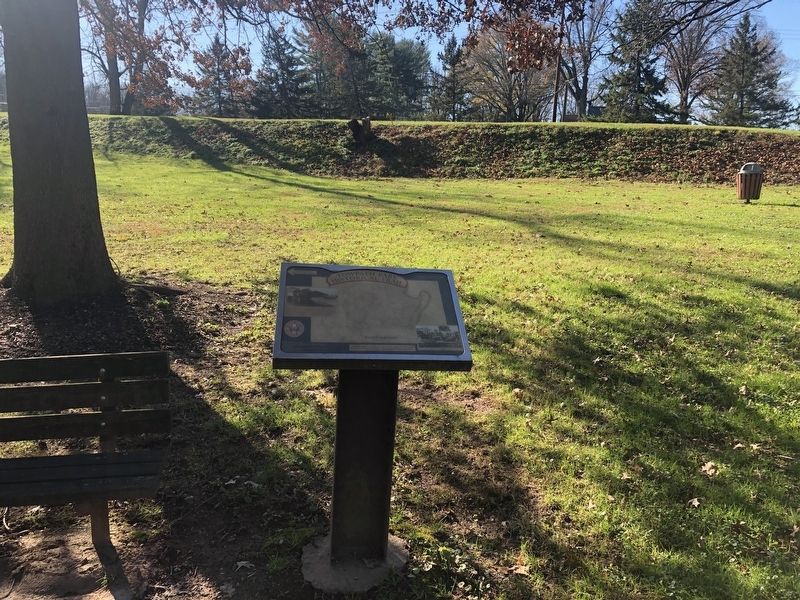
The small ridge in front of you was once a towpath on the Schuylkill Canal System. A shallow canal ran along the opposite side of this ridge, floating barges from as far south as Philadelphia, to as far north as Fort Clinton a distance of 108 miles. Mules labored along this towpath, pulling these heavy barges at nearly 4 miles per hour. this canal encouraged a westward expansion from Philadelphia, for both agriculture and coal mining.
[Captions:]
The map shows East Coventry in 1883, long after the canal and railroad were built. Can you find where you live?
Wash Day On The Canal
Topics. This historical marker is listed in these topic lists: Animals • Waterways & Vessels. A significant historical year for this entry is 1883.
Location. 40° 13.489′ N, 75° 37.076′ W. Marker is near Pottstown, Pennsylvania, in Chester County. It is in East Coventry Township. Marker can be reached from the intersection of New Schuylkill Road (Pennsylvania Route 724) and Peterman Road, on the left when traveling east. Touch for map. Marker is at or near this postal address: 1675 New Schuylkill Rd, Pottstown PA 19465, United States of America. Touch for directions.
Other nearby markers. At least 8 other markers are within 2 miles of this marker, measured as the crow flies. Life on the Canal (about 400 feet away, measured in a direct line); Schuylkill Navigation Company (about 700 feet away); Canal Construction (approx. 0.2 miles away); The Grubb Mansion (approx. 1.3 miles away); Annie Wittenmyer (approx. 1˝ miles away); The Hill School (approx. 1˝ miles away); Pottstown Historical Society (approx. 1.8 miles away); Pottstown War Memorial (approx. 1.9 miles away). Touch for a list and map of all markers in Pottstown.
Credits. This page was last revised on February 7, 2023. It was originally submitted on November 21, 2020, by Devry Becker Jones of Washington, District of Columbia. This page has been viewed 184 times since then and 24 times this year. Photos: 1, 2. submitted on November 21, 2020, by Devry Becker Jones of Washington, District of Columbia.

