North Coventry Township near Pottstown in Chester County, Pennsylvania — The American Northeast (Mid-Atlantic)
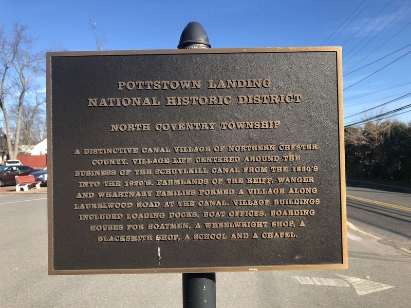
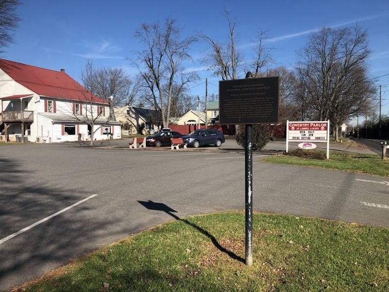
Pottstown Landing National Historic District

Photographed By Devry Becker Jones (CC0), November 20, 2020
1. Pottstown Landing National Historic District Marker
Topics. This historical marker is listed in these topic lists: Industry & Commerce • Settlements & Settlers • Waterways & Vessels.
Location. 40° 14.058′ N, 75° 40.073′ W. Marker is near Pottstown, Pennsylvania, in Chester County. It is in North Coventry Township. Marker is on Laurelwood Road, 0.1 miles north of West Schuylkill Road (Pennsylvania Route 724), on the left when traveling north. Touch for map. Marker is at or near this postal address: 653 Laurelwood Rd, Pottstown PA 19465, United States of America. Touch for directions.
Other nearby markers. At least 8 other markers are within 2 miles of this marker, measured as the crow flies. The PECO Building (approx. one mile away); Pottsgrove Manor (approx. one mile away); Pottstown Brewing Co. (approx. 1.1 miles away); a different marker also named Pottsgrove Manor (approx. 1.1 miles away); Freight Station - AAA East Penn (approx. 1.1 miles away); The Elks Home (approx. 1.1 miles away); First Iron Bridge (approx. 1.1 miles away); Reading Passenger Station (approx. 1.1 miles away). Touch for a list and map of all markers in Pottstown.
Also see . . . Pottstown Landing National Register Historic District Registration Form. (Submitted on November 21, 2020, by William Fischer, Jr. of Scranton, Pennsylvania.)

Photographed By Devry Becker Jones (CC0), November 20, 2020
2. Pottstown Landing National Historic District Marker
Credits. This page was last revised on February 7, 2023. It was originally submitted on November 21, 2020, by Devry Becker Jones of Washington, District of Columbia. This page has been viewed 260 times since then and 52 times this year. Photos: 1, 2. submitted on November 21, 2020, by Devry Becker Jones of Washington, District of Columbia.