Niagara Falls in Niagara County, New York — The American Northeast (Mid-Atlantic)
The Niagara Falls Power Company
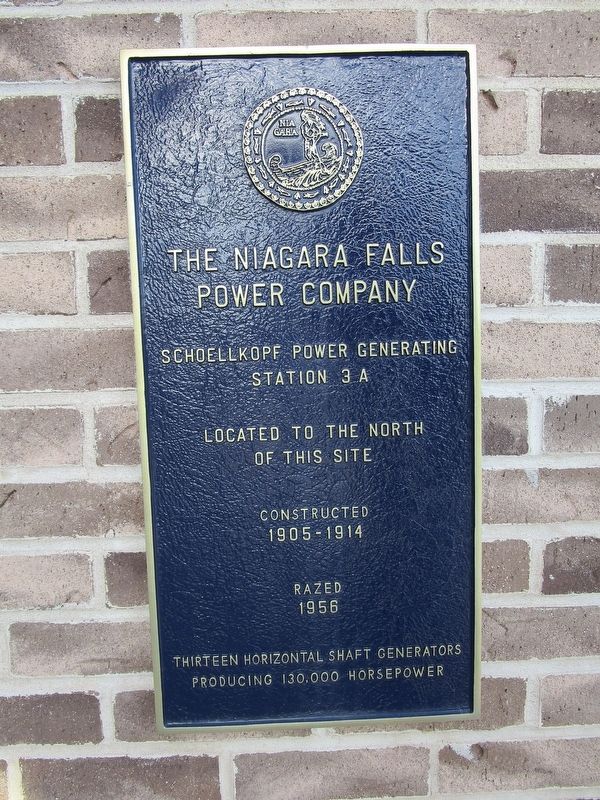
The Niagara Falls Power Company, Schoellkopf Power Generating Station 3A, located to the north of this site, constructed 1905-1914, razed 1956. Thirteen horizontal shaft generators producing 130,000 horsepower
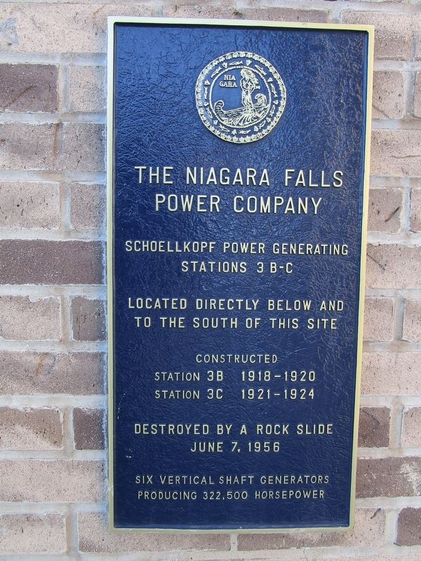
The Niagara Falls Power Company, Schoellkopf Power Generating Stations 3B-C, located directly below and to the south of this site, constructed Station 3B 1918-1920, Station 3C 1921-1924. Destroyed by a rock slide June 7, 1956. Six vertical shaft generators producing 322,500 horsepower.
Topics. This historical marker is listed in these topic lists: Disasters • Industry & Commerce. A significant historical year for this entry is 1905.
Location. 43° 5.557′ N, 79° 3.759′ W. Marker is in Niagara Falls, New York, in Niagara County. Marker is on Discovery Way, ¼ mile north of Main Street (New York State Route 104), on the left when traveling north. Touch for map. Marker is in this post office area: Niagara Falls NY 14303, United States of America. Touch for directions.
Other nearby markers. At least 8 other markers are within walking distance of this marker. The Birth of Hydro Electric Power (a few steps from this marker); Welcome to Schoellkopf Power Station No.3 (within shouting distance of this marker); Niagara Gorge Industrial Heritage (approx. ¼ mile away); Niagara Gorge Important Bird Area (approx. ¼ mile away); Bridges of Niagara (approx. ¼ mile away); Replica of the Statue of Liberty (approx. 0.3 miles away); The Boundary Waters Treaty (approx. 0.3 miles away in Canada); Niagara Falls Medal of Honor Memorial (approx. half a kilometer away). Touch for a list and map of all markers in Niagara Falls.
Photographed By Anton Schwarzmueller, November 20, 2020
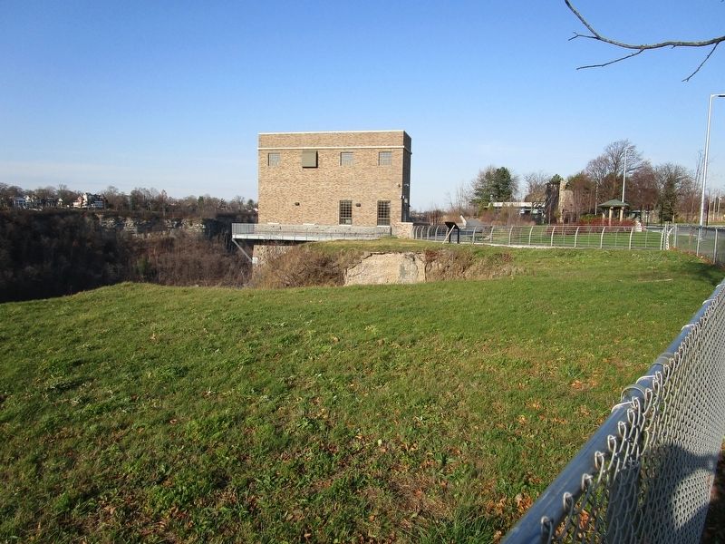
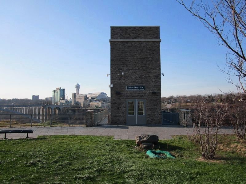
3. Marker and Elevator Structure
The two plaques of this marker are facing each other on the half-height walls that shoulder two sides of the entrance walkway to this structure. The structure houses an elevator that descends into the gorge where there is marker of 17 panels, the Maid of the Mist docks, and a trailhead. The stone in the foreground has a 1924 commemorative plaque angled towards the structure. The Rainbow Bridge to Canada is in the background to the left.
Credits. This page was last revised on November 27, 2020. It was originally submitted on November 21, 2020, by Anton Schwarzmueller of Wilson, New York. This page has been viewed 160 times since then and 13 times this year. Photos: 1, 2, 3, 4, 5. submitted on November 21, 2020, by Anton Schwarzmueller of Wilson, New York.
