
Minerva in Stark County, Ohio — The American Midwest (Great Lakes)
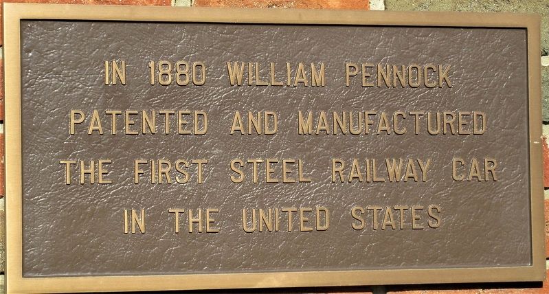
William Pennock
Photographed by Rev. Ronald Irick, November 9, 2020
1. William Pennock Marker
Topics and series. This historical marker is listed in these topic lists: Industry & Commerce • Railroads & Streetcars. In addition, it is included in the Lincoln Highway series list.
Location. 40° 43.911′ N, 81° 5.927′ W. Marker is in Minerva, Ohio, in Stark County. It is at the intersection of Lincoln Highway (U.S. 30) and Preston Avenue, on the right when traveling west on Lincoln Highway. marker is in Minerva Municipal Park. Touch for map. Marker is at or near this postal address: 502 E Lincoln Hwy, Minerva OH 44657, United States of America. Touch for directions.

Regionally, this marker is in Amish Country and in Greater Cleveland. It is also in the American Midwest. Globally, it is in North America, the Western Hemisphere, the Western World, and the Anglosphere. Historically, it finds itself in what was once the Haudenosaunee (Iroquois) Confederacy, the territory of the Mississippian Culture, and the Northwest Territory.
Other nearby markers. At least
this page online
Photographed by Rev. Ronald Irick, November 9, 2020
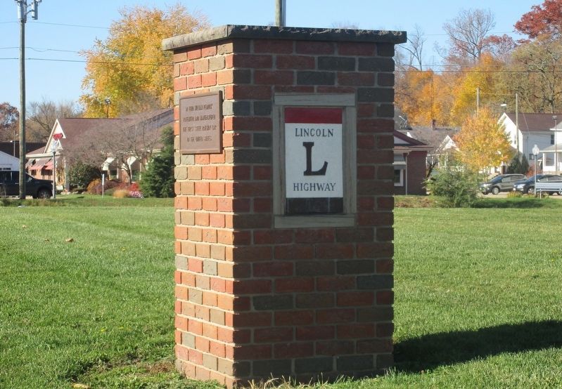
2. William Pennock Marker
full view of marker
Photographed by Rev. Ronald Irick, November 9, 2020
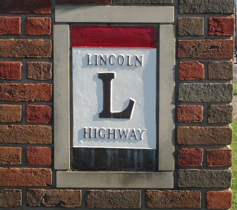
3. William Pennock Marker
Lincoln Highway logo on marker
Credits. This page was last revised on November 22, 2020. It was originally submitted on November 21, 2020, by Rev. Ronald Irick of West Liberty, Ohio. This page has been viewed 410 times since then and 26 times this year. Photos: 1, 2, 3. submitted on November 21, 2020, by Rev. Ronald Irick of West Liberty, Ohio. • Devry Becker Jones was the editor who published this page.
