Amity Township near Douglassville in Berks County, Pennsylvania — The American Northeast (Mid-Atlantic)
Morlatton Vilage
An 18th Century Crossroads
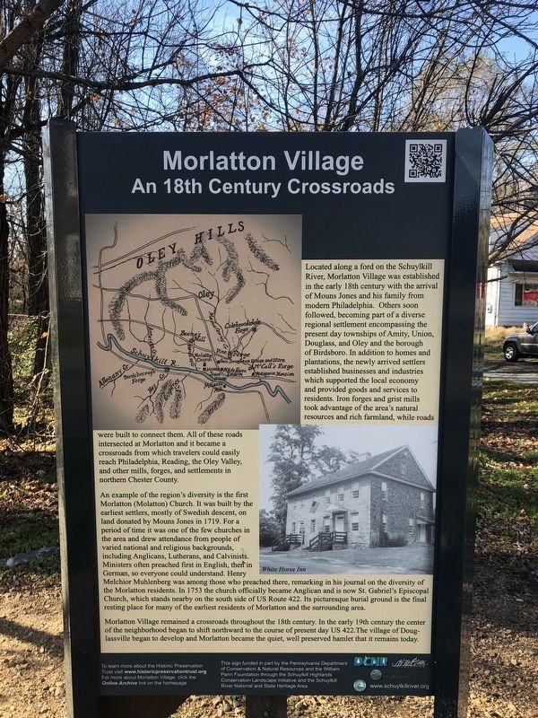
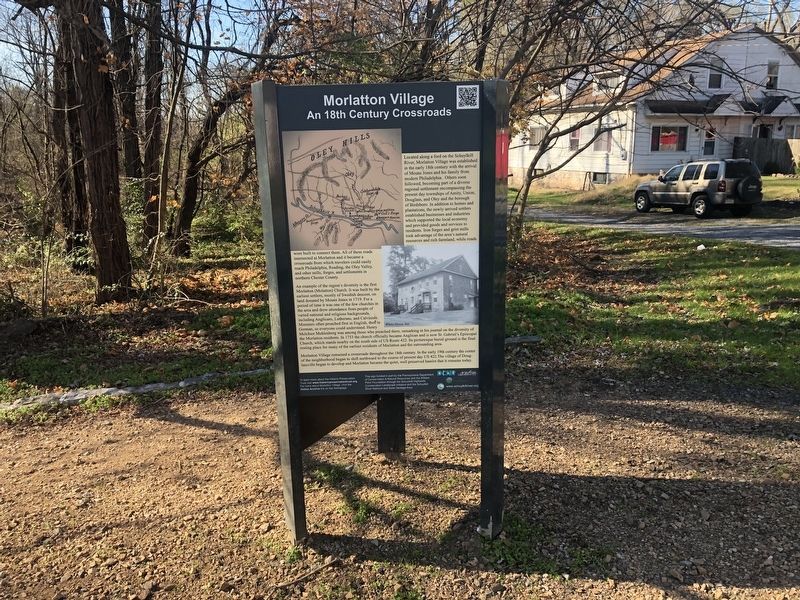
Located along a ford on the Schuylkill River, Morlatton Village was established in the 18th century with the arrival of Mouns Jones and his family from modern Philadelphia. Others soon followed, becoming a part of a diverse regional settlement encompassing the present day townships of Amity, Union, Douglass, and Oley and the borough of Birdsboro. In addition to homes and plantations, and newly arrived settlers established businesses and industries which supported the local economy and provided goods and services to residents. Iron forges and grist mills took advantage of the area's natural resources and rich farmland, while roads were built to connect them. All of these roads intersected at Morlatton and it became a crossroads from which travelers could easily reach Philadelphia, Reading, they Oley Valley, and other mills, forges, and settlements in northern Chester County.
An example of the region's diversity is the first Morlatton (Molatton) Church. It was built by the earliest settlers, mostly of Swedish descent, on land donated by Mouns Jones in 1719. For a period of time it was one of the few churches in the area and drew attendance from people of varied national and religious backgrounds, including Anglicans, Lutherans, and Calvinists. Ministers often preached first in English, then in German, so everyone could understand. Henry Melchior Muhlenberg was among those who preached there, remarking in his journal on the diversity of Church, which stands nearby on the south side of US Route 422. Its picturesque burial ground is the final resting place for many of the earliest residents of Morlatton and the surrounding area.
Morlatton Village remained a crossroads throughout the 18th century. In the early 19th century the center of the neighborhood began to shift northward to the course of present day US 422. The village of Douglassville began to develop and Morlatton became the quiet, well preserved hamlet that it remains today.
Erected by Pennsylvania Department of Conservation and Natural Resources and the William Penn Foundation through the Schuylkill Highlands Conservation Landscape Initiative and the Schuylkill National and State Heritage Area.
Topics. This historical marker is listed in these topic lists: Churches & Religion • Colonial Era • Settlements & Settlers. A significant historical year for this entry is 1719.
Location. 40° 15.245′ N, 75° 43.58′ W. Marker is near Douglassville, Pennsylvania, in Berks County. It is in Amity Township. Marker is on Old Philadelphia Pike, 0.1 miles north of Britton Street, on the left when traveling north. Touch for map. Marker is at
Other nearby markers. At least 8 other markers are within walking distance of this marker. Morlatton Village Trailhead (here, next to this marker); Old Swedes House (a few steps from this marker); George Douglass Home (a few steps from this marker); Welcome to Morlatton Village (about 300 feet away, measured in a direct line); Feuding Railroads (about 300 feet away); White Horse Inn (about 300 feet away); Mouns Jones House (about 500 feet away); Michael Fulp House (about 500 feet away). Touch for a list and map of all markers in Douglassville.
Credits. This page was last revised on February 7, 2023. It was originally submitted on November 21, 2020, by Devry Becker Jones of Washington, District of Columbia. This page has been viewed 190 times since then and 20 times this year. Photos: 1, 2. submitted on November 21, 2020, by Devry Becker Jones of Washington, District of Columbia.

