Amity Township near Douglassville in Berks County, Pennsylvania — The American Northeast (Mid-Atlantic)
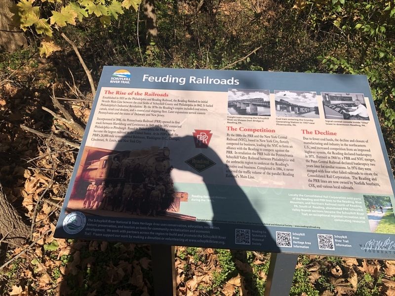
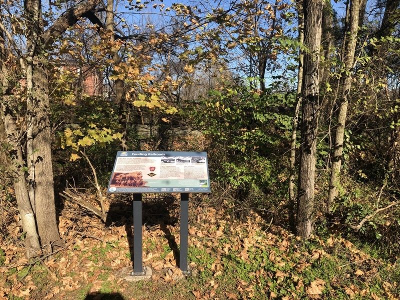
Feuding Railroads
Schuylkill River Trail
The Rise of the Railroads
Established in 1833 as the Philadelphia and Reading Railroad, the Reading finished its initial 94-mile Main Line between the coal fields of Schuylkill County and Philadelphia in 1842. It fueled Philadelphia's Industrial Revolution. By the 1870s the Reading's empire included coal mines, canals, retail coal dealers, and a coastal coal shipping fleet. Later expansion served eastern Pennsylvania and the states of Delaware and New Jersey.
Incorporated in 1846, the Pennsylvania Railroad (PRR) opened its first track between Harrisburg and Lewistown in 1849 and the 1852 connected Philadelphia to Pittsburgh. Based in Philadelphia, the PRR grew to become the largest railroad in United States. At its 1920's peak the PRR's 26,000-mile system served Baltimore, Washington, DC., Chicago, Cincinnati, St. Louis, and New York City.
The Competition
By the 1880s the PRR and the New York Central Railroad (NYC), based in New York City, fiercely competed for business, leading the NYC to form an alliance with the REading to compete against the PRR. In retaliation the PRR built the Pennsylvania Schuylkill valley Railroad between Philadelphia and the anthracite region to undercut the Reading's lucrative coal business. Completed in 1886, it never achieved the traffic volume of the parallel Reading Railroad's Main Line.
The Decline
Due to fewer coal hauls, the decline and closure of manufacturing and industry in the northeastern U.S., and increased competition from an improved highway system, the Reading declared bankruptcy in 1971. Formed in 1968 by a PRR and NYC merger, the Penn Central Railroad declared bankruptcy two years later for similar reasons. In 1976 they were merged with four other failed regions to create the Consolidated Rail Corporation. The Reading and PRR lines are now owned by Norfolk Southern, CSX, and various local railroads.
[Captions:]
Freight train crossing the Schuylkill River on Shepps Dam Bridge in Reading, PA.
Coal train entering the Cromboy Generating Station in 1957 near Phoenixville, PA.
Signal console inside "Oley" tower in downtown Reading, PA.
Reading Railroad Workers during the 1940s.
Locally the Consolidated Rail Corporation sold parts of the Reading and PRR lines to the Reading, Blue Mountain, and Northern Railroad north of Reading, PA. South of Reading, abandoned PRR Schuylkill Valley Branch sections became the Schuylkill
Erected by The Schuylkill National & State Heritage Area.
Topics and series. This historical marker is listed in this topic list: Railroads & Streetcars. In addition, it is included in the Pennsylvania Railroad (PRR) series list. A significant historical year for this entry is 1833.
Location. 40° 15.294′ N, 75° 43.607′ W. Marker is near Douglassville, Pennsylvania, in Berks County. It is in Amity Township. Marker is on Schuylkill River Trail, on the right when traveling west. Touch for map. Marker is at or near this postal address: 531 Old Philadelphia Pike, Douglassville PA 19518, United States of America. Touch for directions.
Other nearby markers. At least 8 other markers are within walking distance of this marker. Old Swedes House (about 300 feet away, measured in a direct line); Morlatton Village Trailhead (about 300 feet away); Morlatton Vilage (about 300 feet away); George Douglass Home (about 400 feet away); Mouns Jones House (about 600 feet away); Welcome to Morlatton Village (about 600 feet away); Michael Fulp House (about 600 feet away); White Horse Inn (about 700 feet away). Touch for a list and map of all markers in Douglassville.
Credits. This page was last revised on February 7, 2023. It was originally submitted on November 21, 2020, by Devry Becker Jones of Washington, District of Columbia. This page has been viewed 175 times since then and 15 times this year. Photos: 1, 2. submitted on November 21, 2020, by Devry Becker Jones of Washington, District of Columbia.

