Niles in Berrien County, Michigan — The American Midwest (Great Lakes)
Saint Mary’s
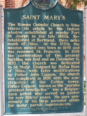
Photographed by M. Bowyer, July 10, 2007
1. Saint Mary's Marker
Erected 1971. (Marker Number S0344.)
Topics and series. This historical marker is listed in this topic list: Religion & Religious Structures. In addition, it is included in the Michigan Historical Commission series list. A significant historical month for this entry is December 1839.
Location. 41° 49.507′ N, 86° 15.824′ W. Marker is in Niles, Michigan, in Berrien County. It is
this page online

Regionally, this marker is in Southwest Michigan and specifically in one of the Lake Michigan Shore counties. It is also in the American Midwest. Globally, it is in North America, on the Great Lakes, in the Western Hemisphere, in the Western World, and in the Anglosphere. Historically, it finds itself in what was once the Viceroyalty of New France and also the Northwest Territory.
Other nearby markers. At least 5 other markers are within walking distance of this marker: PA-WA-TING (approx. 0.3 miles away); Parrott Civil War Cannon (approx. 0.4 miles away); Niles Veterans Memorial (approx. 0.4 miles away); John B. Reddick Building (approx. half a mile away); Ring Lardner (approx. half a mile away). Touch for a list and map of all markers in Niles.
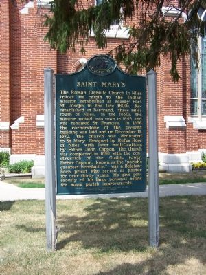
Photographed by M. Bowyer, July 10, 2007
2. Saint Mary's Marker
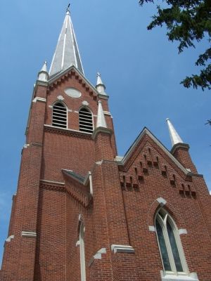
Photographed by M. Bowyer, July 10, 2007
3. Saint Mary's Church
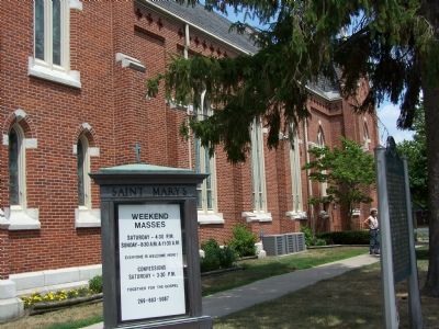
Photographed by M. Bowyer, July 10, 2007
4. Saint Mary's
Credits. This page was last revised on June 16, 2016. It was originally submitted on July 10, 2007, by M. Bowyer of Indianapolis, Indiana. This page has been viewed 2,210 times since then and 40 times this year. Photos: 1, 2, 3, 4. submitted on July 10, 2007, by M. Bowyer of Indianapolis, Indiana. • J. J. Prats was the editor who published this page.
