Austin in Potter County, Pennsylvania — The American Northeast (Mid-Atlantic)
The Austin Dam Broke
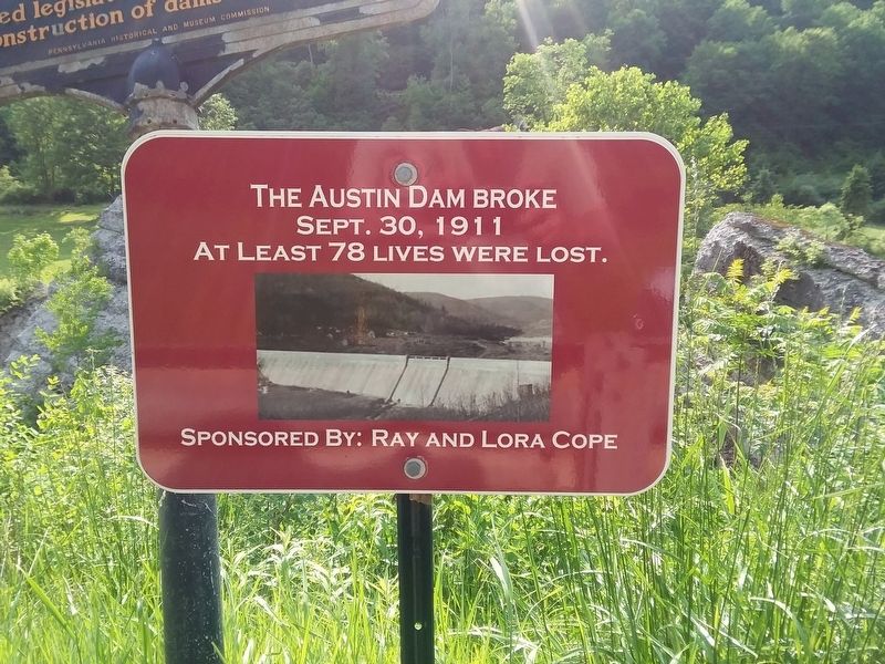
Photographed by Craig Doda, June 4, 2019
1. The Austin Dam Broke Marker
Topics. This historical marker is listed in this topic list: Disasters. A significant historical date for this entry is September 30, 1911.
Location. 41° 39.169′ N, 78° 5.066′ W. Marker is in Austin, Pennsylvania, in Potter County. It is on PA-872 S, on the left when traveling north. Touch for map. Marker is in this post office area: Austin PA 16720, United States of America. Touch for directions.

Regionally, this marker is in the Pennsylvania Wilds. It is also in the American Northeast, in the Mid-Atlantic, in Appalachia, and specifically in Northern Appalachia. Globally, it is in North America, the Western Hemisphere, the Western World, and the Anglosphere. Historically, it finds itself in what was once the Haudenosaunee (Iroquois) Confederacy and also one of the original Thirteen Colonies.
Other nearby markers. At least 8 other markers are within walking distance of this marker: Austin Flood Disaster (here, next to this marker); Victims of Sept 30, 1911 Austin Flood (about 300 feet away, measured in a direct line); Ms. Cora Brooks (about
this page online
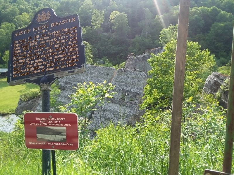
Photographed by Craig Doda, June 4, 2019
2. The Austin Dam Broke Marker
Credits. This page was last revised on November 30, 2020. It was originally submitted on November 23, 2020, by Craig Doda of Napoleon, Ohio. This page has been viewed 306 times since then and 16 times this year. Photos: 1, 2. submitted on November 23, 2020, by Craig Doda of Napoleon, Ohio. • Bill Pfingsten was the editor who published this page.
