Villa Verde in Hidalgo County, Texas — The American South (West South Central)
Balli Cemetery
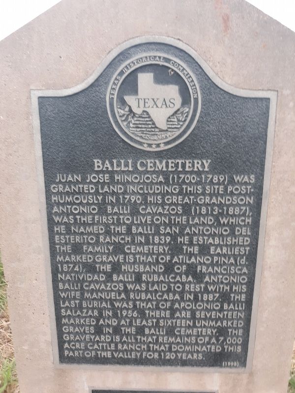
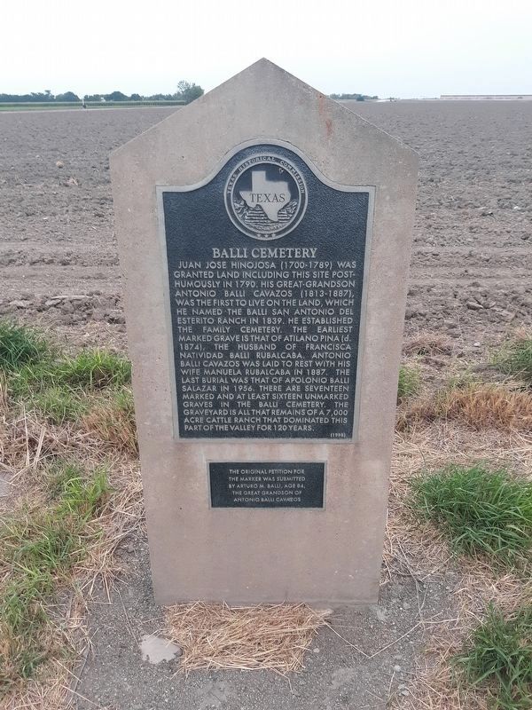
Juan Jose Hinojosa (1700-1789) was granted land including this site posthumously in 1790. His great-grandson Antonio Balli Cavazos (1813-1887), was the first to live on the land, which he named the Balli San Antonio del Esterito Ranch in 1839. He established the family cemetery. The earliest marked grave is that of Atilano Pina (d. 1874), the husband of Francisca Natividad Balli Rubalcaba. Antonio Balli Cavazos was laid to rest with his life Manuela Rubalcaba in 1887, the last burial was that of Apolonio Balli Salazar in 1956, there are seventeen marked and at least sixteen unmarked graves in the Balli Cemetery. The graveyard is all that remains of a 7,000 acre cattle ranch that dominated this part of the valley for 120 years.
The original petition for the marker was submitted by Arturo M. Balli, age 84, the great grandson of Antonio Balli Cavazos
Erected 1998 by Texas Historical Commission. (Marker Number 12058.)
Topics. This historical marker is listed in this topic list: Cemeteries & Burial Sites. A significant historical year for this entry is 1790.
Location. 26° 5.04′ N, 98° 0.876′ W. Marker is in Villa Verde, Texas, in Hidalgo County. Marker is on National Highway 281, on the right when traveling east. Touch for map. Marker is at or near this postal address: 2555 E Highway 281, Weslaco TX 78596, United States of America. Touch for directions.
Other nearby markers. At least 8 other markers are within 5 miles of this marker, measured as the crow flies. Donna Public Schools (approx. 3 miles away); Run (approx. 3.3 miles away); Handy Ranch (approx. 3.3 miles away); Asadores Ranch (approx. 3.3 miles away); Progreso (approx. 3˝ miles away); Former Station Site of Spiderweb Railroad (approx. 3˝ miles away); Cpl. Harlon Block, USMC (approx. 4.2 miles away); Battle of La Bolsa (approx. 4˝ miles away).
Credits. This page was last revised on November 24, 2020. It was originally submitted on November 23, 2020, by Craig Doda of Napoleon, Ohio. This page has been viewed 380 times since then and 68 times this year. Photos: 1, 2. submitted on November 23, 2020, by Craig Doda of Napoleon, Ohio. • J. Makali Bruton was the editor who published this page.

