Near DeBerry in Panola County, Texas — The American South (West South Central)
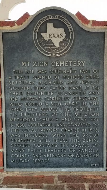
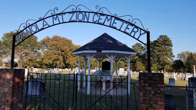
Mt. Zion Cemetery
This site was originally part of a tract owned by pioneer area settlers Richard and Polly Golden. They later gave it to their daughter Elizabeth and her husband Cornelius Crenshaw. Who buried a son here in the 1840s. They deeded the property to trustees of the Mt. Zion Methodist Church and Cemetery in 1850. Additional land, conveyed to the local farmers' Grange in 1875, was included when the group disbanded. Still in use, the burial ground contains the graves of many early leaders of Panola County and veterans of American Military Service.
Erected 1981 by Texas Historical Commission. (Marker Number 10833.)
Topics. This historical marker is listed in this topic list: Cemeteries & Burial Sites. A significant historical year for this entry is 1850.
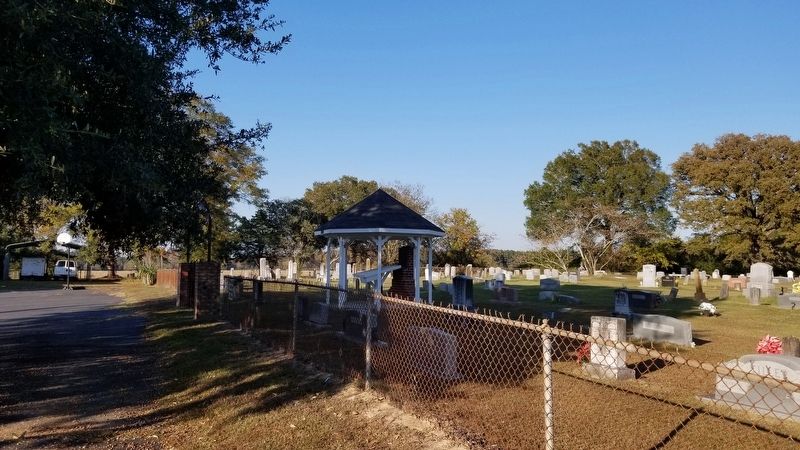
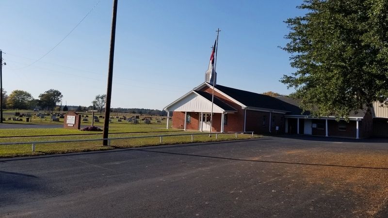
Location. 32° 20.597′ N, 94° 7.066′ W. Marker is near DeBerry, Texas, in Panola County. Marker is on County Highway 328, 0.1 miles north of U.S. 79, on the right when traveling north. Touch for map. Marker is in this post office area: De Berry TX 75639, United States of America. Touch for directions.
Other nearby markers. At least 8 other markers are within 15 miles of this marker, measured as the crow flies. DeBerry (approx. 3.9 miles away); DeBerry Baptist Church (approx. 4.1 miles away); Bailey Anderson (approx. 4.3 miles away); Site of Bethany (approx. 4.7 miles away); Former Site of Old Concord Methodist Church and Concord Masonic Lodge (approx. 12 miles away); Swanson's Landing (approx. 12.1 miles away); Deadwood Cemetery (approx. 13.7 miles away); The Respess Family and Respess Creek (approx. 14.3 miles away). Touch for a list and map of all markers in DeBerry.
Credits. This page was last revised on November 24, 2020. It was originally submitted on November 23, 2020, by James Hulse of Medina, Texas. This page has been viewed 252 times since then and 53 times this year. Photos: 1, 2, 3, 4. submitted on November 23, 2020, by James Hulse of Medina, Texas. • J. Makali Bruton was the editor who published this page.


