Near Vickery in Sandusky County, Ohio — The American Midwest (Great Lakes)
The Underground Railroad / Escaping Slavery In North Central Ohio
Historic Underground Railroad Site
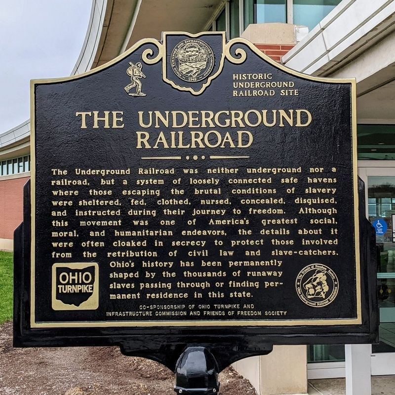
The Underground Railroad
The Underground Railroad was neither underground nor a railroad, but a system of loosely connected safe havens where those escaping the brutal conditions of slavery were sheltered, fed, clothed, nursed, concealed, disguised, and instructed during their journey to freedom. Although this movement was one of America's greatest social, moral, and humanitarian endeavors, the details about it were often cloaked in secrecy to protect those involved from the retribution of civil law and slave-catchers. Ohio's history has been permanently shaped by the thousands of runaway slaves passing through or finding permanent residence in this state.
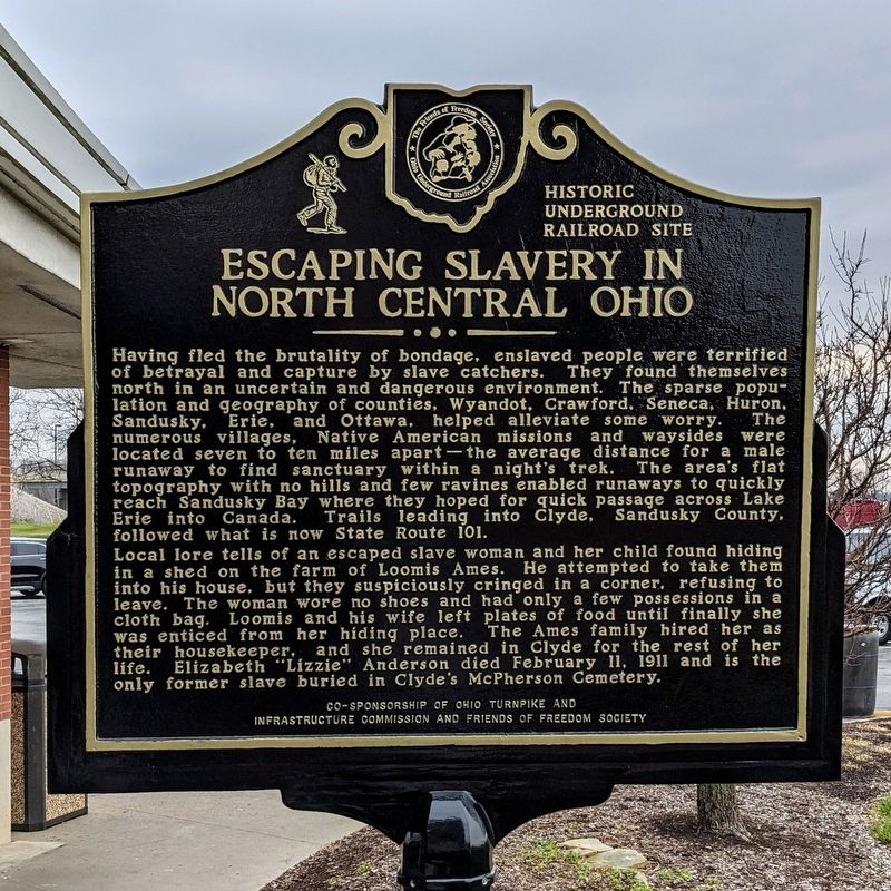
Escaping Slavery In North Central Ohio
Having fled the brutality of bondage, enslaved people were terrified of betrayal and capture by slave catchers. They found themselves north in an uncertain and dangerous environment. The sparse population and geography of counties, Wyandot, Crawford, Seneca, Huron, Sandusky, Erie, and Ottawa, helped alleviate some worry. The numerous villages, Native American missions and waysides were located seven to ten miles apart—the average distance for a male runaway to find sanctuary within a night's trek. The area's flat topography with no hills and few ravines enabled runaways to quickly reach Sandusky Bay where they hoped for quick passage across Lake Erie into Canada. Trails leading into Clyde, Sandusky County, followed what is now State Route 101.
Local lore tells of an escaped slave woman and her child found hiding in a shed on the farm of Loomis Ames. He attempted to take them into his house, but they suspiciously cringed in a corner. refusing to leave. The woman wore no shoes and had only a few possessions in a cloth bag. Loomis and his wife left plates of food until finally she was enticed from her hiding place. The Ames family hired her as their housekeeper, and she remained in Clyde for the rest of her life. Elizabeth "Lizzie" Anderson died February 11, 1911 and is the only former slave buried in Clyde's McPherson Cemetery.
Erected by Ohio Turnpike and Infrastucture Commission, and The Friends of Freedom Society.
Topics. This historical marker is listed in these topic lists: Abolition & Underground RR • African Americans.
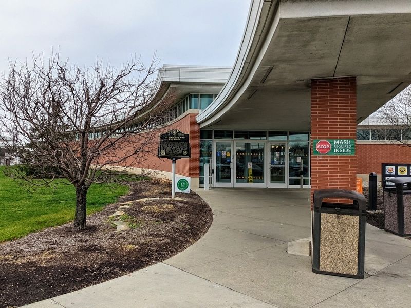
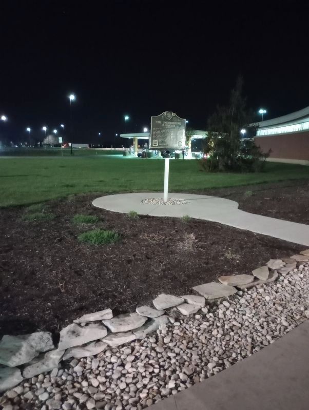
Location. 41° 22.132′ N, 82° 57.385′ W. Marker is near Vickery, Ohio, in Sandusky County. Marker is on Ohio Turnpike (Interstate 80/90 at milepost 100), 10˝ miles west of Hayes Avenue (Ohio Route 4), on the right when traveling west. Located at the Erie Islands Travel Plaza. Touch for map. Marker is in this post office area: Vickery OH 43464, United States of America. Touch for directions.
Other nearby markers. At least
8 other markers are within 5 miles of this marker, measured as the crow flies. McPherson Birthplace (approx. 3.8 miles away); American Revolutionay War Tree (approx. 4.1 miles away); George Burton Meek (approx. 4.1 miles away); Veterans Memorial (approx. 4.2 miles away); Welcome to McPherson Cemetery (approx. 4.2 miles away); James Birdseye McPherson (approx. 4.2 miles away); McPherson Cemetery (approx. 4.2 miles away); World War II Veterans Memorial (approx. 4.2 miles away).
Credits. This page was last revised on April 17, 2023. It was originally submitted on November 24, 2020, by Bernard Fisher of Richmond, Virginia. This page has been viewed 244 times since then and 46 times this year. Last updated on December 29, 2021, by Carl Gordon Moore Jr. of North East, Maryland. Photos: 1, 2, 3. submitted on November 24, 2020, by Bernard Fisher of Richmond, Virginia. 4. submitted on April 16, 2023, by Craig Doda of Napoleon, Ohio. • Devry Becker Jones was the editor who published this page.


