Dryden in Lapeer County, Michigan — The American Midwest (Great Lakes)
Dryden Depot
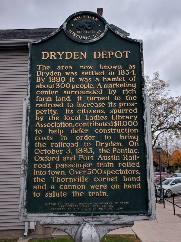
Photographed by Joel Seewald, November 4, 2017
1. Dryden Depot Marker
Erected 1985 by Bureau of History,
this page online
Topics and series. This historical marker is listed in this topic list: Railroads & Streetcars. In addition, it is included in the Michigan Historical Commission series list. A significant historical date for this entry is October 3, 1883.
Location. 42° 56.75′ N, 83° 7.546′ W. Marker is in Dryden, Michigan, in Lapeer County. It is on Main Street west of Mill Road, on the left when traveling west. Touch for map. Marker is at or near this postal address: 5488 Main Street, Dryden MI 48428, United States of America. Touch for directions.

Regionally, this marker is in Southeast Michigan. It is also in the American Midwest. Globally, it is in North America, the Western Hemisphere, the Western World, and the Anglosphere. Historically, it finds itself in what was once the Northwest Territory.
Other nearby markers. At least 8 other markers are within 5 miles of this marker, measured as the crow flies: Ladies Library Hall (a few steps from this marker); Dryden Veterans Memorial (approx. 0.2 miles away); a different marker also named Dryden Veterans Memorial (approx. half a mile away); Dryden Township Flouring Mill Dam
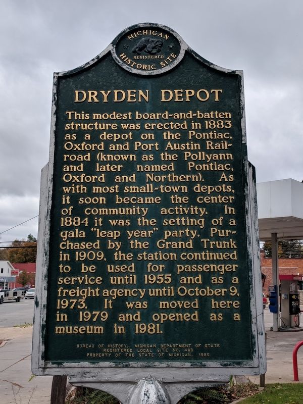
Photographed by Joel Seewald, November 4, 2017
2. Dryden Depot Marker
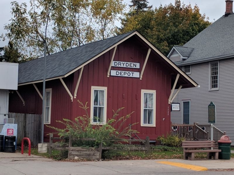
Photographed by Joel Seewald, November 4, 2017
3. Dryden Depot and Marker
Credits. This page was last revised on November 27, 2020. It was originally submitted on November 10, 2017. This page has been viewed 930 times since then and 80 times this year. Last updated on November 27, 2020, by John Garman of Rochester Hills. Photos: 1, 2, 3. submitted on November 10, 2017, by Joel Seewald of Madison Heights, Michigan. • J. Makali Bruton was the editor who published this page.
