
Farmington Hills in Oakland County, Michigan — The American Midwest (Great Lakes)
Charles Wixom House
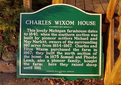
Photographed by Joel Seewald, November 21, 2020
1. Charles Wixom House Marker
Erected 1987 by Farmington Hills Historical Commission.
Topics. This historical marker is listed in this topic list: Settlements & Settlers. A significant historical year for this entry is 1840.
Location. This marker has been replaced by another marker nearby. It was located near 42° 29.824′ N, 83° 25.513′ W. Marker was in Farmington Hills, Michigan, in Oakland County. It could be reached from West Twelve Mile Road 0.6 miles east of Haggerty Road, on the right when traveling east. Touch for map. Marker was at or near this postal address: 38275 West Twelve Mile Road, Farmington MI 48331, United States of America. Touch for directions.

Regionally, this marker was in Southeast Michigan and in Greater Detroit. It was also in the American Midwest.
this page online
Other nearby markers. At least 8 other markers are within 2 miles of this location, measured as the crow flies: Michael Marlett - Charles Wixom House (within shouting distance of this marker); West Farmington Cemetery (approx. 0.4 miles away); Boorn-Halsted House (approx. half a mile away); The Worker's Camp (approx. 0.8 miles away); Hamilton Jones House (approx. 0.9 miles away); The Harger House (approx. 0.9 miles away); The Pettibone House (approx. 0.9 miles away); The Old Mill (approx. 1.3 miles away). Touch for a list and map of all markers in Farmington Hills.
Related marker. Click here for another marker that is related to this marker. This marker was replaced by the Michael Marlett - Charles Wixom House Marker.
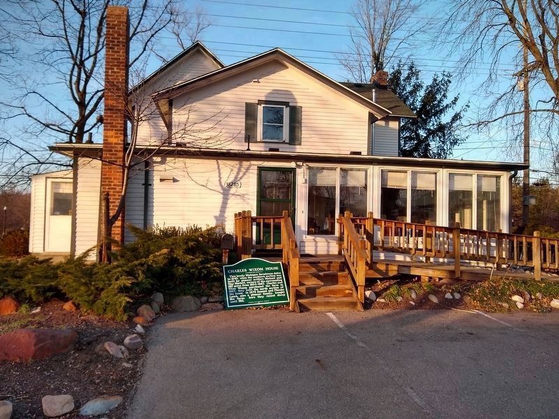
Photographed by Joel Seewald, November 21, 2020
2. Charles Wixom House Marker
Marker was found propped up next to the parking lot in back of the building. The marker used to be along West Twelve Mile Road on the right side of the driveway.
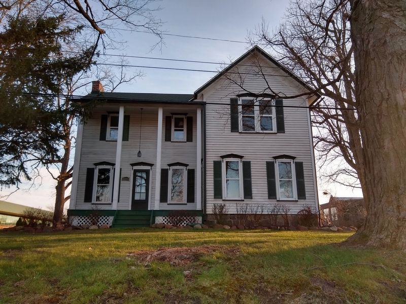
Photographed by Joel Seewald, November 21, 2020
3. Charles Wixom House
View of the house from West Twelve Mile Road.
Credits. This page was last revised on June 17, 2024. It was originally submitted on November 27, 2020, by Joel Seewald of Madison Heights, Michigan. This page has been viewed 659 times since then and 17 times this year. Photos: 1, 2, 3. submitted on November 27, 2020, by Joel Seewald of Madison Heights, Michigan.
