Near George West in McMullen County, Texas — The American South (West South Central)
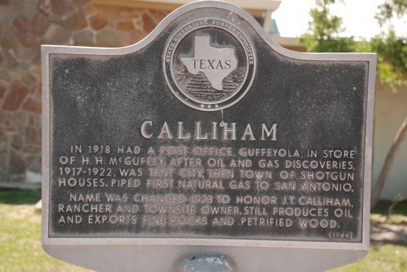
Calliham
In 1918 had a post office, Guffeyola, in store of H.H. McGuffey. After oil and gas discoveries, 1917-1922, was tent city then town of shotgun houses. Piped first natural gas to San Antonio.
Name was changed 1923 to honor J.T. Calliham, rancher and townsite owner. Still produces oil and exports fine rocks and petrified wood.
Erected 1966 by State Historical Survey Committee. (Marker Number 637.)
Topics. This historical marker is listed in these topic lists: Industry & Commerce • Settlements & Settlers. A significant historical year for this entry is 1908.
Location. 28° 28.807′ N, 98° 20.924′ W. Marker is near George West, Texas, in McMullen County. Marker is on Park Road 8 (County Route 302) 2 miles west of Richter Road when traveling north. This marker is located in Choke Canyon State Park, Calliham Unit. Touch for map. Marker is in this post office area: Calliham TX 78007, United States of America. Touch for directions.
Other nearby markers. At least 8 other markers are within 11 miles of this marker, measured as the crow flies. First Producing Gas Well in McMullen County and First Gas Pipeline to San Antonio (here, next to this marker); Yarbrough Bend (approx. 5.8 miles away); Townsite of Wentz (approx. 5.8 miles away); Site of Old Crowther Ranch (approx. 7.9 miles away); Site of Three Rivers Glass Factory (approx. 10 miles away); Rialto Theater (approx. 10.2 miles away); Three Rivers (approx. 10.2 miles away); Felix Longoria (approx. 10.2 miles away).
Credits. This page was last revised on November 30, 2020. It was originally submitted on November 28, 2020. This page has been viewed 167 times since then and 19 times this year. Photo 1. submitted on November 28, 2020, by J. Makali Bruton of Accra, Ghana.
Editor’s want-list for this marker. A wide view photo of the marker and the surrounding area together in context. • Can you help?
