Boca Raton in Palm Beach County, Florida — The American South (South Atlantic)
Sanborn Square
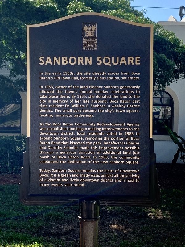
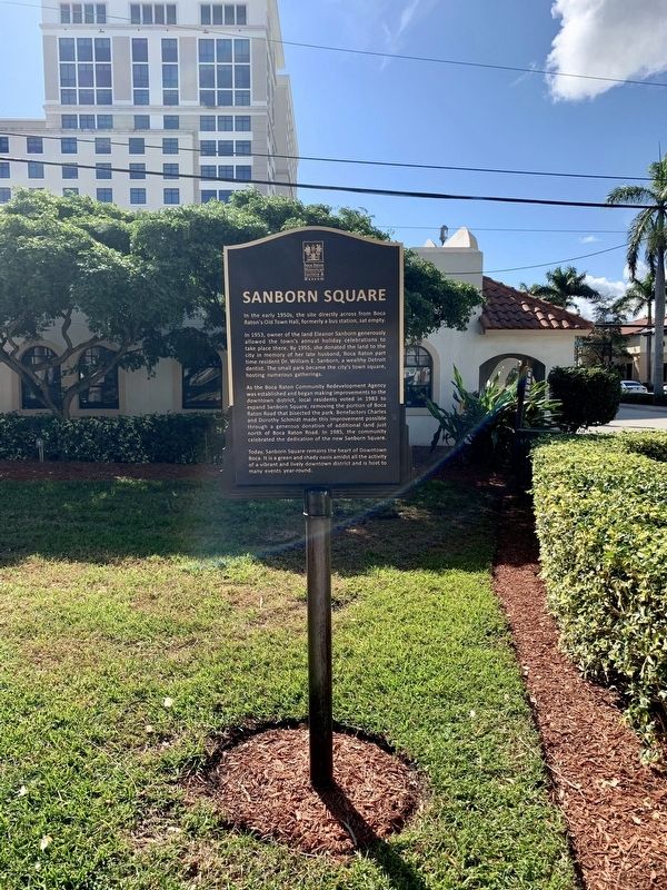
In 1953, owner of the land Eleanor Sanborn, graciously allowed the town‘s annual holiday celebrations to take place there. By 1955, she donated the land to the city in memory of her husband, Boca Raton part time resident Dr. William E. Sanborn, a wealthy Detroit dentist. The small park became the city’s town square, hosting numerous gatherings.
As the Boca Raton Redevelopment Agency was established and began making improvements to the downtown district, local residents voted in 1983 to expand Sanborn Square, removing the portion of Boca Raton Road that bisected the park. Benefactors Charles and Dorothy Schmidt made this improvement possible through a generous donation of additional land just north of Boca Raton Road. In 1985, the community commemorated the of the new Sanborn Square.
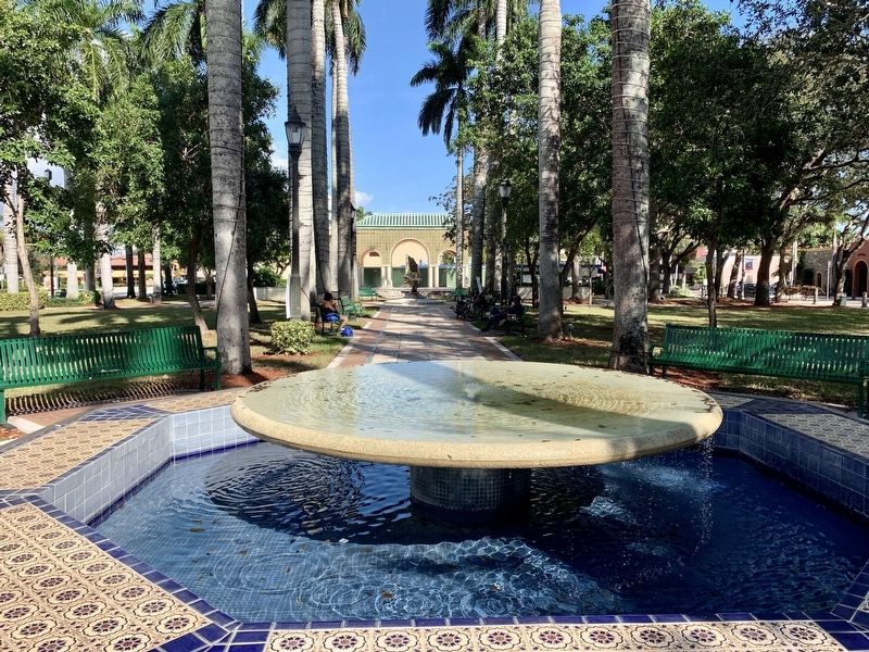
Today, Sanborn Square remains the heart of Downtown Boca. It is a green and shady oasis amidst all the activity of a vibrant and lively district and is host to many events year-round.
Erected 2020 by Boca Raton Historical Society & Museum.
Topics. This historical marker is listed in these topic lists: Charity & Public Work • Parks & Recreational Areas.
Location. 26° 21.065′ N, 80° 5.173′ W. Marker is in Boca Raton, Florida, in Palm Beach County. Marker is on North Federal Highway (U.S. 1) north of East Palmetto Park Road, on the right when traveling north. Touch for map. Marker is at or near this postal address: 72 North Federal Highway, Boca Raton FL 33432, United States of America. Touch for directions.
Other nearby markers. At least 8 other markers are within 3 miles of this marker, measured as the crow flies. Boca Raton Town Hall (within shouting distance of this marker); F.E.C. Railway Depot, Boca Raton (approx. 0.6 miles away); The Sanborn Wall (approx. one mile away); Old Floresta Historic District (approx. 1.1 miles away); Boca Raton Army Air Field B-34 Crash (approx. 1.8 miles away); The Barefoot Mailmen (approx. 2.2 miles away); First Zion Missionary Baptist Church (approx. 2.6 miles away); Branhilda Richardson Knowles Memorial Park and Historic Cemetery (approx. 2.8 miles away). Touch for a list and map of all markers in Boca Raton.
Credits. This page was last revised on December 6, 2020. It was originally submitted on November 29, 2020, by Jay Kravetz of West Palm Beach, Florida. This page has been viewed 331 times since then and 34 times this year. Photos: 1, 2, 3. submitted on November 29, 2020, by Jay Kravetz of West Palm Beach, Florida. • Bernard Fisher was the editor who published this page.


