Grapeland in Houston County, Texas — The American South (West South Central)
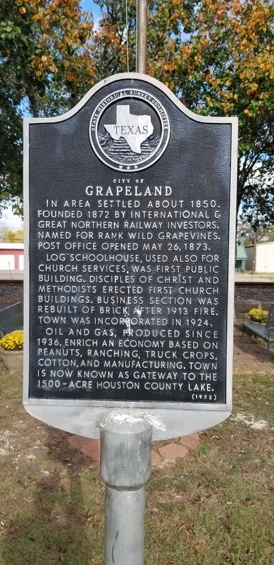
City of Grapeland
In area settled about 1850. Founded 1872 by International & Great Northern Railway Investors. Named for rank wild grapevines. Post office opened May 26, 1873.
Log schoolhouse, used also for church services, was first public building. Disciples of Christ and Methodists erected first church buildings. Business section was rebuilt of brick after 1913 fire. Town was incorporated in 1924.
Oil and gas, produced since 1936, enrich an economy based on peanuts, ranching, truck crops, cotton, and manufacturing. Town is now known as gateway to the 1500-acre Houston County Lake.
Erected 1972 by State Historical Survey Committee. (Marker Number 7058.)
Topics. This historical marker is listed in these topic lists: Churches & Religion • Industry & Commerce • Railroads & Streetcars. A significant historical date for this entry is May 26, 1873.
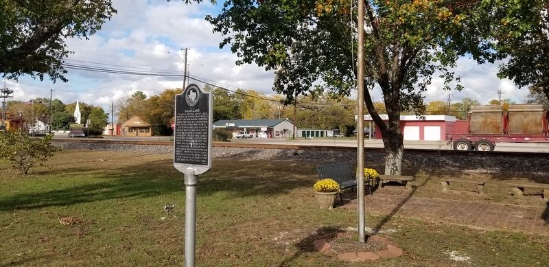
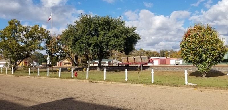
Location. 31° 29.458′ N, 95° 28.748′ W. Marker is in Grapeland, Texas, in Houston County. Marker is at the intersection of Main Street and West Chestnut Street, on the left when traveling south on Main Street. Touch for map. Marker is in this post office area: Grapeland TX 75844, United States of America. Touch for directions.
Other nearby markers. At least 8 other markers are within 10 miles of this marker, measured as the crow flies. First Baptist Church of Grapeland (approx. 0.2 miles away); First Christian Church (approx. 0.2 miles away); Joseph Randolph Yarbrough (approx. 0.6 miles away); Franklin Columbus Woodard (approx. 0.6 miles away); Latexo Baptist Church (approx. 6.6 miles away); Town of Latexo (approx. 6.6 miles away); John Wortham (approx. 9.1 miles away); Kings Highway Camino Real — Old San Antonio Road (approx. 10.1 miles away). Touch for a list and map of all markers in Grapeland.
Also see . . . Grapeland Texas. TexasEscapes.com (Submitted on November 30, 2020, by James Hulse of Medina, Texas.)
Credits. This page was last revised on November 30, 2020. It was originally submitted on November 30, 2020, by James Hulse of Medina, Texas. This page has been viewed 185 times since then and 37 times this year. Photos: 1, 2, 3. submitted on November 30, 2020, by James Hulse of Medina, Texas. • J. Makali Bruton was the editor who published this page.


