Ireland in Lewis County, West Virginia — The American South (Appalachia)
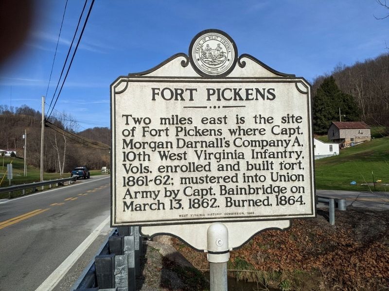
Fort Pickens
Erected 1963 by West Virginia Historic Commission.
Topics. This historical marker is listed in this topic list: War, US Civil. A significant historical date for this entry is March 13, 1862.
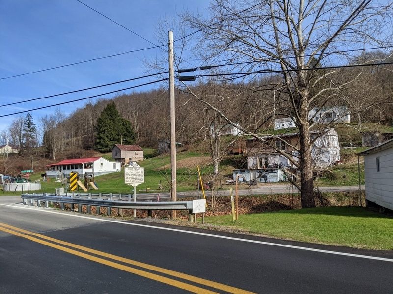
Location. 38° 49.062′ N, 80° 27.725′ W. Marker is in Ireland, West Virginia, in Lewis County. Marker is at the intersection of Gauley Turnpike (U.S. 19) and Wildcat Road, on the right when traveling north on Gauley Turnpike. Touch for map. Marker is in this post office area: Ireland WV 26376, United States of America. Touch for directions.
Other nearby markers. At least 8 other markers are within 6 miles of this marker, measured as the crow flies. Lewis County / Braxton County (approx. 1.7 miles away); Fort Pickens / Engagements of Co. A (approx. 2.9 miles away); Bennett-Camden (approx. 3.3 miles away); McCauley Barn (approx. 5.6 miles away); Food Cellar (approx. 5.6 miles away); Cunningham House (approx. 5.6 miles away); Coal-and-Wood House (approx. 5.6 miles away); Bulltown / Bulltown Battle (approx. 5.6 miles away).
Credits. This page was last revised on November 30, 2020. It was originally submitted on November 30, 2020, by Mike Wintermantel of Pittsburgh, Pennsylvania. This page has been viewed 206 times since then and 28 times this year. Photos: 1, 2. submitted on November 30, 2020, by Mike Wintermantel of Pittsburgh, Pennsylvania.

