Limerick in Louisville in Jefferson County, Kentucky — The American South (East South Central)
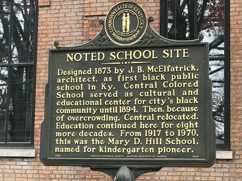
Noted School Site
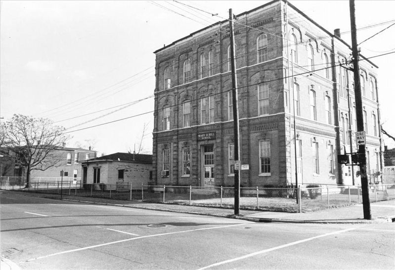
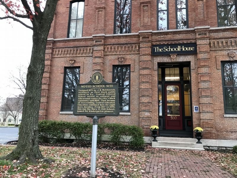
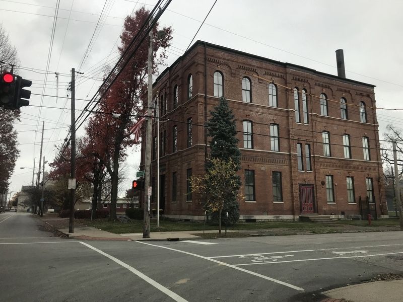
Designed in 1873 by B.J. McElfatrick, architect, as first black public school in Ky. Central Colored School served as cultural and educational center for city's black community until 1894. Then, because of overcrowding, Central relocated. Education continued here for eight more decades. From 1917 to 1970, this was the Mary D. Hill School, named for kindergarten pioneer.
Erected 1992 by Kentucky Historical Society and Kentucky Department of Highways. (Marker Number 1898.)
Topics and series. This historical marker is listed in these topic lists: African Americans • Education. In addition, it is included in the Kentucky Historical Society series list. A significant historical year for this entry is 1873.
Location. 38° 14.384′ N, 85° 45.755′ W. Marker is in Louisville, Kentucky, in Jefferson County. It is in Limerick. Marker is at the intersection of West Kentucky Street and South 6th Street, on the right when traveling east on West Kentucky Street. Touch for map. Marker is at or near this postal address: 550 West Kentucky Street, Louisville KY 40203, United States of America. Touch for directions.
Other nearby markers. At least 8 other markers are within walking distance of this marker. Simmons University (about 600 feet away, measured in a direct line); Louisville Municipal College (about 800 feet away); Memorial Auditorium / Performers at Memorial (approx. 0.2 miles away); Bayly-Schroering House (approx. 0.2 miles away); Thierman Apartments (approx. 0.2 miles away); Presentation Academy (approx. ¼ mile away); Immanuel Baptist Church / First Christian-Lampton Baptist (approx. ¼ mile away); Columbia Gym (approx. 0.3 miles away). Touch for a list and map of all markers in Louisville.

via NPS, unknown
3. Central Colored School
National Register of Historic Places Digital Archive on NPGallery website entry
Click for more information.
Click for more information.
Credits. This page was last revised on February 12, 2023. It was originally submitted on November 30, 2020, by Duane and Tracy Marsteller of Murfreesboro, Tennessee. This page has been viewed 247 times since then and 45 times this year. Photos: 1. submitted on November 30, 2020, by Duane and Tracy Marsteller of Murfreesboro, Tennessee. 2. submitted on December 1, 2020, by Duane and Tracy Marsteller of Murfreesboro, Tennessee. 3. submitted on January 12, 2022, by Larry Gertner of New York, New York. 4. submitted on December 1, 2020, by Duane and Tracy Marsteller of Murfreesboro, Tennessee.


