Near Ellis Grove in Randolph County, Illinois — The American Midwest (Great Lakes)
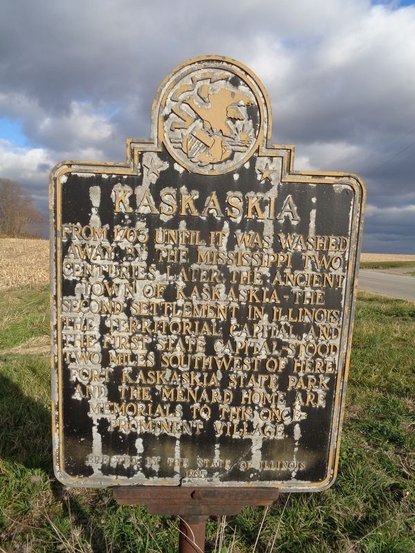
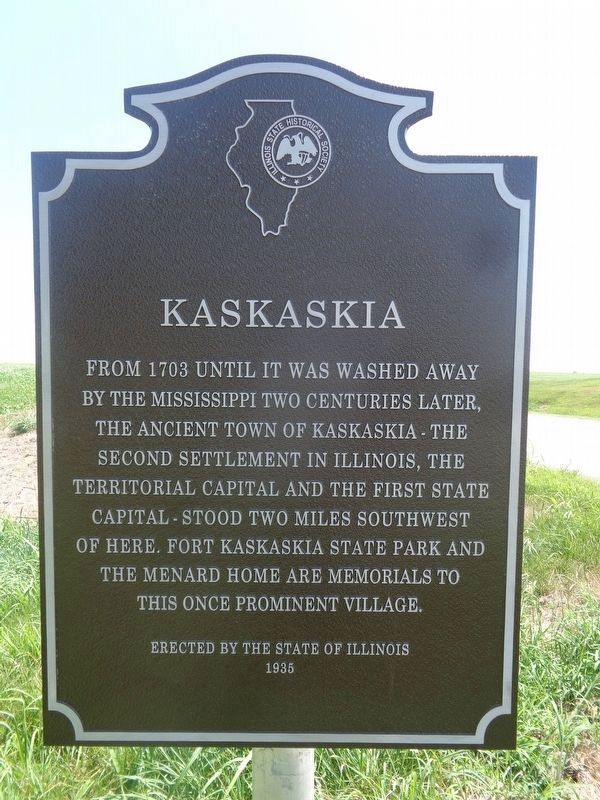
Kaskaskia
Erected 1935 by the State of Illinois.
Topics and series. This historical marker is listed in these topic lists: Parks & Recreational Areas • Settlements & Settlers. In addition, it is included in the Illinois State Historical Society series list. A significant historical year for this entry is 1703.
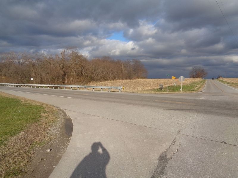
Location. 37° 58.586′ N, 89° 52.816′ W. Marker is near Ellis Grove, Illinois, in Randolph County. Marker is at the intersection of Illinois Route 3 and Shawneetown Trail (County Route 3), on the right when traveling north on State Route 3. Touch for map. Marker is at or near this postal address: 4601 Co Rd 3, Ellis Grove IL 62241, United States of America. Touch for directions.
Other nearby markers. At least 8 other markers are within 2 miles of this marker, measured as the crow flies. Site of Fort Kaskaskia (approx. 1.7 miles away); Garrison Hill Cemetery (approx. 1.7 miles away); Looking For a Few Good Men (approx. 1.7 miles away); Fort Kaskaskia Shelter (approx. 1.7 miles away); Kaskaskia Village (approx. 1.7 miles away); Kaskaskia Island (approx. 1.7 miles away); Home of Pierre Menard (approx. 1.7 miles away); Dedicated in Memory of George Rogers Clark (approx. 1.7 miles away). Touch for a list and map of all markers in Ellis Grove.
Also see . . . Kaskaskia, Illinois on Wikipedia. History of the forgotten state capital city, which currently has no more than 15 residents. (Submitted on November 30, 2020, by Jason Voigt of Glen Carbon, Illinois.)
Credits. This page was last revised on August 3, 2022. It was originally submitted on November 30, 2020, by Jason Voigt of Glen Carbon, Illinois. This page has been viewed 175 times since then and 17 times this year. Photos: 1. submitted on November 30, 2020, by Jason Voigt of Glen Carbon, Illinois. 2. submitted on August 3, 2022, by Jason Voigt of Glen Carbon, Illinois. 3. submitted on November 30, 2020, by Jason Voigt of Glen Carbon, Illinois.


