Camp Taylor in Louisville in Jefferson County, Kentucky — The American South (East South Central)
Camp Zachary Taylor
Inscription.
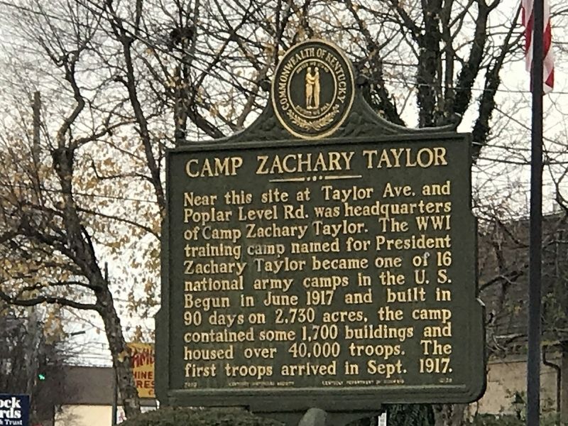
Near this site at Taylor Ave. and Poplar Level Rd. was headquarters of Camp Zachary Taylor. The WWI training camp named for President Zachary Taylor became one of 16 national army camps in the U.S. Begun in June 1917 and built in 90 days on 2,730 acres, the camp contained some 1,700 buildings and housed over 40,000 troops. The first troops arrived in Sept. 1917.
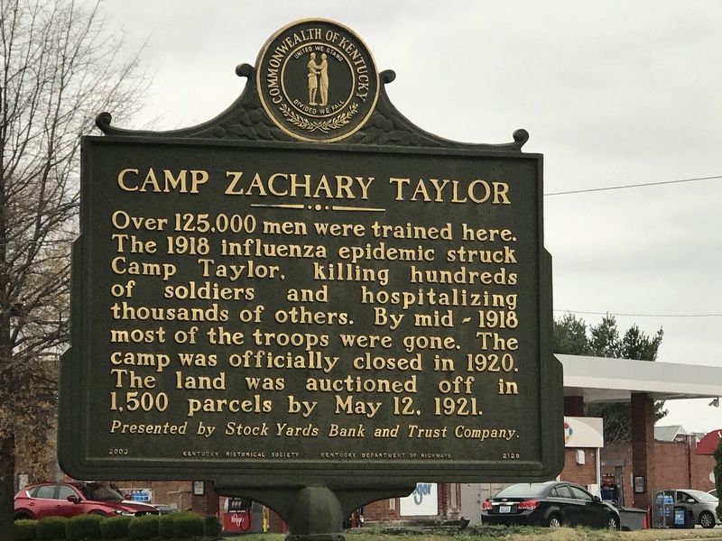
Over 125,000 men were trained here. The 1918 influenza epidemic struck Camp Taylor, killing hundreds of soldiers and hospitalizing thousands of others. By mid-1918 most of the troops were gone. The camp was officially closed in 1920. The land was auctioned off in 1,500 parcels by May 12, 1921.
Erected 2003 by Kentucky Historical Society and Kentucky Department of Highways. (Marker Number 2126.)
Topics and series. This historical marker is listed in this topic list: War, World I. In addition, it is included in the Kentucky Historical Society series list. A significant historical date for this entry is May 12, 1921.
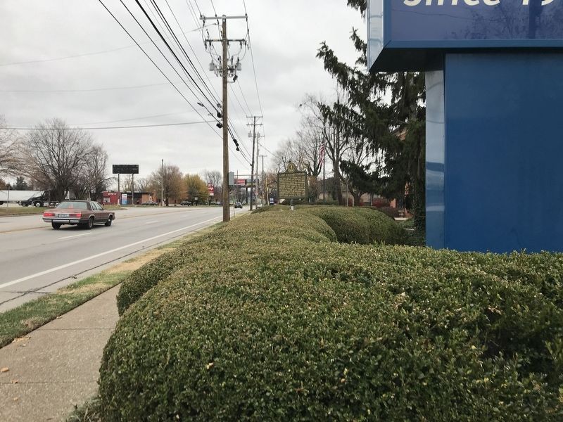
Location. 38° 12.052′ N, 85° 42.563′ W. Marker is in Louisville, Kentucky, in Jefferson County. It is in Camp Taylor. Marker is on Poplar Level Road (State Road 864) south of Mercer Avenue , on the right when traveling south. Touch for map. Marker is at or near this postal address: 4016 Poplar Level Road, Louisville KY 40213, United States of America. Touch for directions.
Other nearby markers. At least 8 other markers are within 3 miles of this marker, measured as the crow flies. City of Audubon Park / A Natural Garden Spot (approx. 1.4 miles away); Hayfield (approx. 1.4 miles away); Lewis and Clark in Kentucky — Mulberry Hill / Mulberry Hill (approx. 1˝ miles away); Lewis and Clark in Kentucky Trough Spring / Trough Spring (approx. 1˝ miles away); Tom Moore Memorial (approx. 1.7 miles away); Louisville Cemetery / William Walker, Sr. (1860-1933) (approx. 1.9 miles away); Farmington (approx. 2.2 miles away); St. James Roman Catholic Church (approx. 2.2 miles away). Touch for a list and map of all markers in Louisville.
Credits. This page was last revised on February 12, 2023. It was originally submitted on December 1, 2020, by Duane and Tracy Marsteller of Murfreesboro, Tennessee. This page has been viewed 341 times since then and 40 times this year. Photos: 1, 2. submitted on December 1, 2020, by Duane and Tracy Marsteller of Murfreesboro, Tennessee. 3. submitted on December 2, 2020, by Duane and Tracy Marsteller of Murfreesboro, Tennessee.


