West Village in Manhattan in New York County, New York — The American Northeast (Mid-Atlantic)
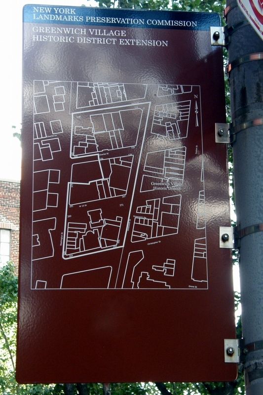
Greenwich Village Historic District Extension
New York Landmarks Preservation Commission
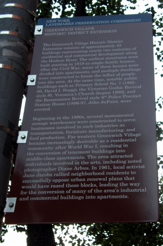
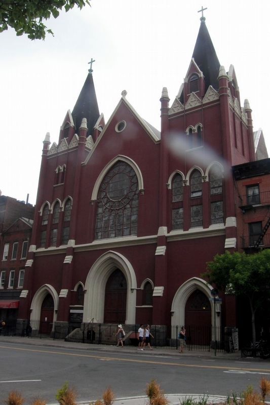
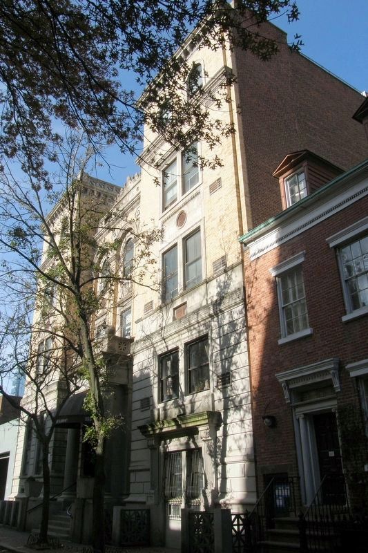
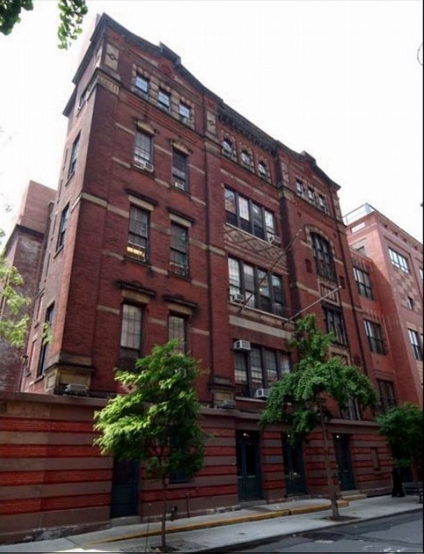
The Greenwich Village Historic District Extension consists of approximately 45 buildings representing nearly two centuries of residential and commercial development along the Hudson River. The earliest structures were built starting in 1819 as single-family houses. After the Civil War, many of those houses were divided into apartments, and multiple dwellings were constructed to house the influx of people into the area. At the same time, notable public buildings such as Primary School No. 7 (1885-86, David I. Stagg), the Victorian Gothic Revival style St. Veronica’s Church (begun 1890), and the Renaissance Revival style 9th Police Precinct Station House (1896-97, John duFais), were erected.
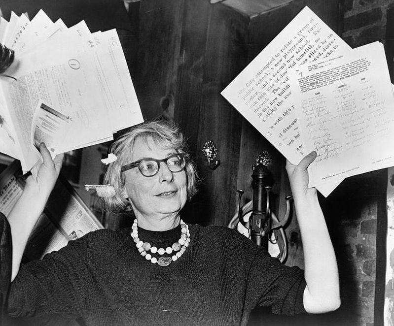
Beginning in the 1890s, several monumental storage warehouses were constructed to serve businesses involved in such industries as transportation, furniture manufacturing, and food production. Far western Greenwich Village became increasingly desirable as a residential community after World War I, resulting in the conversion of tenement buildings into middle-class apartments. The area attracted individuals involved in the arts, including noted photographer Diane Arbus. In 1961, local activist Jane Jacobs rallied neighborhood residents to successfully oppose urban renewal plans that would have razed these blocks, leading the way for the conversion of many of the area’s industrial and commercial buildings into apartments.
Topics. This historical marker is listed in this topic list: Architecture. A significant historical year for this entry is 1819.
Location. 40° 44.053′ N, 74° 0.465′ W. Marker is in Manhattan, New York, in New York County. It is in West Village. Marker is at the intersection of Charles Street and Greenwich Street, on the right on Charles Street. Touch for map. Marker is at or near this postal address: 131 1/2 Charles St, New York NY 10014, United States of America. Touch for directions.
Other nearby markers. At least 8 other markers are within walking distance of this marker. 134 Charles Street (a few steps from this marker); Greenwich Village Historic District (about 500 feet away, measured in a direct line); Jane Jacobs (about 600 feet away); Boyhood Home of Bret Harte (about 600 feet away); 304 West 10th Street (about 600 feet away); The Playwrights’ Sidewalk (about 700 feet away); Weehawken Street (about 700 feet away); The Archive (about 700 feet away). Touch for a list and map of all markers in Manhattan.
Regarding Greenwich Village Historic District Extension. All these building are individually listed in the "AIA (American Institute of Architects) Guide to New York City, Fifth Edition".
Also see . . .
1. Greenwich Village Historic District Extension Designation Report. New York Landmarks Preservation Commission, 2006 (Submitted on December 1, 2020, by Larry Gertner of New York, New York.)
2. The 1903 Church of St. Veronica -- No. 153 Christopher Street. "Daytonian in Manhattan" entry (Submitted on December 1, 2020, by Larry Gertner of New York, New York.)
3. The 1897 Charles Street Police Station. "Daytonian in Manhattan" entry. (Submitted on December 1, 2020, by Larry Gertner of New York, New York.)
4. Public School No. 7 - 272 West 10th Street. "Daytonian in Manhattan" entry (Submitted on December 1, 2020, by Larry Gertner of New York, New York.)
5. Jane Jacobs. Wikipedia biography (Submitted on December 1, 2020, by Larry Gertner of New York, New York.)
Credits. This page was last revised on January 31, 2023. It was originally submitted on December 1, 2020, by Larry Gertner of New York, New York. This page has been viewed 160 times since then and 19 times this year. Photos: 1, 2, 3, 4, 5, 6, 7. submitted on December 1, 2020, by Larry Gertner of New York, New York.
