Charloe in Paulding County, Ohio — The American Midwest (Great Lakes)
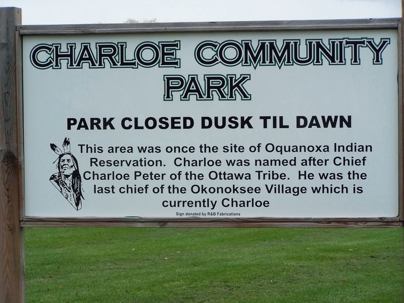
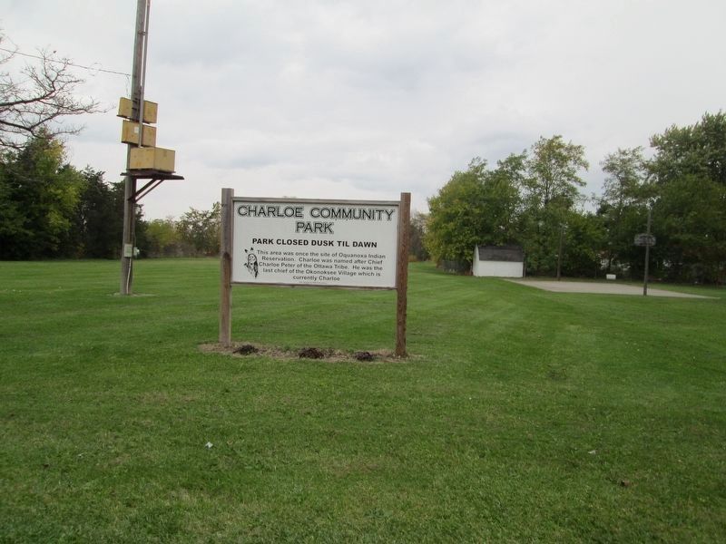
Charloe Community Park
Park Closed Dunk Til Dawn
Erected by R&B Fabrications.
Topics. This historical marker is listed in these topic lists: Native Americans • Settlements & Settlers.
Location. 41° 7.892′ N, 84° 26.074′ W. Marker is in Charloe, Ohio, in Paulding County. Marker is on County Road 138 just west of County Road 171, on the right when traveling west. Touch for map. Marker is at or near this postal address: 20166 Rd 138, Oakwood OH 45873, United States of America. Touch for directions.
Other nearby markers. At least 8 other markers are within 8 miles of this marker, measured as the crow flies. Charloe (a few steps from this marker); Imaginary Likeness Of Chief Charloe Peter (within shouting distance of this marker); Site of Fort Brown (approx. 1.7 miles away); Fort Brown (approx. 1.7 miles away); The Indians (approx. 1.7 miles away); Miami-Erie and Wabash-Erie Canals (approx. 4˝ miles away); Joshua A. Ramsey Memorial (approx. 5.3 miles away); Location of The Village of Milburn (approx. 7.2 miles away). Touch for a list and map of all markers in Charloe.
Credits. This page was last revised on December 1, 2020. It was originally submitted on December 1, 2020, by Rev. Ronald Irick of West Liberty, Ohio. This page has been viewed 148 times since then and 25 times this year. Photos: 1, 2. submitted on December 6, 2014, by Rev. Ronald Irick of West Liberty, Ohio. • Devry Becker Jones was the editor who published this page.

