Rocksprings in Edwards County, Texas — The American South (West South Central)
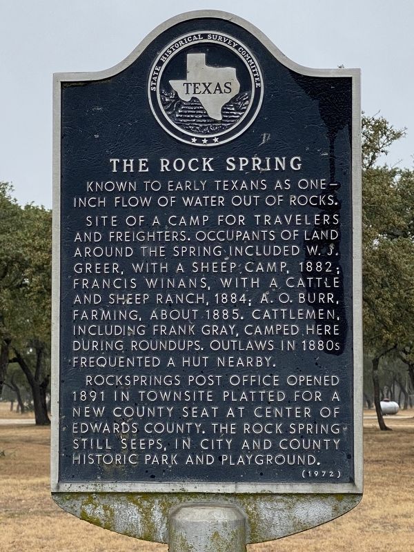
The Rock Spring
Known to early Texans as one inch flow of water out of rocks.
Site of a camp for travelers and freighters. Occupants of land around the spring included W. J. Greer, with a sheep camp, 1882; Francis Winans, with a cattle and sheep ranch, 1884; A. O. Burr, farming, about 1885. Cattlemen, including Frank Gray, camped here during roundups. Outlaws in 1880s frequented a hut nearby.
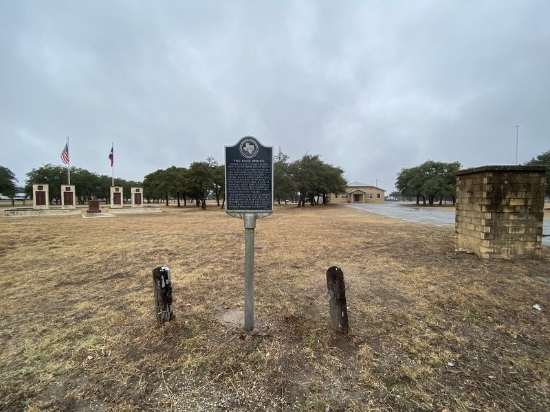
Rocksprings Post Office opened 1891 in townsite platted for a new county seat at center of Edwards County. The rock spring still seeps in city and county historic park and playground.
Erected 1972 by State Historical Survey Committee. (Marker Number 5417.)
Topics. This historical marker is listed in this topic list: Natural Features.
Location. 30° 1.352′ N, 100° 12.225′ W. Marker is in Rocksprings, Texas, in Edwards County. Marker is on U.S. 377, 0.1 miles north of East Edwards Street, on the right when traveling south. Touch for map. Marker is in this post office area: Rocksprings TX 78880, United States of America. Touch for directions.
Other nearby markers. At least 8 other markers are within walking distance of this marker. Rocksprings Cemetery (about 800 feet away, measured in a direct line); Old Carson Store (approx. half a mile away); Gilmer Hotel (approx. half a mile away); Edwards County Courthouse (approx. half a mile away); Rocksprings Telephone Company (approx. half a mile away); First Methodist Church (approx. half a mile away); Headquarters, American Angora Goat Breeders' Assn. (approx. half a mile away); The Sesquicentennial Committee Erects This Marker (approx. half a mile away). Touch for a list and map of all markers in Rocksprings.
Credits. This page was last revised on April 13, 2021. It was originally submitted on December 2, 2020, by Brian Anderson of Humble, Texas. This page has been viewed 197 times since then and 53 times this year. Photos: 1, 2. submitted on December 3, 2020, by Brian Anderson of Humble, Texas.

