Fort Benton in Chouteau County, Montana — The American West (Mountains)
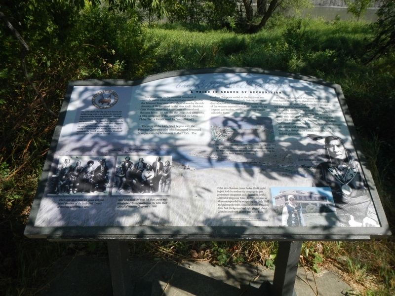
The Little Shell Chippewa
Tribe in Search of Recognition

Photographed By Barry Swackhamer, August 22, 2020
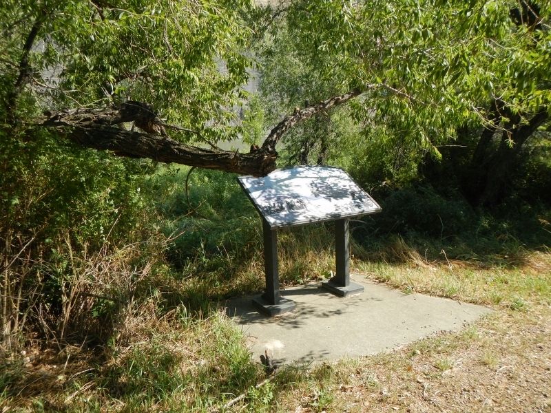
1. The Little Shell Chippewa Marker
Captions: (bottom left) Chief Little Shell, front left, poses with full-blood members of the Little Shell Council of Penbian Chippewa, C. 1890.; Chief Little Shell, 3rd from the left, front, poses with mixed-blood (Métis) members of the Little Shell Council of Pembian Chippewa; c. 1890.; (map, center) Little Shell Historical Movements.; (bottom center) Tribal Vice-Chairman, James Parker Shield (right) helped lead the modern-day campaign to gain government recognition and a homeland for the Little Shell Chippewa Tribe. In 2007, the State of Montana responded by recognizing the Little Shell and granting the tribe a small land-base at Morony State Park (background and right photos), about 28 miles southwest fo here near Great Falls.; (right edge) Chief Thomas Little Shell, c. 1890.
The story of the Little Shell begins with the Pembina Chippewa tribe which migrated westward from present-day Minnesota in the 1750s. The Pembina Chippewa settled in the Red River area overlapping Canada and North Dakota, where they adopted the customs of plains tribes. Many of the women married French and Scots-Irish fur trappers and traders, resulting in a new culture called the Métis.
In 1892, the Little Shell Chippewa and Métis were based on the Turtle Mountain Reservation in Dakota Territory when Chief Little Shell refused to sell their land to homesteaders. The government retaliated by removing Little Shell and his followers fro the reservation membership list, leaving the group with no place to call home. They migrated westward to present-day Montana, hunting buffalo. Welcomed nowhere, they eventually scattered throughout central and northern Montana, and have worked ever since to reacquire formal recognition by the federal government.
Sidebar on left:
The Little Shell tribal flag and seal features the buffalo facing west to symbolize the westward migration of the Pembina Chippewa. The Eagle Staff represents the traditional Chippewa culture and spiritualism. The "Assiniboia" flag reflects the mixed-blood heritage of the Little Shell Chippewa: the reds and white background indicates the mixing of Native and non-Native, the "fleur-de-lis" represents the French ancestry and the "shamrock"" represents the Irish and Scot ancestry.
Erected by Missouri Breaks Interpretive Center.
Topics. This historical marker is listed in this topic list: Native Americans.
Location. 47° 48.629′ N, 110° 40.354′ W. Marker is in Fort Benton, Montana, in Chouteau County. Marker can be reached from 7th Street West near River Street. The marker is on the grounds of the Missouri Breaks Interpretive Center. Touch for map. Marker is at or near this postal address: 701 7th Street, Fort Benton MT 59442, United States of America. Touch for directions.
Other nearby markers. At least 8 other markers are within walking distance of this marker. Priming the Pump (a few steps from this marker); Cow Island Incident (within shouting distance of this marker); Most Progressive in Montana (within shouting distance of this marker); Grasshoppers in the River? (within shouting distance of this marker); Fort LaBarge (about 600 feet away, measured in a direct line); Whoop Up Trail (about 800 feet away); Great Northern Railway (approx. 0.2 miles away); Nez Perce Fight (approx. 0.2 miles away). Touch for a list and map of all markers in Fort Benton.
Credits. This page was last revised on December 2, 2020. It was originally submitted on December 2, 2020, by Barry Swackhamer of Brentwood, California. This page has been viewed 228 times since then and 35 times this year. Photos: 1, 2. submitted on December 2, 2020, by Barry Swackhamer of Brentwood, California.
