Near Uvalde in Uvalde County, Texas — The American South (West South Central)
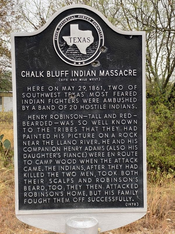
Chalk Bluff Indian Massacre
(Site One Mile West)
Here on May 29, 1861, two of southwest Texas' most feared Indian fighters were ambushed by a band of 20 hostile Indians.
Henry Robinson - tall and red-bearded - was so well known to the tribes that they had painted his picture on a rock near the Llano River. He and his companion Henry Adams (also his daughter's fiance) were in route to Camp Wood when the attack came. The Indians, after they had killed the two men, took both their scalps and Robinson's beard, too; they then attacked Robinson's home, but his family fought them off successfully.
Erected 1970 by State Historical Survey Committee. (Marker Number 799.)
Topics. This historical marker is listed in these topic lists: Settlements & Settlers • Wars, US Indian. A significant historical date for this entry is May 29, 1861.
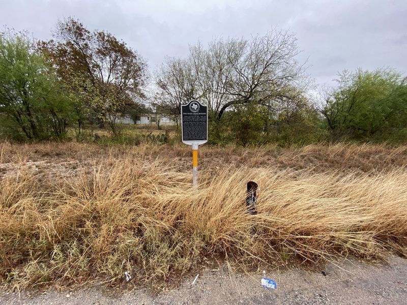
Location. 29° 22.225′ N, 99° 58.16′ W. Marker is near Uvalde, Texas, in Uvalde County. Marker is at the intersection of State Highway 55 and Chalk Bluff Road, on the left when traveling south on State Highway 55. Touch for map. Marker is in this post office area: Uvalde TX 78801, United States of America. Touch for directions.
Other nearby markers. At least 8 other markers are within 16 miles of this marker, measured as the crow flies. Cline Community (approx. 11.3 miles away); Montell Methodist Church (approx. 11.9 miles away); Church of the Ascension (approx. 12 miles away); Near Site of Nuestra Senora de la Candelaria Mission (approx. 12 miles away); Site of the Mission Nuestra Señora de la Candelaria (approx. 12 miles away); General John R. Baylor (approx. 12 miles away); Dry Frio Canyon (approx. 14 miles away); M.J. "Jerry" Franklin (approx. 15.1 miles away).
Credits. This page was last revised on April 13, 2021. It was originally submitted on December 2, 2020, by Brian Anderson of Humble, Texas. This page has been viewed 4,931 times since then and 773 times this year. Photos: 1, 2. submitted on December 3, 2020, by Brian Anderson of Humble, Texas.

